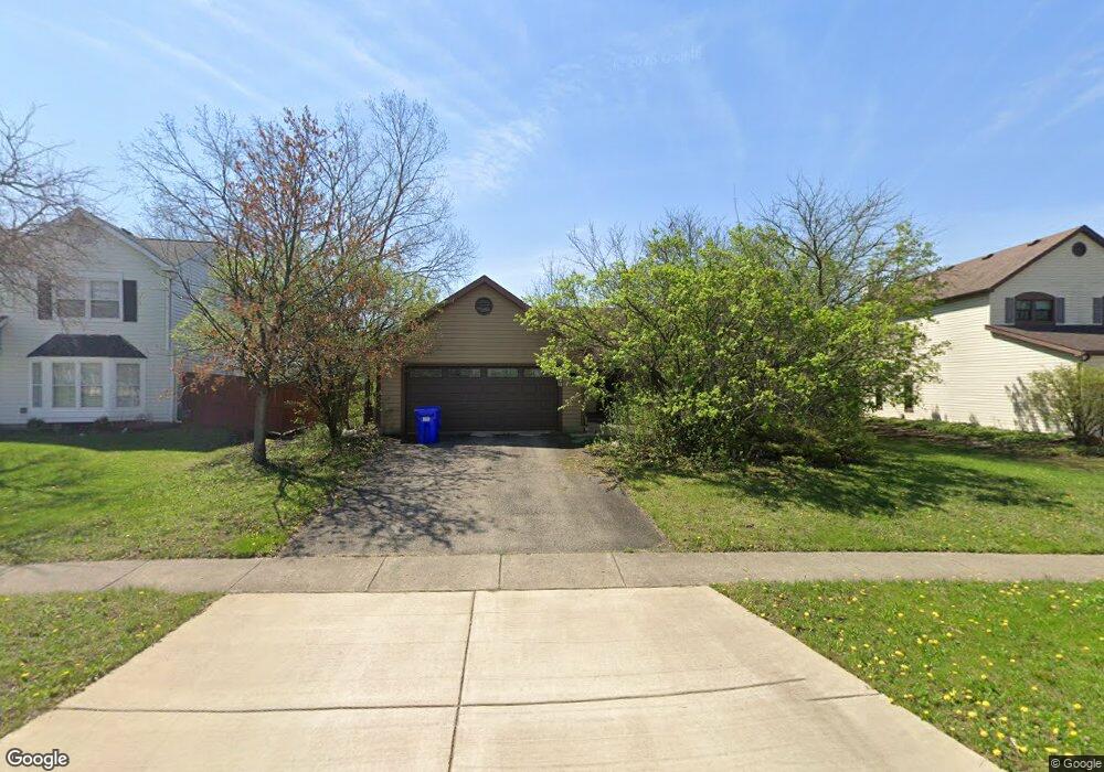
1820 Shetland Dr Wheaton, IL 60189
Estimated Value: $374,319 - $481,000
3
Beds
2
Baths
1,298
Sq Ft
$328/Sq Ft
Est. Value
About This Home
This home is located at 1820 Shetland Dr, Wheaton, IL 60189 and is currently estimated at $425,330, approximately $327 per square foot. 1820 Shetland Dr is a home located in DuPage County with nearby schools including Arbor View Elementary School, Glen Crest Middle School, and Glenbard South High School.
Ownership History
Date
Name
Owned For
Owner Type
Purchase Details
Closed on
Apr 29, 1994
Sold by
Abbott Terri A and Abbott Daszak Terri A
Bought by
Abbott Terri A and Abbott Barbara A
Current Estimated Value
Home Financials for this Owner
Home Financials are based on the most recent Mortgage that was taken out on this home.
Original Mortgage
$79,500
Interest Rate
4.87%
Create a Home Valuation Report for This Property
The Home Valuation Report is an in-depth analysis detailing your home's value as well as a comparison with similar homes in the area
Home Values in the Area
Average Home Value in this Area
Purchase History
| Date | Buyer | Sale Price | Title Company |
|---|---|---|---|
| Abbott Terri A | -- | Mid America Title Company |
Source: Public Records
Mortgage History
| Date | Status | Borrower | Loan Amount |
|---|---|---|---|
| Closed | Abbott Terri A | $79,500 |
Source: Public Records
Tax History
| Year | Tax Paid | Tax Assessment Tax Assessment Total Assessment is a certain percentage of the fair market value that is determined by local assessors to be the total taxable value of land and additions on the property. | Land | Improvement |
|---|---|---|---|---|
| 2024 | $7,621 | $108,879 | $36,970 | $71,909 |
| 2023 | $7,263 | $100,220 | $34,030 | $66,190 |
| 2022 | $6,986 | $94,710 | $32,160 | $62,550 |
| 2021 | $6,985 | $92,470 | $31,400 | $61,070 |
| 2020 | $7,051 | $91,610 | $31,110 | $60,500 |
| 2019 | $6,865 | $89,190 | $30,290 | $58,900 |
| 2018 | $7,047 | $90,370 | $28,540 | $61,830 |
| 2017 | $6,555 | $87,040 | $27,490 | $59,550 |
| 2016 | $6,451 | $83,560 | $26,390 | $57,170 |
| 2015 | $6,397 | $79,720 | $25,180 | $54,540 |
| 2014 | $6,285 | $77,310 | $23,680 | $53,630 |
| 2013 | $6,095 | $77,540 | $23,750 | $53,790 |
Source: Public Records
Map
Nearby Homes
- 23W281 Cambridge Ct
- 23W302 Cambridge Ct
- 23W070 Mulberry Ln
- 23W100 Kings Ct
- 1926 Cheshire Ln
- 1265 Windsor Dr
- 1756 Plymouth Ct Unit B
- 1755 Plymouth Ct Unit D
- 1733 Harrow Ct Unit B
- 3S481 Osage Dr
- 371 W Arboretum Cir
- 1682 Monticello Ct Unit D
- 1230 Bunker Hill Ct Unit A
- 1135 Mount Vernon Ct Unit B
- 1675 Valley Forge Ct Unit A
- 1120 Mount Vernon Ct Unit C
- 3S171 Arboretum Rd Unit 3
- 1551 Briarcliffe Blvd
- 453 Raintree Dr Unit 5A
- 440 Raintree Ct Unit 1G
- 1830 Shetland Dr
- 1840 Shetland Dr
- 2205 Stirrup Ln Unit 4B
- 2171 Stirrup Ln
- 1835 Shetland Dr
- 1850 Shetland Dr
- 2211 Stirrup Ln
- 1845 Shetland Dr
- 2167 Stirrup Ln
- 2182 Stirrup Ln
- 2178 Stirrup Ln
- 2200 Stirrup Ln
- 1860 Shetland Dr
- 1855 Shetland Dr
- 2217 Stirrup Ln
- 2174 Stirrup Ln
- 2206 Stirrup Ln
- 2163 Stirrup Ln
- 2170 Stirrup Ln
- 2146 Derby Ct
Your Personal Tour Guide
Ask me questions while you tour the home.