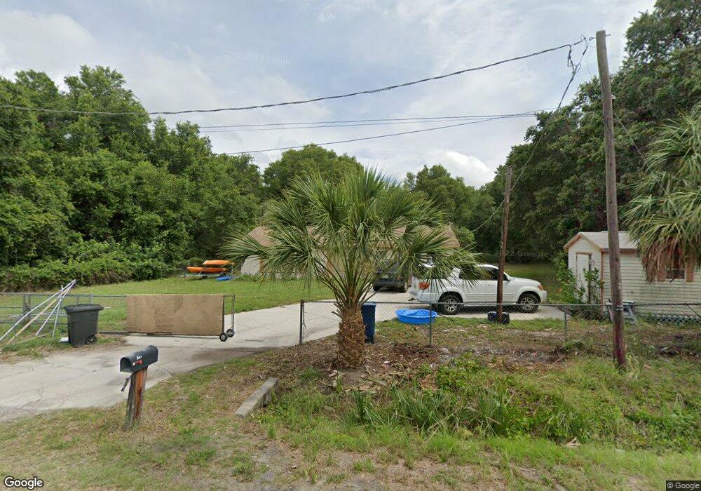
1820 Sutton Rd Palmetto, FL 34221
Rubonia NeighborhoodEstimated Value: $278,000 - $333,000
2
Beds
2
Baths
1,468
Sq Ft
$201/Sq Ft
Est. Value
About This Home
This home is located at 1820 Sutton Rd, Palmetto, FL 34221 and is currently estimated at $295,564, approximately $201 per square foot. 1820 Sutton Rd is a home located in Manatee County with nearby schools including Palm View Elementary School, Palmetto High School, and Imagine Charter School At North Manatee.
Ownership History
Date
Name
Owned For
Owner Type
Purchase Details
Closed on
Oct 31, 2012
Sold by
Anito Amanda K and Anito Joseph C
Bought by
Palaw Llc
Current Estimated Value
Purchase Details
Closed on
Jun 10, 2005
Sold by
Connor William Michael and Connor Debbie Lynn
Bought by
Anito Joseph C and Anito Amanda K
Home Financials for this Owner
Home Financials are based on the most recent Mortgage that was taken out on this home.
Original Mortgage
$202,984
Interest Rate
5.7%
Mortgage Type
VA
Create a Home Valuation Report for This Property
The Home Valuation Report is an in-depth analysis detailing your home's value as well as a comparison with similar homes in the area
Home Values in the Area
Average Home Value in this Area
Purchase History
| Date | Buyer | Sale Price | Title Company |
|---|---|---|---|
| Palaw Llc | $57,500 | Attorney | |
| Anito Joseph C | $196,500 | Gulf Coast Title Closings & |
Source: Public Records
Mortgage History
| Date | Status | Borrower | Loan Amount |
|---|---|---|---|
| Previous Owner | Anito Joseph C | $202,984 |
Source: Public Records
Tax History Compared to Growth
Tax History
| Year | Tax Paid | Tax Assessment Tax Assessment Total Assessment is a certain percentage of the fair market value that is determined by local assessors to be the total taxable value of land and additions on the property. | Land | Improvement |
|---|---|---|---|---|
| 2025 | $2,540 | $173,791 | -- | -- |
| 2024 | $2,540 | $202,878 | $9,168 | $193,710 |
| 2023 | $2,540 | $197,003 | $9,168 | $187,835 |
| 2022 | $2,270 | $168,916 | $8,988 | $159,928 |
| 2021 | $1,838 | $119,781 | $7,921 | $111,860 |
| 2020 | $1,771 | $110,106 | $7,921 | $102,185 |
| 2019 | $1,622 | $98,101 | $7,921 | $90,180 |
| 2018 | $1,576 | $94,172 | $7,921 | $86,251 |
| 2017 | $1,429 | $89,184 | $0 | $0 |
| 2016 | $1,450 | $89,014 | $0 | $0 |
| 2015 | $1,259 | $84,784 | $0 | $0 |
| 2014 | $1,259 | $74,262 | $0 | $0 |
| 2013 | $1,189 | $68,761 | $6,000 | $62,761 |
Source: Public Records
Map
Nearby Homes
- 7923 18th Ave E
- 69 Orange Grove Way
- 74 Orange Grove Way
- 206 Lemon Rd
- 7915 18th Ave E
- 190 Valencia Rd
- 8515 Us Highway 41 N Unit 198
- 119 Parson Brown Rd
- 172 Valencia Rd
- 8515 U S 41
- 8613 Bayshore Rd Unit 45
- 26 Tangerine St
- 97 Kumquat Rd
- 8615 Bayshore Rd Unit 137
- 8615 Bayshore Rd Unit 12
- 8615 Bayshore Rd Unit 11
- 8707 26th Ave E
- 2604 86th St E
- 8703 26th Dr E
- 8721 26th Ave E