1820 Taylor Rd Tecumseh, MI 49286
Estimated Value: $251,000 - $319,000
3
Beds
2
Baths
1,562
Sq Ft
$177/Sq Ft
Est. Value
About This Home
This home is located at 1820 Taylor Rd, Tecumseh, MI 49286 and is currently estimated at $276,902, approximately $177 per square foot. 1820 Taylor Rd is a home located in Lenawee County with nearby schools including Patterson Elementary School, Tecumseh Middle School, and Tecumseh High School.
Ownership History
Date
Name
Owned For
Owner Type
Purchase Details
Closed on
Sep 19, 2018
Sold by
Cadmus Irene
Bought by
Kasper William E
Current Estimated Value
Home Financials for this Owner
Home Financials are based on the most recent Mortgage that was taken out on this home.
Original Mortgage
$137,600
Outstanding Balance
$119,748
Interest Rate
4.5%
Mortgage Type
Purchase Money Mortgage
Estimated Equity
$157,154
Purchase Details
Closed on
Oct 9, 2012
Sold by
Allen Irene G and Cadmus Irene G
Bought by
Cadmus Irene G and Irene Cadmus Trust
Create a Home Valuation Report for This Property
The Home Valuation Report is an in-depth analysis detailing your home's value as well as a comparison with similar homes in the area
Purchase History
| Date | Buyer | Sale Price | Title Company |
|---|---|---|---|
| Kasper William E | $172,000 | -- | |
| Cadmus Irene G | -- | None Available |
Source: Public Records
Mortgage History
| Date | Status | Borrower | Loan Amount |
|---|---|---|---|
| Open | Kasper William E | $137,600 |
Source: Public Records
Tax History
| Year | Tax Paid | Tax Assessment Tax Assessment Total Assessment is a certain percentage of the fair market value that is determined by local assessors to be the total taxable value of land and additions on the property. | Land | Improvement |
|---|---|---|---|---|
| 2025 | $2,349 | $122,500 | $0 | $0 |
| 2024 | $15 | $112,000 | $0 | $0 |
| 2022 | $2,430 | $88,600 | $0 | $0 |
| 2021 | $2,430 | $84,600 | $0 | $0 |
| 2020 | $2,412 | $75,700 | $0 | $0 |
| 2019 | $202,190 | $85,900 | $0 | $0 |
| 2018 | $2,212 | $68,026 | $0 | $0 |
| 2017 | $2,133 | $69,125 | $0 | $0 |
| 2016 | $2,109 | $68,707 | $0 | $0 |
| 2014 | -- | $66,163 | $0 | $0 |
Source: Public Records
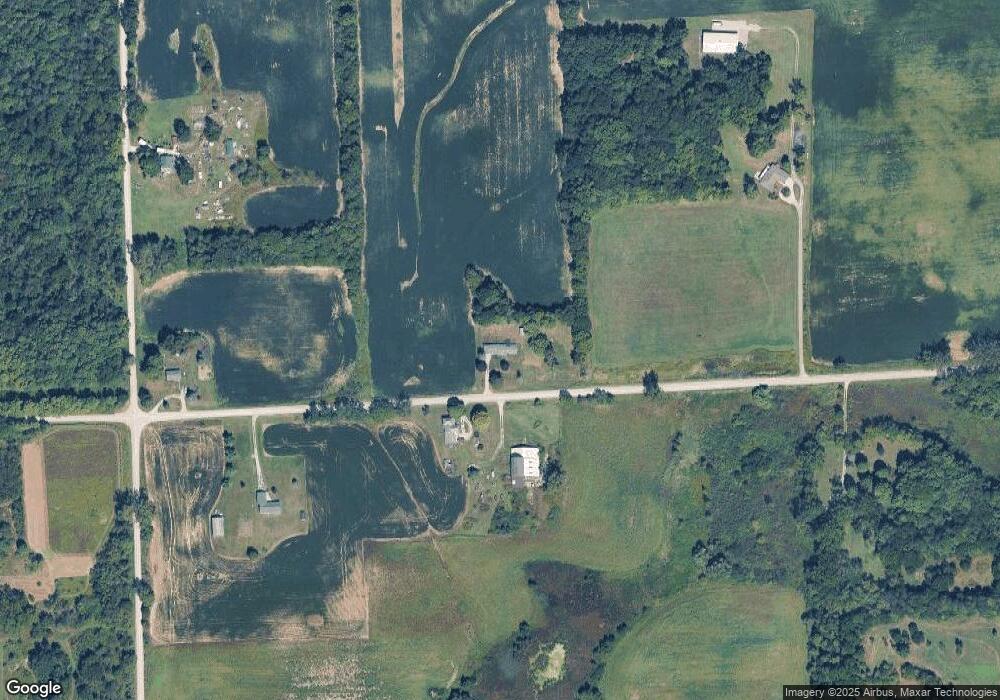
Map
Nearby Homes
- 12135 N Adrian Hwy
- 9000 Matthews Hwy
- W Us-12 Hwy
- 0 W Us-12 Hwy Unit 26002956
- 1251 E Monroe Rd
- 4055 Monroe Rd
- 317 Clark St Unit B
- 316 W Michigan Ave Unit 28
- 19740 Lemm Rd
- 11180 Tecumseh - Clinton Hwy
- 108 Burton St
- 100 BLK Pleasant Dr
- 102 Tyrrell St
- V/L Post Oak Dr
- 3987 W M 50 M 50
- 20664 Allen Rd
- 410 Settlers Cove
- 700 Blk N Occidental Rd
- 9103 N Union Lot #116 St Unit 116
- 9103 N Union St Unit LOT 46
- 1825 Taylor Rd
- 1977 Taylor Rd
- 1980 Taylor Rd
- 000 Carson Hwy
- 11143 Carson Hwy
- 1600 Taylor Rd
- 10758 Carson Hwy
- 11000 Carson Hwy
- 2223 Taylor Rd
- 10684 Carson Hwy
- 1571 Taylor Rd
- 1453 Taylor Rd
- 1450 Taylor Rd
- 0 Carson Hwy Unit 4509479
- 0 Carson Hwy Unit 3211952
- 0 Carson Hwy Unit 543211952
- 0 Carson Hwy Unit G31356730
- 0 Carson Hwy Unit 3256229
- 1349 Taylor Rd
- 11497 Carson Hwy
Your Personal Tour Guide
Ask me questions while you tour the home.