1820 Wynncrest Dr Marietta, OH 45750
Estimated Value: $193,000 - $285,000
3
Beds
2
Baths
1,344
Sq Ft
$183/Sq Ft
Est. Value
About This Home
This home is located at 1820 Wynncrest Dr, Marietta, OH 45750 and is currently estimated at $245,709, approximately $182 per square foot. 1820 Wynncrest Dr is a home located in Washington County with nearby schools including Warren High School.
Ownership History
Date
Name
Owned For
Owner Type
Purchase Details
Closed on
Oct 11, 2006
Sold by
Arnold Ronald D and Arnold Beckie P
Bought by
Wussick David and Wussick Michelle
Current Estimated Value
Home Financials for this Owner
Home Financials are based on the most recent Mortgage that was taken out on this home.
Original Mortgage
$148,500
Interest Rate
8.45%
Mortgage Type
Adjustable Rate Mortgage/ARM
Create a Home Valuation Report for This Property
The Home Valuation Report is an in-depth analysis detailing your home's value as well as a comparison with similar homes in the area
Home Values in the Area
Average Home Value in this Area
Purchase History
| Date | Buyer | Sale Price | Title Company |
|---|---|---|---|
| Wussick David | $165,000 | C&R Title Agency Inc |
Source: Public Records
Mortgage History
| Date | Status | Borrower | Loan Amount |
|---|---|---|---|
| Previous Owner | Wussick David | $148,500 |
Source: Public Records
Tax History Compared to Growth
Tax History
| Year | Tax Paid | Tax Assessment Tax Assessment Total Assessment is a certain percentage of the fair market value that is determined by local assessors to be the total taxable value of land and additions on the property. | Land | Improvement |
|---|---|---|---|---|
| 2024 | $2,755 | $71,070 | $14,190 | $56,880 |
| 2023 | $2,755 | $71,070 | $14,190 | $56,880 |
| 2022 | $2,747 | $71,070 | $14,190 | $56,880 |
| 2021 | $1,993 | $49,290 | $9,840 | $39,450 |
| 2020 | $1,991 | $49,290 | $9,840 | $39,450 |
| 2019 | $1,963 | $49,290 | $9,840 | $39,450 |
| 2018 | $1,822 | $44,370 | $8,550 | $35,820 |
| 2017 | $1,813 | $44,370 | $8,550 | $35,820 |
| 2016 | $2,258 | $44,370 | $8,550 | $35,820 |
| 2015 | $1,434 | $38,860 | $8,200 | $30,660 |
| 2014 | $2,000 | $38,860 | $8,200 | $30,660 |
| 2013 | $1,372 | $38,860 | $8,200 | $30,660 |
Source: Public Records
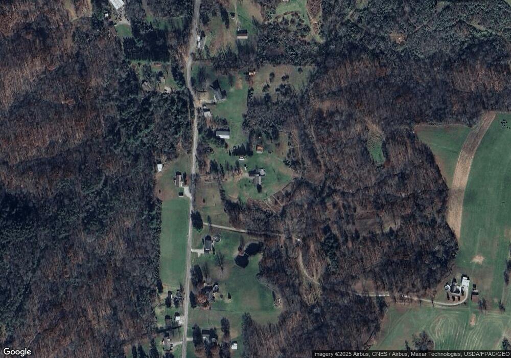
Map
Nearby Homes
- 65 High Point Dr
- 116 Pineview Dr
- 100 Pineview Dr
- 20645 Ohio 676
- 0 Fisher Ridge Rd Tract 8
- 0 Fisher Ridge Rd Tract 7
- 0 Fisher Ridge Rd Tract 6
- 0 Fisher Ridge Rd Tract 5
- 0 Fisher Ridge Rd Tract 4
- 254 Riggenbach Hill Rd
- 0 Fisher Ridge Rd Tract 2
- 565 Lang Farm Rd
- 0 Fisher Ridge Rd Tract 1
- 0 Fisher Ridge Rd
- 305 Flintwood Dr
- 375 Belavista Dr
- 1876 Pine Ridge Rd
- 1998 Reese Rd
- 204 Coventry Rd
- 117 Clark St
- 1805 Wynncrest Dr
- 1740 Wynncrest Dr
- 1890 Wynncrest Dr
- 1710 Wynncrest Dr
- 1945 Wynncrest Dr
- 2030 Wynncrest Dr
- 1915 Wynncrest Dr
- 1640 Wynncrest Dr
- 1665 Wynncrest Dr
- 1635 Wynncrest Dr
- 1580 Wynncrest Dr
- 2060 Wynncrest Dr
- 1584 Wynncrest Dr
- 1788 Wynncrest Dr
- 1530 Wynncrest Dr
- 2150 Wynncrest Dr
- 2110 Wynncrest Dr
- 2190 Wynncrest Dr
- 1425 Wynncrest Dr
- 2215 Wynncrest Dr