18200 E 395 Rd Claremore, OK 74017
Estimated Value: $315,059 - $382,000
3
Beds
2
Baths
2,590
Sq Ft
$131/Sq Ft
Est. Value
About This Home
This home is located at 18200 E 395 Rd, Claremore, OK 74017 and is currently estimated at $338,765, approximately $130 per square foot. 18200 E 395 Rd is a home located in Rogers County with nearby schools including Foyil Elementary School.
Ownership History
Date
Name
Owned For
Owner Type
Purchase Details
Closed on
Oct 31, 2007
Sold by
White Tracy and White Lori
Bought by
Chandler Scott R and Fairchild Jennifer B
Current Estimated Value
Home Financials for this Owner
Home Financials are based on the most recent Mortgage that was taken out on this home.
Original Mortgage
$161,500
Outstanding Balance
$101,462
Interest Rate
6.42%
Mortgage Type
New Conventional
Estimated Equity
$237,303
Purchase Details
Closed on
Jun 1, 2003
Sold by
Christian Anthony P
Purchase Details
Closed on
Apr 28, 1998
Sold by
Stangland Richard W
Create a Home Valuation Report for This Property
The Home Valuation Report is an in-depth analysis detailing your home's value as well as a comparison with similar homes in the area
Purchase History
| Date | Buyer | Sale Price | Title Company |
|---|---|---|---|
| Chandler Scott R | $170,000 | None Available | |
| -- | $103,000 | -- | |
| -- | $93,000 | -- |
Source: Public Records
Mortgage History
| Date | Status | Borrower | Loan Amount |
|---|---|---|---|
| Open | Chandler Scott R | $161,500 |
Source: Public Records
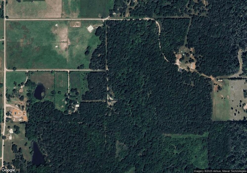
Map
Nearby Homes
- 11930 S 4220 Rd
- 12233 S Oak St
- 17310 E 400 Rd
- 17603 E Meadow Ln
- 0 E 390 Rd Unit 2607773
- 19450 E Acorn Rd
- 19840 E Highway 28 Hwy
- 18542 E 380 Rd
- 12795 S 4200 Rd
- 12492 S 4200 Rd Unit b
- 11822 S Rawhide Rd
- 426550 E 250 Rd
- 13780 S 4220 Rd
- 16254 E 410 Rd
- 16762 E 380 Rd
- 17712 E 370 Rd
- 17479 E 370 Rd
- 14800 S 4220 Rd
- 14751 S 4220 Rd
- 18007 Marian Ave
- 18102 E 395 Rd
- 18155 E 395 Rd
- 18500 E 394 Rd
- 18445 E Hwy 28a
- 18445 E Highway 28a
- 18052 E 395 Rd
- 11769 S 4210 Rd
- 18161 E Highway 28a
- 18200 E 390 Rd
- 11510 S 4210 Rd
- 11855 S 4210 Rd
- 0 S 4210 Rd Unit 2327794
- 0 S 4210 Rd Unit 1641036
- 0 S 4210 Rd Unit 1811749
- 0 S 4210 Rd Unit 1838282
- 0 S 4210 Rd Unit 1913618
- 0 S 4210 Rd Unit 1922378
- 0 S 4210 Rd Unit 2126735
- 18101 E Highway 28a Unit A
Your Personal Tour Guide
Ask me questions while you tour the home.