18202 Hurricane Ct Hagerstown, MD 21740
Collegiate Acres NeighborhoodEstimated Value: $301,019 - $331,000
--
Bed
2
Baths
2,294
Sq Ft
$138/Sq Ft
Est. Value
About This Home
This home is located at 18202 Hurricane Ct, Hagerstown, MD 21740 and is currently estimated at $316,505, approximately $137 per square foot. 18202 Hurricane Ct is a home located in Washington County with nearby schools including Maugansville Elementary School, Western Heights Middle School, and North Hagerstown High School.
Ownership History
Date
Name
Owned For
Owner Type
Purchase Details
Closed on
Dec 22, 2020
Sold by
Gladys Elijah M and Muturi Beth Kinanu
Bought by
Gladys Elijah M and Muturi Beth Kinanu
Current Estimated Value
Home Financials for this Owner
Home Financials are based on the most recent Mortgage that was taken out on this home.
Original Mortgage
$209,300
Interest Rate
2.9%
Mortgage Type
New Conventional
Create a Home Valuation Report for This Property
The Home Valuation Report is an in-depth analysis detailing your home's value as well as a comparison with similar homes in the area
Home Values in the Area
Average Home Value in this Area
Purchase History
| Date | Buyer | Sale Price | Title Company |
|---|---|---|---|
| Gladys Elijah M | -- | None Available |
Source: Public Records
Mortgage History
| Date | Status | Borrower | Loan Amount |
|---|---|---|---|
| Closed | Gladys Elijah M | $209,300 |
Source: Public Records
Tax History Compared to Growth
Tax History
| Year | Tax Paid | Tax Assessment Tax Assessment Total Assessment is a certain percentage of the fair market value that is determined by local assessors to be the total taxable value of land and additions on the property. | Land | Improvement |
|---|---|---|---|---|
| 2025 | $2,289 | $263,600 | $35,000 | $228,600 |
| 2024 | $2,289 | $251,667 | $0 | $0 |
| 2023 | $2,180 | $239,733 | $0 | $0 |
| 2022 | $2,075 | $227,800 | $35,000 | $192,800 |
| 2021 | $2,018 | $222,300 | $0 | $0 |
| 2020 | $2,018 | $216,800 | $0 | $0 |
| 2019 | $1,976 | $211,300 | $35,000 | $176,300 |
| 2018 | $1,959 | $209,500 | $0 | $0 |
| 2017 | $1,927 | $207,700 | $0 | $0 |
| 2016 | -- | $205,900 | $0 | $0 |
| 2015 | -- | $186,700 | $0 | $0 |
| 2014 | -- | $167,500 | $0 | $0 |
Source: Public Records
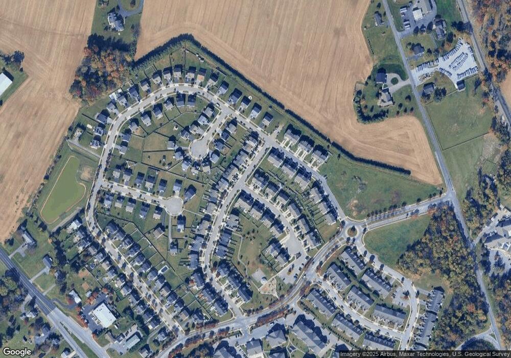
Map
Nearby Homes
- 13020 Yellow Jacket Rd
- 12922 Nittany Lion Cir
- 12922 Salem Ave
- 390 Yorkshire Dr
- 1328 Outer Dr
- 1349 Cedarwood Dr
- 1337 Cedarbrook Dr
- 1424 Outer Dr
- 343 A&B Woodpoint Ave
- 343 Woodpoint Ave Unit A & B
- 341 A&B Woodpoint Ave
- 341 Woodpoint Ave Unit A & B
- 1362 Connecticut Ave
- 1229 Wayne Ave
- 1361 Connecticut Ave
- 13409 Chads Terrace
- 1355 Connecticut Ave
- 17734 Perlite Way
- 1321 Marshall St
- 1113 Green Ln
- 18204 Hurricane Ct
- 18206 Hurricane Ct
- 18208 Hurricane Ct
- 1 Yellow Jacket Rd
- 18212 Hurricane Ct
- Hurricane Ct
- Hurricane Ct
- 13103 Nittany Lion Cir
- 13105 Nittany Lion Cir
- 18214 Hurricane Ct
- 13040 Yellow Jacket Rd
- 13038 Yellow Jacket Rd
- 13042 Yellow Jacket Rd
- 13107 Nittany Lion Cir
- 13034 Yellow Jacket Rd
- 13032 Yellow Jacket Rd
- 13044 Yellow Jacket Rd
- 13048 Yellow Jacket Rd
- 13101 Nittany Lion Cir
- 13030 Yellow Jacket Rd