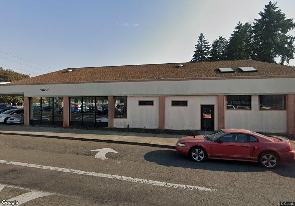
18203 SE Mcloughlin Blvd Milwaukie, OR 97267
Estimated Value: $2,980,492
--
Bed
--
Bath
5,000
Sq Ft
$596/Sq Ft
Est. Value
About This Home
This home is located at 18203 SE Mcloughlin Blvd, Milwaukie, OR 97267 and is currently estimated at $2,980,492, approximately $596 per square foot. 18203 SE Mcloughlin Blvd is a home located in Clackamas County with nearby schools including Jennings Lodge Elementary School, Candy Lane Elementary School, and Gardiner Middle School.
Ownership History
Date
Name
Owned For
Owner Type
Purchase Details
Closed on
May 3, 2012
Sold by
Cherry Enterprises Llc
Bought by
Robert Klossen Llc
Current Estimated Value
Purchase Details
Closed on
Dec 13, 2004
Sold by
Allison Jeffrey S and Holder Charles A
Bought by
Cherry Enterprises Llc
Home Financials for this Owner
Home Financials are based on the most recent Mortgage that was taken out on this home.
Original Mortgage
$790,000
Interest Rate
5.7%
Mortgage Type
Credit Line Revolving
Create a Home Valuation Report for This Property
The Home Valuation Report is an in-depth analysis detailing your home's value as well as a comparison with similar homes in the area
Home Values in the Area
Average Home Value in this Area
Purchase History
| Date | Buyer | Sale Price | Title Company |
|---|---|---|---|
| Robert Klossen Llc | $1,100,000 | Wfg Title | |
| Cherry Enterprises Llc | $710,000 | Ticor Title Insurance Compan |
Source: Public Records
Mortgage History
| Date | Status | Borrower | Loan Amount |
|---|---|---|---|
| Previous Owner | Cherry Enterprises Llc | $790,000 |
Source: Public Records
Tax History Compared to Growth
Tax History
| Year | Tax Paid | Tax Assessment Tax Assessment Total Assessment is a certain percentage of the fair market value that is determined by local assessors to be the total taxable value of land and additions on the property. | Land | Improvement |
|---|---|---|---|---|
| 2025 | $23,227 | $1,393,265 | $682,215 | $711,050 |
| 2024 | $20,514 | $1,328,385 | $650,035 | $678,350 |
| 2023 | $20,514 | $1,423,699 | $0 | $0 |
| 2022 | $21,937 | $1,382,233 | $0 | $0 |
| 2021 | $21,027 | $1,341,974 | $0 | $0 |
| 2020 | $20,448 | $1,302,888 | $0 | $0 |
| 2019 | $20,047 | $1,264,940 | $0 | $0 |
| 2018 | $18,996 | $1,228,097 | $0 | $0 |
| 2017 | $18,526 | $1,192,327 | $0 | $0 |
| 2016 | $18,125 | $1,157,599 | $0 | $0 |
| 2015 | $17,662 | $1,123,883 | $0 | $0 |
| 2014 | $17,091 | $1,091,149 | $0 | $0 |
Source: Public Records
Map
Nearby Homes
- 5227 SE Bandon Ln
- 18515 SE River Rd
- 5314 SE Jennings Ave
- 17770 SE Cook St
- 0 0 Se Jennings Ave
- 5625 SE Jennings Ave
- 5622 SE Jennings Ave
- 4828 SE Ina Ave
- 5905 SE Angel Ln
- 4801 SE Ina Ave
- 4803 SE Ina Ave
- 4807 SE Ina Ave
- 17511 SE Scrutton Ln
- 5503 SE Colony Cir
- 4424 SE Roethe Rd Unit 42
- 4424 SE Roethe Rd
- 5625 SE Clayson Ave
- 17415 SE Colina Vista Ave
- 19319 SE River Rd
- 19145 Addie St
- 4724 SE Jennings Ave
- 18321 SE Mcloughlin Blvd
- 4720 SE Jennings Ave
- 18324 SE Blanton St
- 4717 SE Jennings Ave
- 18181 SE Arista Dr
- 4708 SE Jennings Ave
- 18390 SE Blanton St
- 4707 SE Jennings Ave
- 4710 SE Elston Ct
- 18400 SE Blanton St
- 18040 SE Mcloughlin Blvd
- 18101 SE Arista Dr
- 18222 SE Blanton St
- 4640 SE Jennings Ave
- 18321 SE Blanton St
- 18323 SE Blanton St
- 18418 SE Blanton St
- 4707 SE Elston Ct
- 4696 SE Elston Ct