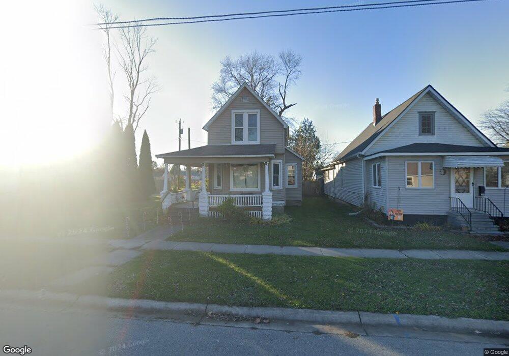
1821 11th Ave Port Huron, MI 48060
Estimated Value: $142,000 - $164,000
3
Beds
1
Bath
1,550
Sq Ft
$100/Sq Ft
Est. Value
About This Home
This home is located at 1821 11th Ave, Port Huron, MI 48060 and is currently estimated at $155,477, approximately $100 per square foot. 1821 11th Ave is a home located in St. Clair County with nearby schools including H.D. Crull Elementary School, Holland Woods Middle School, and Port Huron Northern High School.
Ownership History
Date
Name
Owned For
Owner Type
Purchase Details
Closed on
Dec 13, 2022
Sold by
Labree Homes Llc
Bought by
Investcor Llc
Current Estimated Value
Purchase Details
Closed on
Dec 8, 2022
Sold by
Investcor Llc
Bought by
Z-Company Llc
Purchase Details
Closed on
Mar 17, 2016
Sold by
Mers Inc
Bought by
Labree Homes Llc
Home Financials for this Owner
Home Financials are based on the most recent Mortgage that was taken out on this home.
Original Mortgage
$27,992
Interest Rate
3.65%
Create a Home Valuation Report for This Property
The Home Valuation Report is an in-depth analysis detailing your home's value as well as a comparison with similar homes in the area
Home Values in the Area
Average Home Value in this Area
Purchase History
| Date | Buyer | Sale Price | Title Company |
|---|---|---|---|
| Investcor Llc | -- | -- | |
| Z-Company Llc | -- | -- | |
| Labree Homes Llc | -- | None Available |
Source: Public Records
Mortgage History
| Date | Status | Borrower | Loan Amount |
|---|---|---|---|
| Previous Owner | Labree Homes Llc | $27,992 |
Source: Public Records
Tax History Compared to Growth
Tax History
| Year | Tax Paid | Tax Assessment Tax Assessment Total Assessment is a certain percentage of the fair market value that is determined by local assessors to be the total taxable value of land and additions on the property. | Land | Improvement |
|---|---|---|---|---|
| 2025 | $4,485 | $65,500 | $0 | $0 |
| 2024 | $4,103 | $62,700 | $0 | $0 |
| 2023 | $3,357 | $55,500 | $0 | $0 |
| 2022 | $1,755 | $48,000 | $0 | $0 |
| 2021 | $1,675 | $44,500 | $0 | $0 |
| 2020 | $1,682 | $41,400 | $41,400 | $0 |
| 2019 | $1,652 | $28,600 | $0 | $0 |
| 2018 | $1,615 | $28,600 | $0 | $0 |
| 2017 | $1,482 | $27,000 | $0 | $0 |
| 2016 | $1,317 | $27,000 | $0 | $0 |
| 2015 | $860 | $24,400 | $24,400 | $0 |
| 2014 | $860 | $24,000 | $24,000 | $0 |
| 2013 | -- | $24,100 | $0 | $0 |
Source: Public Records
Map
Nearby Homes
- 1620 McBrady St
- 1632 McBrady St
- 1649 Whipple St
- 1523 11th Ave
- 1802 Riverside Dr
- 1691 McBrady St
- 1503 Elk St
- 1704 Edison Shores Ln Unit 52
- 1907 Riverside Dr
- 1819 Riverside Dr
- 1004 State St
- 1303 10th Ave
- 2400 Stone St Unit 2414
- 1027 Elmwood St
- 2401 Walnut St
- 909 Elmwood St
- 2400 Walnut St
- 1307 Hancock St
- 2419 Cherry St
- 2609 15th Ave