1821 Albert St Hudson, WI 54016
Estimated Value: $373,000 - $423,000
4
Beds
2
Baths
1,792
Sq Ft
$218/Sq Ft
Est. Value
About This Home
This home is located at 1821 Albert St, Hudson, WI 54016 and is currently estimated at $391,206, approximately $218 per square foot. 1821 Albert St is a home located in St. Croix County with nearby schools including River Crest Elementary School, Hudson Middle School, and Hudson High School.
Ownership History
Date
Name
Owned For
Owner Type
Purchase Details
Closed on
Jan 21, 2022
Sold by
Anderson Paul L
Bought by
Paul L Anderson Properties Llc
Current Estimated Value
Purchase Details
Closed on
Jul 21, 2021
Sold by
Anderson Paul L
Bought by
Anderson Paul L and Paul L Anderson Revocable Trust
Purchase Details
Closed on
Sep 30, 2020
Sold by
Gunnlaugsson Dave
Bought by
Anderson Paul L
Purchase Details
Closed on
Aug 11, 2017
Sold by
Geistfeld Thomas T and Geistfeld Pamela J
Bought by
Gunnlaugsson Dave
Home Financials for this Owner
Home Financials are based on the most recent Mortgage that was taken out on this home.
Original Mortgage
$220,924
Interest Rate
3.75%
Mortgage Type
FHA
Create a Home Valuation Report for This Property
The Home Valuation Report is an in-depth analysis detailing your home's value as well as a comparison with similar homes in the area
Home Values in the Area
Average Home Value in this Area
Purchase History
| Date | Buyer | Sale Price | Title Company |
|---|---|---|---|
| Paul L Anderson Properties Llc | -- | None Listed On Document | |
| Anderson Paul L | -- | None Listed On Document | |
| Anderson Paul L | $315,000 | Land Title | |
| Gunnlaugsson Dave | $225,000 | None Available |
Source: Public Records
Mortgage History
| Date | Status | Borrower | Loan Amount |
|---|---|---|---|
| Previous Owner | Gunnlaugsson Dave | $220,924 |
Source: Public Records
Tax History Compared to Growth
Tax History
| Year | Tax Paid | Tax Assessment Tax Assessment Total Assessment is a certain percentage of the fair market value that is determined by local assessors to be the total taxable value of land and additions on the property. | Land | Improvement |
|---|---|---|---|---|
| 2024 | $47 | $262,600 | $60,900 | $201,700 |
| 2023 | $4,462 | $262,600 | $60,900 | $201,700 |
| 2022 | $4,264 | $262,600 | $60,900 | $201,700 |
| 2021 | $4,197 | $262,600 | $60,900 | $201,700 |
| 2020 | $3,271 | $262,600 | $60,900 | $201,700 |
| 2019 | $3,079 | $157,500 | $41,300 | $116,200 |
| 2018 | $3,024 | $157,500 | $41,300 | $116,200 |
| 2017 | $2,884 | $157,500 | $41,300 | $116,200 |
| 2016 | $2,884 | $157,500 | $41,300 | $116,200 |
| 2015 | $2,682 | $157,500 | $41,300 | $116,200 |
| 2014 | $2,680 | $157,500 | $41,300 | $116,200 |
| 2013 | $2,736 | $157,500 | $41,300 | $116,200 |
Source: Public Records
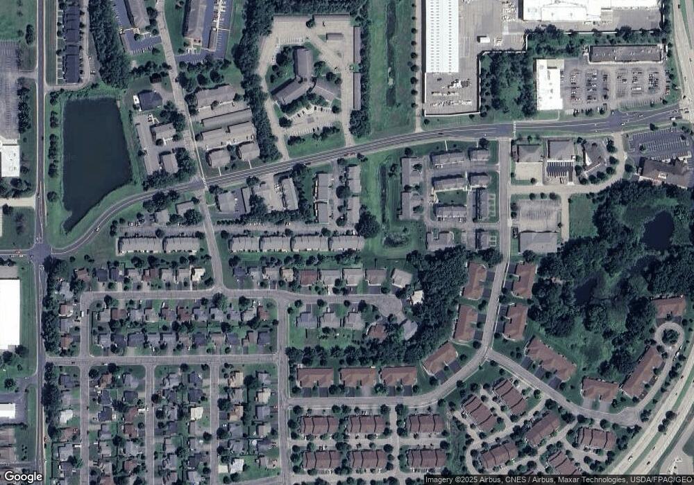
Map
Nearby Homes
- 1901 Stone Creek
- 1588 Southpoint Dr
- 1571 Southpoint Dr
- 2475 Sydney Ln
- 2356 Sydney Ln
- 2467 Sydney Ln
- 2348 Sydney Ln
- 2359 Sydney Ln
- 1501 Southpoint Dr
- 2233 Sharon Ln
- 1521 Southpoint Dr
- 2473 Sharon Ln
- 2461 Sharon Ln
- 2229 Sharon Ln
- 2225 Sharon Ln
- 2477 Sharon Ln
- 2341 Sharon Ln
- 2469 Sharon Ln
- 2306 Simply Living Ln
- 2313 Simply Living Ln Unit B
- 1817 Albert St
- 1820 Lillian Dr
- 1816 Lillian Dr
- 1813 Albert St
- 2148 Bieneman St
- 2146 Bieneman St
- 2201 Holly Curve
- 1812 Lillian Dr
- 2200 Salvia Ln
- 1900 Lillian Dr
- 1900 1900 Lillian-Drive-
- 2201 Salvia Ln
- 1809 Albert St
- 2203 Holly Curve
- 2202 Salvia Ln
- 1902 Lillian Dr
- 1808 Lillian Dr
- 2200 Foxglove Way
- 2203 Salvia Ln
- 2205 Holly Curve