Estimated Value: $208,754 - $245,000
3
Beds
2
Baths
1,320
Sq Ft
$167/Sq Ft
Est. Value
About This Home
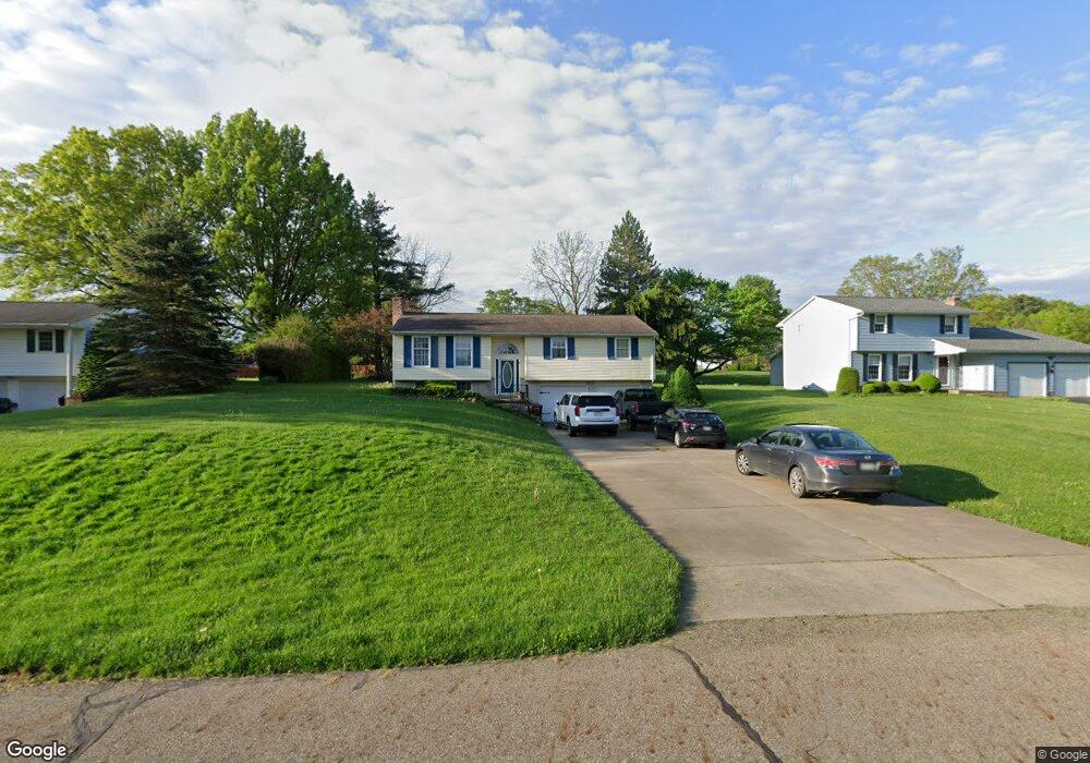
This home is located at 1821 Allen Dr, Salem, OH 44460 and is currently estimated at $220,939, approximately $167 per square foot. 1821 Allen Dr is a home located in Columbiana County with nearby schools including Reilly Elementary School, Buckeye Elementary School, and Southeast Elementary School.
Ownership History
Date
Name
Owned For
Owner Type
Purchase Details
Closed on
Nov 12, 1996
Sold by
Beall Robert C
Bought by
Snyder Delbert W and Snyder Virginia F
Current Estimated Value
Home Financials for this Owner
Home Financials are based on the most recent Mortgage that was taken out on this home.
Original Mortgage
$83,600
Outstanding Balance
$8,363
Interest Rate
8.26%
Mortgage Type
New Conventional
Estimated Equity
$212,576
Purchase Details
Closed on
Jan 18, 1990
Sold by
Snyder Delbert Wayne and Snyder Or
Bought by
Beall Robert C and Or Kimbe
Create a Home Valuation Report for This Property
The Home Valuation Report is an in-depth analysis detailing your home's value as well as a comparison with similar homes in the area
Home Values in the Area
Average Home Value in this Area
Purchase History
| Date | Buyer | Sale Price | Title Company |
|---|---|---|---|
| Snyder Delbert W | $88,000 | -- | |
| Beall Robert C | $68,000 | -- |
Source: Public Records
Mortgage History
| Date | Status | Borrower | Loan Amount |
|---|---|---|---|
| Open | Snyder Delbert W | $83,600 |
Source: Public Records
Tax History Compared to Growth
Tax History
| Year | Tax Paid | Tax Assessment Tax Assessment Total Assessment is a certain percentage of the fair market value that is determined by local assessors to be the total taxable value of land and additions on the property. | Land | Improvement |
|---|---|---|---|---|
| 2024 | $2,060 | $49,460 | $10,680 | $38,780 |
| 2023 | $2,065 | $49,460 | $10,680 | $38,780 |
| 2022 | $1,920 | $49,460 | $10,680 | $38,780 |
| 2021 | $1,745 | $41,760 | $10,710 | $31,050 |
| 2020 | $1,759 | $41,760 | $10,710 | $31,050 |
| 2019 | $1,758 | $41,760 | $10,710 | $31,050 |
| 2018 | $839 | $37,940 | $9,730 | $28,210 |
| 2017 | $1,677 | $37,940 | $9,730 | $28,210 |
| 2016 | $1,678 | $37,350 | $9,450 | $27,900 |
| 2015 | $1,678 | $37,350 | $9,450 | $27,900 |
| 2014 | $1,630 | $37,350 | $9,450 | $27,900 |
Source: Public Records
Map
Nearby Homes
- 523 Bethel Dr
- 501 Stewart Rd
- 1750 Allen Dr
- 312 W Pidgeon Rd
- 156 W Pidgeon Rd
- 935 W Pidgeon Rd
- 944 Jones Dr
- 1358 Andrew Ave
- 937 Liberty St
- 2503 Depot Rd
- 909 Somerset Dr Unit A
- 1180 Jones Dr
- 1357 Pembrooke Dr Unit D
- 1175 S Lincoln Ave
- 1918 S Lincoln Ave Unit 1
- 0 Homewood Place
- 1603 Chestnut Grove Rd
- 1026 Franklin Ave
- 1801 Cider Mill Rd
- 2775 Ohio 9