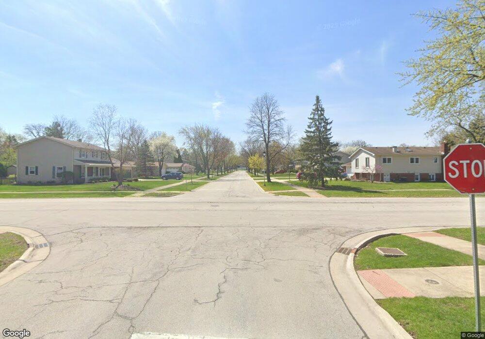
1821 Brentwood Ln E Unit 1 Wheaton, IL 60189
North Danada NeighborhoodEstimated Value: $518,000 - $650,000
4
Beds
4
Baths
2,721
Sq Ft
$214/Sq Ft
Est. Value
About This Home
This home is located at 1821 Brentwood Ln E Unit 1, Wheaton, IL 60189 and is currently estimated at $581,393, approximately $213 per square foot. 1821 Brentwood Ln E Unit 1 is a home located in DuPage County with nearby schools including Briar Glen Elementary School, Glen Crest Middle School, and Glenbard South High School.
Ownership History
Date
Name
Owned For
Owner Type
Purchase Details
Closed on
Feb 19, 2019
Sold by
Pipal Dwayne and Pipal Karen
Bought by
Pipal Family Trust
Current Estimated Value
Purchase Details
Closed on
Feb 24, 1995
Sold by
Johnson Randall D and Johnson Christine A
Bought by
Pipal Dwayne W and Pipal Karen F
Home Financials for this Owner
Home Financials are based on the most recent Mortgage that was taken out on this home.
Original Mortgage
$125,000
Interest Rate
6.89%
Create a Home Valuation Report for This Property
The Home Valuation Report is an in-depth analysis detailing your home's value as well as a comparison with similar homes in the area
Home Values in the Area
Average Home Value in this Area
Purchase History
| Date | Buyer | Sale Price | Title Company |
|---|---|---|---|
| Pipal Family Trust | -- | Attorney | |
| Pipal Dwayne W | $235,000 | -- |
Source: Public Records
Mortgage History
| Date | Status | Borrower | Loan Amount |
|---|---|---|---|
| Closed | Pipal Dwayne W | $125,000 |
Source: Public Records
Tax History Compared to Growth
Tax History
| Year | Tax Paid | Tax Assessment Tax Assessment Total Assessment is a certain percentage of the fair market value that is determined by local assessors to be the total taxable value of land and additions on the property. | Land | Improvement |
|---|---|---|---|---|
| 2024 | $11,892 | $173,422 | $32,396 | $141,026 |
| 2023 | $11,943 | $159,630 | $29,820 | $129,810 |
| 2022 | $11,407 | $150,850 | $28,180 | $122,670 |
| 2021 | $11,411 | $147,270 | $27,510 | $119,760 |
| 2020 | $11,522 | $145,890 | $27,250 | $118,640 |
| 2019 | $11,226 | $142,040 | $26,530 | $115,510 |
| 2018 | $11,073 | $138,570 | $28,540 | $110,030 |
| 2017 | $10,310 | $133,460 | $27,490 | $105,970 |
| 2016 | $10,158 | $128,130 | $26,390 | $101,740 |
| 2015 | $10,087 | $122,240 | $25,180 | $97,060 |
| 2014 | $9,290 | $111,400 | $23,680 | $87,720 |
| 2013 | $9,008 | $111,730 | $23,750 | $87,980 |
Source: Public Records
Map
Nearby Homes
- 1888 Cheshire Ln
- 23W234 Woodcroft Dr
- 1701 Lakecliffe Dr Unit D
- 1703 Lakecliffe Dr Unit A
- 23W160 Woodcroft Dr
- 2011 Lancaster Ln
- 2S651 Ashley Dr
- 1813 Knapp Ct
- 1694 Farragut Ct Unit A
- 1687 Williamsburg Ct Unit A
- 1678 Trowbridge Ct Unit D
- 3S078 Blackcherry Ln
- 275 Buena Vista Dr
- 1010 Heathrow Ct
- 1268 Edinburgh Ct
- 2254 Blacksmith Dr
- 386 Sandhurst Cir Unit 2
- 366 Pembroke Ln Unit 5
- 383 Sandhurst Cir Unit 4
- 305 S Lambert Rd
- 1845 Brentwood Ln E
- 1795 Brentwood Ln
- 1775 Brentwood Ln
- 1855 Brentwood Ln E
- 1865 Cheshire Ln
- 1844 Brentwood Ln E
- 1755 Brentwood Ln
- 1865 Brentwood Ln E
- 1879 Cheshire Ln
- 1876 Brentwood Ln E
- 1770 Brentwood Ln
- 1733 Brentwood Ln
- 1869 Brentwood Ln E
- 1885 Cheshire Ln
- 1875 Brentwood Ln E
- 1730 Brentwood Ln
- 1884 Brentwood Ln E
- 1709 Brentwood Ln
- 1881 Brentwood Ln E
- 1880 Cheshire Ln
