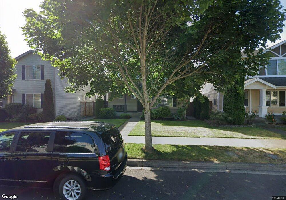
1821 Charles St Dupont, WA 98327
Estimated Value: $552,081 - $619,000
4
Beds
3
Baths
2,024
Sq Ft
$290/Sq Ft
Est. Value
About This Home
This home is located at 1821 Charles St, Dupont, WA 98327 and is currently estimated at $586,270, approximately $289 per square foot. 1821 Charles St is a home located in Pierce County with nearby schools including Chloe Clark Elementary School, Saltars Point Elementary School, and Pioneer Middle School.
Ownership History
Date
Name
Owned For
Owner Type
Purchase Details
Closed on
Jul 1, 2006
Sold by
The Quadrant Corp
Bought by
Erickson Christine
Current Estimated Value
Home Financials for this Owner
Home Financials are based on the most recent Mortgage that was taken out on this home.
Original Mortgage
$121,523
Outstanding Balance
$72,066
Interest Rate
6.63%
Mortgage Type
Purchase Money Mortgage
Estimated Equity
$514,204
Create a Home Valuation Report for This Property
The Home Valuation Report is an in-depth analysis detailing your home's value as well as a comparison with similar homes in the area
Home Values in the Area
Average Home Value in this Area
Purchase History
| Date | Buyer | Sale Price | Title Company |
|---|---|---|---|
| Erickson Christine | $286,910 | Chicago Title |
Source: Public Records
Mortgage History
| Date | Status | Borrower | Loan Amount |
|---|---|---|---|
| Open | Erickson Christine | $121,523 |
Source: Public Records
Tax History Compared to Growth
Tax History
| Year | Tax Paid | Tax Assessment Tax Assessment Total Assessment is a certain percentage of the fair market value that is determined by local assessors to be the total taxable value of land and additions on the property. | Land | Improvement |
|---|---|---|---|---|
| 2025 | $3,780 | $520,600 | $214,400 | $306,200 |
| 2024 | $3,780 | $496,300 | $206,600 | $289,700 |
| 2023 | $3,780 | $469,700 | $194,300 | $275,400 |
| 2022 | $3,764 | $478,500 | $194,300 | $284,200 |
| 2021 | $3,561 | $353,600 | $123,400 | $230,200 |
| 2019 | $3,185 | $321,900 | $102,900 | $219,000 |
| 2018 | $3,397 | $311,400 | $102,900 | $208,500 |
| 2017 | $3,048 | $291,000 | $87,700 | $203,300 |
| 2016 | $2,911 | $263,300 | $74,000 | $189,300 |
| 2014 | $2,786 | $258,600 | $74,000 | $184,600 |
| 2013 | $2,786 | $234,400 | $75,700 | $158,700 |
Source: Public Records
Map
Nearby Homes
- 2055 Garry Oaks Ave Unit B
- 1975 Garry Oaks Ave Unit C
- 2176 McDonald Ave
- 1856 Spencer Ct Unit 12F
- 2420 Simmons St Unit B
- 1607 Kincaid St Unit E-8
- 2237 Tolmie St
- 1680 Kennedy Place Unit A4
- 2176 Palisade Blvd Unit F-3
- 2147 Hammond Ave Unit B10
- 1373 Hudson St Unit 1373
- 1331 Rowan Ct Unit 1331
- 1285 Griggs St
- 1263 Hudson St
- 2699 Erwin Ave Unit 2699
- 605 Louviers Ave
- 504 Dupont Ave
- 403 Louviers Ave
- 3114 Walker Rd
- 205 Brandywine Ave
- 1833 Charles St
- 1813 Charles St
- 1845 Charles St
- 1857 Charles St
- 1816 Bobs Hollow Ln
- 1838 Bobs Hollow Ln
- 1846 Bobs Hollow Ln
- 1844 Charles St
- 1866 Charles St
- 1889 Charles St
- 1822 Charles St
- 1854 Bobs Hollow Ln
- 1874 Charles St
- 1866 Bobs Hollow Ln
- 1897 Charles St
- 1878 Bobs Hollow Ln
- 1886 Charles St
- 1892 Bobs Hollow Ln
- 1907 Charles St