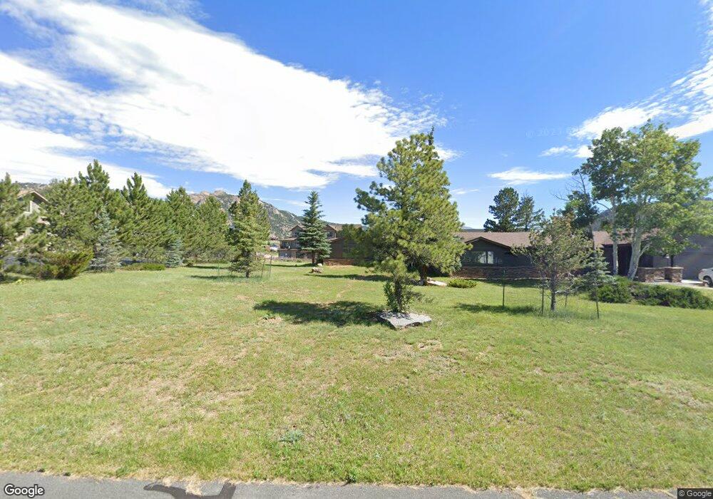
1821 High Pine Dr Estes Park, CO 80517
Estimated Value: $976,000 - $1,245,000
3
Beds
3
Baths
3,204
Sq Ft
$345/Sq Ft
Est. Value
About This Home
This home is located at 1821 High Pine Dr, Estes Park, CO 80517 and is currently estimated at $1,104,213, approximately $344 per square foot. 1821 High Pine Dr is a home located in Larimer County with nearby schools including Estes Park K-5 School, Estes Park Options School, and Estes Park Middle School.
Ownership History
Date
Name
Owned For
Owner Type
Purchase Details
Closed on
Oct 23, 2023
Sold by
Paxton Family Trust
Bought by
Pierce Donald E and Pierce Marilyn E
Current Estimated Value
Home Financials for this Owner
Home Financials are based on the most recent Mortgage that was taken out on this home.
Original Mortgage
$475,000
Interest Rate
7.18%
Mortgage Type
Credit Line Revolving
Purchase Details
Closed on
Jun 28, 2017
Sold by
Paxton Richard Pajda and Paxton Joyce Mary
Bought by
Paxton Richard Pajda and Paxton Joyce Mary
Home Financials for this Owner
Home Financials are based on the most recent Mortgage that was taken out on this home.
Original Mortgage
$954,225
Interest Rate
4.48%
Mortgage Type
Reverse Mortgage Home Equity Conversion Mortgage
Purchase Details
Closed on
Jun 20, 2016
Sold by
Paxton Richard P
Bought by
The Paxton Family Trust
Purchase Details
Closed on
Jan 8, 2010
Sold by
Rakestraw Sherrill L and Rakestr Bernice D
Bought by
Paxton Richard P
Home Financials for this Owner
Home Financials are based on the most recent Mortgage that was taken out on this home.
Original Mortgage
$284,000
Interest Rate
4.8%
Mortgage Type
New Conventional
Purchase Details
Closed on
Sep 12, 2006
Sold by
Rakestraw Sherrill L and Rakestraw Bernice D
Bought by
Rakestraw Sherrill L and Rakestr Bernice D
Purchase Details
Closed on
Mar 1, 1992
Sold by
Worthen Joan A
Bought by
Rakestraw Bernice D
Create a Home Valuation Report for This Property
The Home Valuation Report is an in-depth analysis detailing your home's value as well as a comparison with similar homes in the area
Home Values in the Area
Average Home Value in this Area
Purchase History
| Date | Buyer | Sale Price | Title Company |
|---|---|---|---|
| Pierce Donald E | $1,125,000 | None Listed On Document | |
| Paxton Richard Pajda | -- | Title Source Inc | |
| The Paxton Family Trust | -- | None Available | |
| Paxton Richard P | $355,000 | Security Title | |
| Rakestraw Sherrill L | -- | None Available | |
| Rakestraw Bernice D | $125,000 | -- |
Source: Public Records
Mortgage History
| Date | Status | Borrower | Loan Amount |
|---|---|---|---|
| Closed | Pierce Donald E | $475,000 | |
| Previous Owner | Paxton Richard Pajda | $954,225 | |
| Previous Owner | Paxton Richard P | $284,000 |
Source: Public Records
Tax History Compared to Growth
Tax History
| Year | Tax Paid | Tax Assessment Tax Assessment Total Assessment is a certain percentage of the fair market value that is determined by local assessors to be the total taxable value of land and additions on the property. | Land | Improvement |
|---|---|---|---|---|
| 2025 | $3,659 | $60,347 | $13,367 | $46,980 |
| 2024 | $3,597 | $60,347 | $13,367 | $46,980 |
| 2022 | $2,984 | $46,023 | $12,510 | $33,513 |
| 2021 | $3,064 | $47,347 | $12,870 | $34,477 |
| 2020 | $4,167 | $53,983 | $13,299 | $40,684 |
| 2019 | $4,253 | $55,413 | $13,299 | $42,114 |
| 2018 | $2,156 | $27,238 | $10,512 | $16,726 |
| 2017 | $2,168 | $27,238 | $10,512 | $16,726 |
| 2016 | $2,183 | $29,070 | $10,587 | $18,483 |
| 2015 | $2,205 | $29,070 | $10,590 | $18,480 |
| 2014 | $1,682 | $22,740 | $10,350 | $12,390 |
Source: Public Records
Map
Nearby Homes
- 1802 Wildfire Rd Unit 302
- 1790 Continental Peaks Cir
- 1780 Continental Peaks Cir
- 1770 Continental Peaks Cir
- 1760 Continental Peaks Cir
- 1734 Wildfire Rd Unit 204
- 1734 Wildfire Rd Unit 102
- 1700 Wildfire Rd Unit 201
- 1700 Wildfire Rd Unit 301
- 1700 Wildfire Rd Unit 302
- 1750 Continental Peaks Cir
- 1700 Continental Peaks Cir
- 880 Crabapple Ln
- 1707 Continental Peaks Cir
- 1705 Continental Peaks Cir
- 1728 Continental Peaks Cir
- 1690 Continental Peaks Cir
- 1701 Continental Peaks Cir
- 1724 Continental Peaks Cir
- 1722 Continental Peaks Cir
- 1802 Wildfire Rd Unit 203
- 1802 Wildfire Rd Unit 301
- 1802 Wildfire Rd Unit 202
- 1802 Wildfire Rd Unit 303
- 1802 Wildfire Rd Unit 204
- 1802 Wildfire Rd Unit 201
- 1802 Wildfire Rd Unit 304
- 1825 High Pine Dr
- 1759 High Pine Dr
- 1820 High Pine Dr
- 1760 High Pine Dr
- 1739 High Pine Dr
- 1860 N Ridge Ln
- 1740 High Pine Dr
- 1821 N Ridge Ln
- 1761 N Ridge Ln
- 1734 Wildfire Rd Unit 301
- 1734 Wildfire Rd Unit 202
- 1734 Wildfire Rd Unit 201
- 1734 Wildfire Rd Unit 101