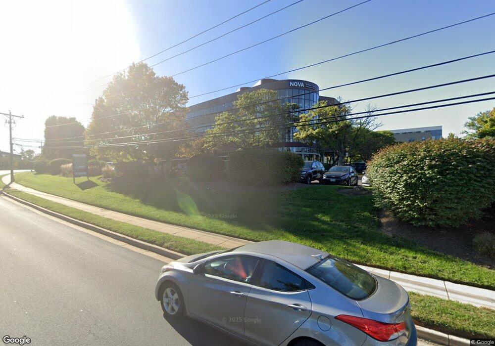
1821 Michael Faraday Dr Reston, VA 20190
Tall Oaks/Uplands NeighborhoodEstimated Value: $15,859,806
Studio
--
Bath
63,600
Sq Ft
$249/Sq Ft
Est. Value
About This Home
This home is located at 1821 Michael Faraday Dr, Reston, VA 20190 and is currently estimated at $15,859,806, approximately $249 per square foot. 1821 Michael Faraday Dr is a home located in Fairfax County with nearby schools including Sunrise Valley Elementary, Langston Hughes Middle School, and South Lakes High School.
Ownership History
Date
Name
Owned For
Owner Type
Purchase Details
Closed on
Nov 18, 2014
Sold by
Faraday Drivr Asoc Lp
Bought by
Jb 1821 Michael Faraday Llc
Current Estimated Value
Home Financials for this Owner
Home Financials are based on the most recent Mortgage that was taken out on this home.
Original Mortgage
$7,875,000
Outstanding Balance
$6,052,844
Interest Rate
4.17%
Mortgage Type
Construction
Estimated Equity
$9,806,962
Create a Home Valuation Report for This Property
The Home Valuation Report is an in-depth analysis detailing your home's value as well as a comparison with similar homes in the area
Home Values in the Area
Average Home Value in this Area
Purchase History
| Date | Buyer | Sale Price | Title Company |
|---|---|---|---|
| Jb 1821 Michael Faraday Llc | $10,500,000 | -- | |
| Jb 1821 Michael Faraday Llc | $10,500,000 | -- |
Source: Public Records
Mortgage History
| Date | Status | Borrower | Loan Amount |
|---|---|---|---|
| Open | Jb 1821 Michael Faraday Llc | $7,875,000 | |
| Closed | Jb 1821 Michael Faraday Llc | $7,875,000 |
Source: Public Records
Tax History
| Year | Tax Paid | Tax Assessment Tax Assessment Total Assessment is a certain percentage of the fair market value that is determined by local assessors to be the total taxable value of land and additions on the property. | Land | Improvement |
|---|---|---|---|---|
| 2025 | $182,069 | $11,818,040 | $2,416,800 | $9,401,240 |
| 2024 | $182,069 | $12,630,520 | $2,416,800 | $10,213,720 |
| 2023 | $182,234 | $12,910,630 | $2,734,800 | $10,175,830 |
| 2022 | $198,600 | $13,922,160 | $2,734,800 | $11,187,360 |
| 2021 | $203,465 | $13,969,420 | $2,734,800 | $11,234,620 |
| 2020 | $192,434 | $14,468,710 | $2,862,000 | $11,606,710 |
| 2019 | $214,312 | $14,417,210 | $3,180,000 | $11,237,210 |
| 2018 | $112,294 | $9,764,710 | $3,180,000 | $6,584,710 |
| 2017 | $142,705 | $9,622,750 | $3,180,000 | $6,442,750 |
| 2016 | $136,312 | $9,084,420 | $1,462,800 | $7,621,620 |
Source: Public Records
Map
Nearby Homes
- 11200 Reston Station Blvd Unit 208
- 11236 Faraday Park Dr
- 1820 Reston Row Plaza Unit 1604
- 11212 Chestnut Grove Square Unit 115
- 11228 Chestnut Grove Square Unit 132
- 11321 Headlands Ct
- 11260 Chestnut Grove Square Unit 139
- 11334 Headlands Ct
- 1926 Lakeport Way
- 11252 Chestnut Grove Square Unit 26
- 2006 Headlands Cir
- 2009 Headlands Cir
- 1934 Winterport Cluster
- 1944 Lakeport Way
- 1953 Lakeport Way
- 10900 Sunset Hills Rd
- 10904 Equestrian Ct
- 11310 Harborside Cluster
- 1661 Parkcrest Cir Unit 5A/300
- 1659 Parkcrest Cir Unit C
- 1821 Michael Faraday Dr Unit 101
- 1821 Michael Faraday Dr Unit 400
- 1821 Michael Faraday Dr Unit 301
- 1821 Michael Faraday Dr Unit 204
- 1821 Michael Faraday Dr Unit 202
- 1810 Samuel Morse Dr
- 1810 Samuel Morse Dr Unit 202
- 1810 Samuel Morse Dr Unit 1ST FLOOR
- 1810 Samuel Morse Dr Unit 200
- 11160 Sunset Hills Rd
- 1830 Michael Faraday Dr
- 1859 Michael Faraday Dr Unit 8
- 1871 Michael Faraday Dr Unit 2
- 1853 Michael Faraday Dr Unit 302
- 1853 Michael Faraday Dr Unit 204
- 1853 Michael Faraday Dr Unit 202
- 1853 Michael Faraday Dr Unit 205
- 1853 Michael Faraday Dr Unit 331
- 1853 Michael Faraday Dr Unit 203
- 1853 Michael Faraday Dr Unit 201
Your Personal Tour Guide
Ask me questions while you tour the home.