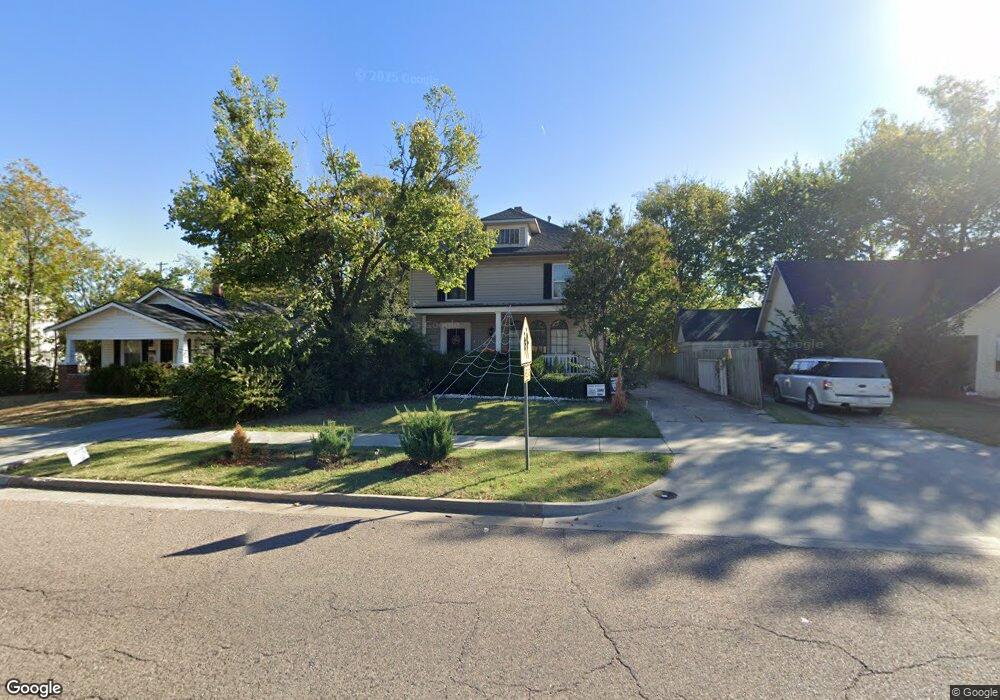
1821 N Bdwy Ave Shawnee, OK 74804
Estimated Value: $197,005 - $244,000
3
Beds
2
Baths
2,038
Sq Ft
$110/Sq Ft
Est. Value
About This Home
This home is located at 1821 N Bdwy Ave, Shawnee, OK 74804 and is currently estimated at $224,001, approximately $109 per square foot. 1821 N Bdwy Ave is a home with nearby schools including Will Rogers Elementary School, Shawnee Middle School, and Shawnee High School.
Ownership History
Date
Name
Owned For
Owner Type
Purchase Details
Closed on
Aug 14, 2015
Sold by
Short Merrily and Short Timothy Doyle
Bought by
Frazier Anthony
Current Estimated Value
Home Financials for this Owner
Home Financials are based on the most recent Mortgage that was taken out on this home.
Original Mortgage
$147,250
Outstanding Balance
$116,164
Interest Rate
4.12%
Mortgage Type
New Conventional
Estimated Equity
$107,837
Purchase Details
Closed on
Feb 11, 1994
Sold by
Lackey Lyn and Lackey Scott
Bought by
Lackey Scott and Lackey Lyn
Create a Home Valuation Report for This Property
The Home Valuation Report is an in-depth analysis detailing your home's value as well as a comparison with similar homes in the area
Home Values in the Area
Average Home Value in this Area
Purchase History
| Date | Buyer | Sale Price | Title Company |
|---|---|---|---|
| Frazier Anthony | $155,000 | First American Title | |
| Lackey Scott | -- | -- |
Source: Public Records
Mortgage History
| Date | Status | Borrower | Loan Amount |
|---|---|---|---|
| Open | Frazier Anthony | $147,250 |
Source: Public Records
Tax History Compared to Growth
Tax History
| Year | Tax Paid | Tax Assessment Tax Assessment Total Assessment is a certain percentage of the fair market value that is determined by local assessors to be the total taxable value of land and additions on the property. | Land | Improvement |
|---|---|---|---|---|
| 2024 | $1,366 | $14,499 | $564 | $13,935 |
| 2023 | $1,366 | $14,077 | $540 | $13,537 |
| 2022 | $1,342 | $14,077 | $540 | $13,537 |
| 2021 | $1,318 | $14,077 | $540 | $13,537 |
| 2020 | $1,367 | $14,526 | $540 | $13,986 |
| 2019 | $1,459 | $14,975 | $540 | $14,435 |
| 2018 | $1,443 | $15,105 | $540 | $14,565 |
| 2017 | $1,443 | $15,295 | $480 | $14,815 |
| 2016 | $1,796 | $18,600 | $480 | $18,120 |
| 2015 | $876 | $8,758 | $480 | $8,278 |
| 2014 | $847 | $8,468 | $480 | $7,988 |
Source: Public Records
Map
Nearby Homes
- 1817 N Bell Ave
- 1816 N Bell Ave
- 1901 N Bell Ave
- 2021 N Broadway Ave
- 1822 N Phil Ave
- 1925 N Park Ave
- 1607 N Beard Ave
- 1602 N Bdwy
- 1710 N Park Ave
- 1510 N Union Ave
- 401 E Federal St
- 202 W Franklin St
- 10 W Midland St
- 1712 N Pennsylvania Ave
- 1324 N Park Ave
- 0 Independence and Minnesota St
- 1217 N Market Ave
- 108 E Pulaski St
- 2001 N Mckinley Ave
- 2415 N Minnesota Cir
- 1825 N Bdwy
- 1819 N Bdwy
- 1829 N Broadway Ave
- 1829 N Bdwy Ave
- 1817 N Broadway Ave
- 1815 N Bdwy
- 1822 N Broadway Ave
- 1811 N Broadway Ave
- 1830 N Broadway Ave
- 1819 N Beard St
- 1812 N Bdwy
- 1821 N Bell Ave
- 24 E Emmett St
- 1901 N Bdwy Ave
- 1811 N Beard St
- 1811 N Beard Ave
- 1821 N Broadway Ave
- 1812 N Bell Ave
- 1833 N Beard St
- 1921 N Broadway Ave