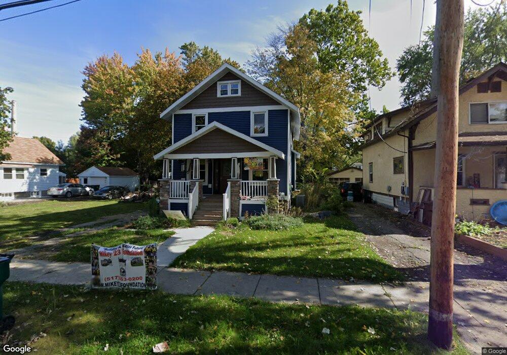
1821 S Rundle Ave Lansing, MI 48910
Moores Park NeighborhoodEstimated Value: $40,173 - $168,000
3
Beds
1
Bath
2,532
Sq Ft
$46/Sq Ft
Est. Value
About This Home
This home is located at 1821 S Rundle Ave, Lansing, MI 48910 and is currently estimated at $117,293, approximately $46 per square foot. 1821 S Rundle Ave is a home located in Ingham County with nearby schools including Averill Elementary School, Pattengill Academy, and J.W. Sexton High School.
Ownership History
Date
Name
Owned For
Owner Type
Purchase Details
Closed on
Jun 30, 2021
Sold by
Ingham Cnty Land Bk Fast Track Authority
Bought by
Mikey 23 Foundation
Current Estimated Value
Purchase Details
Closed on
May 18, 2021
Sold by
Crenshaw Bryan
Bought by
Ingham Cnty Land Bk Fast Tract Authority
Purchase Details
Closed on
May 10, 2021
Sold by
Ingham County Treasurer
Bought by
County Of Ingham
Purchase Details
Closed on
Apr 12, 2001
Sold by
Rasmussen Bruce Scott and Rasmussen Deborah Jean
Bought by
Ocwen Federal Bank Fsb and Berkeley Federal Bank & Trust Fsb
Purchase Details
Closed on
Mar 2, 2001
Sold by
Rasmussen Bruce Scott
Bought by
Rasmussen Deborah Jean Holey
Create a Home Valuation Report for This Property
The Home Valuation Report is an in-depth analysis detailing your home's value as well as a comparison with similar homes in the area
Home Values in the Area
Average Home Value in this Area
Purchase History
| Date | Buyer | Sale Price | Title Company |
|---|---|---|---|
| Mikey 23 Foundation | $7,500 | None Available | |
| Ingham Cnty Land Bk Fast Tract Authority | -- | None Available | |
| County Of Ingham | -- | None Available | |
| Ocwen Federal Bank Fsb | $47,011 | -- | |
| Rasmussen Deborah Jean Holey | -- | -- |
Source: Public Records
Tax History Compared to Growth
Tax History
| Year | Tax Paid | Tax Assessment Tax Assessment Total Assessment is a certain percentage of the fair market value that is determined by local assessors to be the total taxable value of land and additions on the property. | Land | Improvement |
|---|---|---|---|---|
| 2025 | $125 | $0 | $0 | $0 |
| 2024 | $122 | $0 | $0 | $0 |
| 2023 | $122 | $0 | $0 | $0 |
| 2022 | $3,058 | $44,300 | $8,300 | $36,000 |
| 2021 | $117 | $0 | $0 | $0 |
| 2020 | $115 | $0 | $0 | $0 |
| 2019 | $2,463 | $37,400 | $7,800 | $29,600 |
| 2018 | $2,324 | $33,000 | $7,800 | $25,200 |
| 2017 | $1,706 | $33,000 | $7,800 | $25,200 |
| 2016 | $2,956 | $30,100 | $7,800 | $22,300 |
| 2015 | $2,956 | $29,000 | $15,698 | $13,302 |
| 2014 | $2,956 | $28,600 | $18,668 | $9,932 |
Source: Public Records
Map
Nearby Homes
- 712 Lenore Ave
- 1913 Stirling Ave
- 1708 Beal Ave
- 907 Lenore Ave
- 917 W Barnes Ave
- 1836 Osband Ave
- 1721 Fletcher St
- 1010 W Barnes Ave
- 1723 Osband Ave
- 2112 Stirling Ave
- 1114 Goodrich St
- 511 W Mount Hope Ave
- 2011 Osband Ave
- 1116 George St
- 2313 S Rundle Ave
- 2310 Stirling Ave
- 815 Woodbine Ave
- 1312 W Mount Hope Ave
- 1315 Goodrich St
- 2421 Stirling Ave
- 1825 S Rundle Ave
- 1817 S Rundle Ave
- 1813 S Rundle Ave
- 1829 S Rundle Ave
- 1833 S Rundle Ave
- 1816 Beal Ave
- 1820 Beal Ave
- 1812 Beal Ave
- 1837 S Rundle Ave
- 721 Smith Ave
- 727 Smith Ave
- 711 Smith Ave
- 1824 Beal Ave
- 717 Smith Ave
- 1820 S Rundle Ave
- 1828 Beal Ave
- 1816 S Rundle Ave
- 1808 Beal Ave
- 1841 S Rundle Ave
- 1828 S Rundle Ave