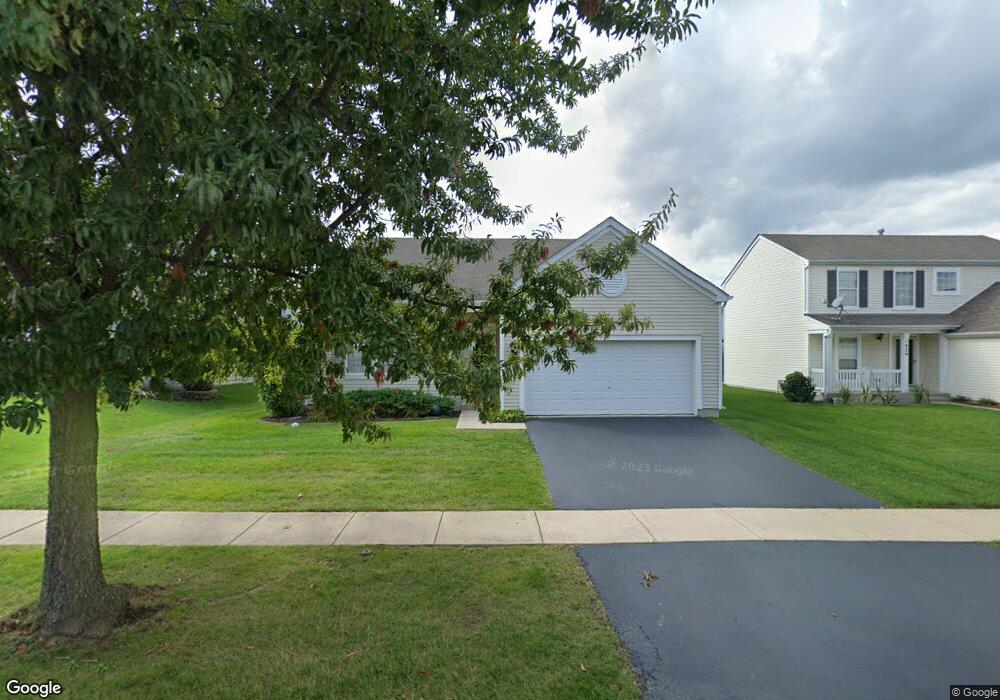
1821 Sebastian Dr Woodstock, IL 60098
Estimated Value: $247,116 - $337,000
--
Bed
--
Bath
1,484
Sq Ft
$204/Sq Ft
Est. Value
About This Home
This home is located at 1821 Sebastian Dr, Woodstock, IL 60098 and is currently estimated at $303,029, approximately $204 per square foot. 1821 Sebastian Dr is a home located in McHenry County with nearby schools including Mary Endres Elementary School, Northwood Middle School, and Woodstock North High School.
Ownership History
Date
Name
Owned For
Owner Type
Purchase Details
Closed on
Jul 5, 2016
Sold by
Crawford Betty A
Bought by
Crawford Betty Ann
Current Estimated Value
Purchase Details
Closed on
Sep 1, 2006
Sold by
Centex Homes
Bought by
Crawford Betty A
Home Financials for this Owner
Home Financials are based on the most recent Mortgage that was taken out on this home.
Original Mortgage
$43,925
Interest Rate
6.49%
Mortgage Type
Purchase Money Mortgage
Create a Home Valuation Report for This Property
The Home Valuation Report is an in-depth analysis detailing your home's value as well as a comparison with similar homes in the area
Home Values in the Area
Average Home Value in this Area
Purchase History
| Date | Buyer | Sale Price | Title Company |
|---|---|---|---|
| Crawford Betty Ann | -- | None Available | |
| Crawford Betty A | $218,925 | None Available |
Source: Public Records
Mortgage History
| Date | Status | Borrower | Loan Amount |
|---|---|---|---|
| Previous Owner | Crawford Betty A | $43,925 |
Source: Public Records
Tax History Compared to Growth
Tax History
| Year | Tax Paid | Tax Assessment Tax Assessment Total Assessment is a certain percentage of the fair market value that is determined by local assessors to be the total taxable value of land and additions on the property. | Land | Improvement |
|---|---|---|---|---|
| 2024 | $1,935 | $84,417 | $23,776 | $60,641 |
| 2023 | $2,056 | $77,199 | $21,743 | $55,456 |
| 2022 | $2,693 | $69,154 | $19,534 | $49,620 |
| 2021 | $2,759 | $64,342 | $18,175 | $46,167 |
| 2020 | $2,810 | $61,005 | $17,232 | $43,773 |
| 2019 | $2,878 | $57,438 | $16,224 | $41,214 |
| 2018 | $2,926 | $53,887 | $15,221 | $38,666 |
| 2017 | $3,074 | $50,574 | $14,285 | $36,289 |
| 2016 | $3,313 | $47,479 | $13,411 | $34,068 |
| 2013 | -- | $37,934 | $13,287 | $24,647 |
Source: Public Records
Map
Nearby Homes
- 1819 Woodside Dr
- 1721 Yasgur Dr
- 1808 Powers Rd
- 908 Hickory Rd
- 1401 Rhett Place
- 905 Hickory Rd
- 1530 Hickory Rd Unit A
- 214 Raffel Rd
- 603 Handel Ln
- 109 Raffel Rd
- 105 Terry Ct
- 2801 Haydn St
- 871 Hickman Ln
- 1626 Wheeler St
- 244 Joseph St
- 709 Mchenry Ave
- 935 Marvel Ave
- 1546 Wheeler St
- 631 Mchenry Ave
- Block 153 Joseph St
- 1813 Sebastian Dr
- 1829 Sebastian Dr
- 1822 Roger Rd
- 1814 Roger Rd
- 1805 Sebastian Dr L# 38
- 1830 Roger Rd
- 1837 Sebastian Dr
- 1805 Sebastian Dr
- 1812 Sebastian Dr
- 1828 Sebastian Dr
- 1806 Roger Rd
- 1838 Roger Rd
- 1836 Sebastian Dr
- 1845 Sebastian Dr
- 1804 Sebastian Dr
- 1844 Sebastian Dr
- 1846 Roger Rd
- 1811 Woodside Dr
- 1781 Sebastian Rd
- 1853 Sebastian Dr