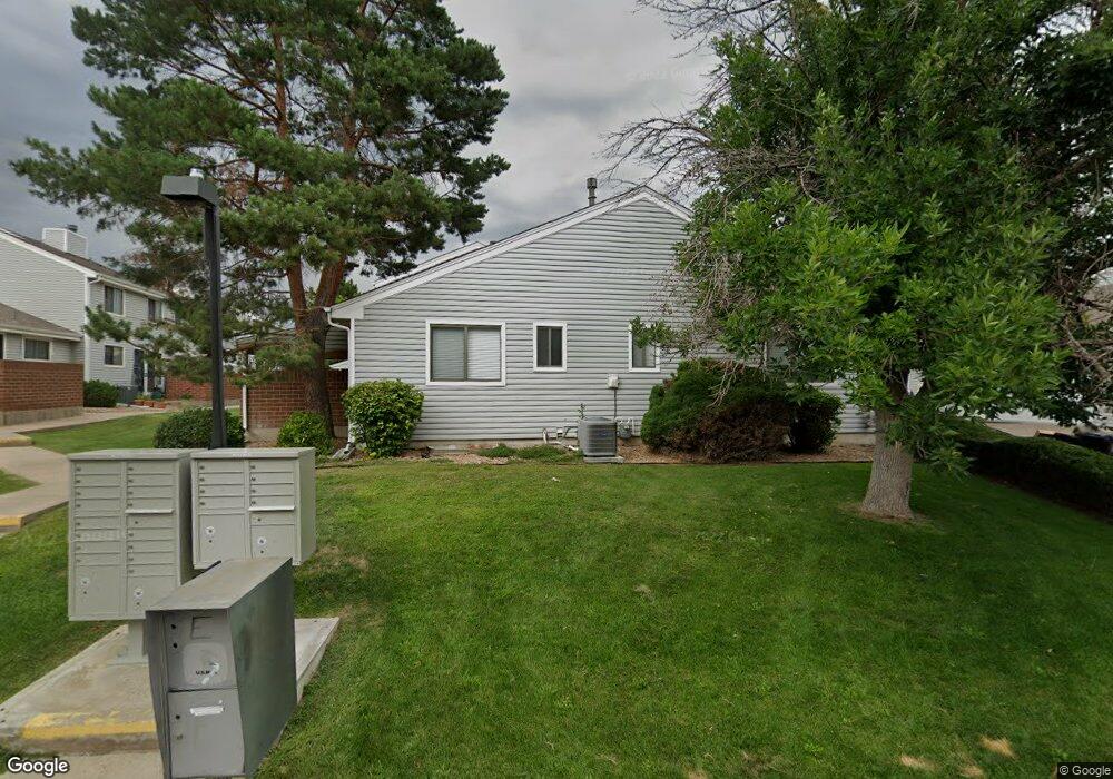
1821 W 102nd Ave Thornton, CO 80260
Estimated Value: $346,613 - $363,000
2
Beds
2
Baths
2,240
Sq Ft
$158/Sq Ft
Est. Value
About This Home
This home is located at 1821 W 102nd Ave, Thornton, CO 80260 and is currently estimated at $353,153, approximately $157 per square foot. 1821 W 102nd Ave is a home located in Adams County with nearby schools including Hillcrest Elementary School, Silver Hills Middle School, and Northglenn High School.
Ownership History
Date
Name
Owned For
Owner Type
Purchase Details
Closed on
Sep 26, 2017
Sold by
Musk Jenne E
Bought by
Meyers Michael A
Current Estimated Value
Purchase Details
Closed on
Sep 19, 2017
Sold by
The Grande Trust
Bought by
Musk Jennie E
Purchase Details
Closed on
Sep 18, 2017
Sold by
Jennie E Musk Trust
Bought by
Grande Trust
Purchase Details
Closed on
Sep 16, 2017
Sold by
Musk Jennie E and Musk Franklin J
Bought by
Grande Trust
Purchase Details
Closed on
Jun 22, 2012
Sold by
Musk Jennie E
Bought by
The Grande Trust
Purchase Details
Closed on
Oct 10, 2000
Sold by
Musk Jennie E
Bought by
Musk Jennie E
Purchase Details
Closed on
Jul 28, 1997
Sold by
Stout Ovella
Bought by
Musk Jennie E
Create a Home Valuation Report for This Property
The Home Valuation Report is an in-depth analysis detailing your home's value as well as a comparison with similar homes in the area
Home Values in the Area
Average Home Value in this Area
Purchase History
| Date | Buyer | Sale Price | Title Company |
|---|---|---|---|
| Meyers Michael A | $230,000 | Land Title Guarantee Co | |
| Musk Jennie E | -- | Land Title Guarantee Co | |
| Grande Trust | -- | Land Title Guarantee Co | |
| Grande Trust | -- | Land Title Guarantee Co | |
| The Grande Trust | -- | None Available | |
| Musk Jennie E | -- | -- | |
| Musk Jennie E | $113,000 | -- |
Source: Public Records
Tax History Compared to Growth
Tax History
| Year | Tax Paid | Tax Assessment Tax Assessment Total Assessment is a certain percentage of the fair market value that is determined by local assessors to be the total taxable value of land and additions on the property. | Land | Improvement |
|---|---|---|---|---|
| 2024 | $2,416 | $22,620 | $4,560 | $18,060 |
| 2023 | $2,393 | $25,980 | $3,520 | $22,460 |
| 2022 | $2,232 | $19,360 | $3,610 | $15,750 |
| 2021 | $2,306 | $19,360 | $3,610 | $15,750 |
| 2020 | $2,150 | $18,430 | $3,720 | $14,710 |
| 2019 | $2,154 | $18,430 | $3,720 | $14,710 |
| 2018 | $1,752 | $14,540 | $1,440 | $13,100 |
| 2017 | $805 | $14,540 | $1,440 | $13,100 |
| 2016 | $697 | $12,370 | $1,590 | $10,780 |
| 2015 | $698 | $6,190 | $800 | $5,390 |
| 2014 | -- | $4,550 | $800 | $3,750 |
Source: Public Records
Map
Nearby Homes
- 10143 Quivas St
- 1935 W 102nd Ave
- 10204 Quivas St
- 1945 W 102nd Ave
- 1923 W 101st Ave
- 2025 W 102nd Ave
- 2029 W 102nd Ave
- 2012 W 101st Ave
- 10116 Quivas St
- 2123 W 101st Cir
- 10023 Pecos St
- 2100 W 100th Ave Unit 351
- 2100 W 100th Ave
- 2100 W 100th Ave Unit 124
- 2100 W 100th Ave Unit 347
- 2100 W 100th Ave Unit 357
- 2100 W 100th Ave Unit 73
- 2100 W 100th Ave Unit 94
- 2100 W 100th Ave Unit 59
- 2100 W 100th Ave Unit 166
- 1819 W 102nd Ave
- 1817 W 102nd Ave
- 1815 W 102nd Ave
- 1803 W 102nd Ave
- 1801 W 102nd Ave
- 1823 W 102nd Ave
- 1805 W 102nd Ave
- 1825 W 102nd Ave
- 1807 W 102nd Ave
- 1827 W 102nd Ave
- 1829 W 102nd Ave
- 1813 W 102nd Ave
- 1806 W 102nd Ave
- 1804 W 102nd Ave
- 1841 W 102nd Ave
- 1811 W 102nd Ave
- 1839 W 102nd Ave
- 1743 W 102nd Ave
- 1831 W 102nd Ave
- 1808 W 102nd Ave