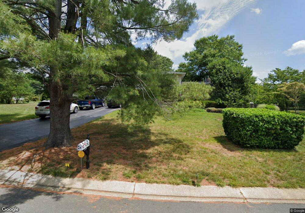
1821 Woodrail Dr Millersville, MD 21108
Estimated Value: $549,667 - $712,000
--
Bed
3
Baths
2,068
Sq Ft
$301/Sq Ft
Est. Value
About This Home
This home is located at 1821 Woodrail Dr, Millersville, MD 21108 and is currently estimated at $621,667, approximately $300 per square foot. 1821 Woodrail Dr is a home located in Anne Arundel County with nearby schools including Millersville Elementary School, Old Mill High School, and Guidepost Montessori at Gambrills.
Ownership History
Date
Name
Owned For
Owner Type
Purchase Details
Closed on
Oct 28, 2013
Sold by
Gerolstein William and Gerolstein Pamela
Bought by
Gerolstein William John and Gerolstein Pamela Jean
Current Estimated Value
Purchase Details
Closed on
Sep 5, 1990
Sold by
Saghirian Lee P
Bought by
Gerolstein William and Gerolstein Pamela
Home Financials for this Owner
Home Financials are based on the most recent Mortgage that was taken out on this home.
Original Mortgage
$175,000
Interest Rate
10.24%
Create a Home Valuation Report for This Property
The Home Valuation Report is an in-depth analysis detailing your home's value as well as a comparison with similar homes in the area
Home Values in the Area
Average Home Value in this Area
Purchase History
| Date | Buyer | Sale Price | Title Company |
|---|---|---|---|
| Gerolstein William John | -- | None Available | |
| Gerolstein William | $210,000 | -- |
Source: Public Records
Mortgage History
| Date | Status | Borrower | Loan Amount |
|---|---|---|---|
| Closed | Gerolstein William | $175,000 |
Source: Public Records
Tax History Compared to Growth
Tax History
| Year | Tax Paid | Tax Assessment Tax Assessment Total Assessment is a certain percentage of the fair market value that is determined by local assessors to be the total taxable value of land and additions on the property. | Land | Improvement |
|---|---|---|---|---|
| 2025 | $4,623 | $514,300 | $250,500 | $263,800 |
| 2024 | $4,623 | $492,567 | $0 | $0 |
| 2023 | $4,491 | $470,833 | $0 | $0 |
| 2022 | $4,194 | $449,100 | $240,500 | $208,600 |
| 2021 | $8,243 | $440,300 | $0 | $0 |
| 2020 | $4,011 | $431,500 | $0 | $0 |
| 2019 | $3,944 | $422,700 | $200,500 | $222,200 |
| 2018 | $4,062 | $400,633 | $0 | $0 |
| 2017 | $3,685 | $378,567 | $0 | $0 |
| 2016 | -- | $356,500 | $0 | $0 |
| 2015 | -- | $356,500 | $0 | $0 |
| 2014 | -- | $356,500 | $0 | $0 |
Source: Public Records
Map
Nearby Homes
- 1759 Daisey Ct
- 1270 Dorothy Rd
- 30 Highland Dr
- 605, 607 Crain Hwy N
- 1400 Lower View Ct
- 1458 Wilderness Ridge Trail
- 1508 Cornerstone Ct
- 397 Charles Hall Dr
- 1160 Saint Stephens Church Rd
- 2425 MacAllister Ln
- 1080 Generals Hwy
- 1404 Cotton Ct
- 902 Gunnison Ct
- 1220 Indian Landing Rd
- 1007 Carbondale Way
- 820 Annapolis Rd
- 1405 Wigeon Way Unit 206
- 2305 Nantucket Dr
- 1610 Hog Farm Rd
- 2359 Putnam Ln
- 1819 Woodrail Dr
- 1823 Woodrail Dr
- 1830 Woodrail Dr
- 1828 Woodrail Dr
- 1826 Woodrail Dr
- 1817 Woodrail Dr
- 1186 Heron Ct
- 1824 Woodrail Dr
- 1834 Woodrail Dr
- 1815 Woodrail Dr
- 1802 Hornbill Ct
- 1822 Woodrail Dr
- 1185 Thrush Ln
- 1184 Heron Ct
- 1187 Tanager Dr
- 1803 Hornbill Ct
- 1185 Tanager Dr
- 1820 Woodrail Dr
- 1183 Tanager Dr
- 1800 Hornbill Ct