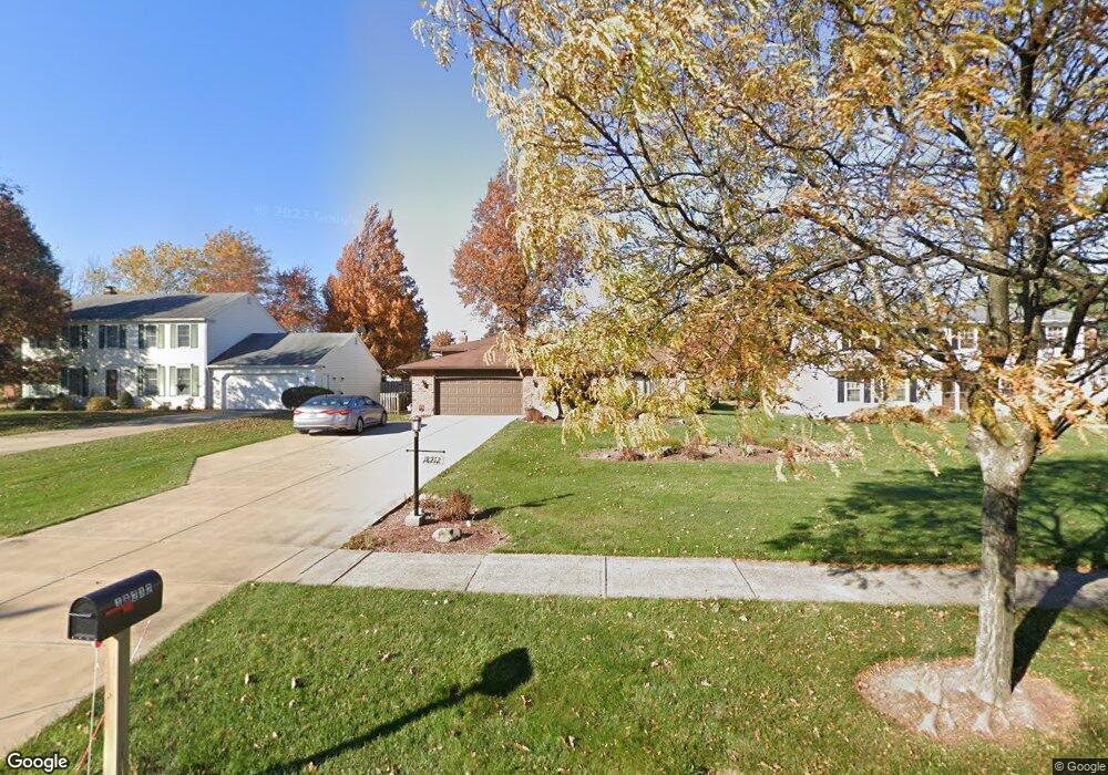
18212 Howe Rd Strongsville, OH 44136
Estimated Value: $344,303 - $391,000
3
Beds
3
Baths
2,242
Sq Ft
$167/Sq Ft
Est. Value
About This Home
This home is located at 18212 Howe Rd, Strongsville, OH 44136 and is currently estimated at $374,826, approximately $167 per square foot. 18212 Howe Rd is a home located in Cuyahoga County with nearby schools including Strongsville High School and Sts Joseph & John Interparochial School.
Ownership History
Date
Name
Owned For
Owner Type
Purchase Details
Closed on
Dec 3, 1992
Sold by
Zaccagnini Jeffry J
Bought by
Murin Linda J and Murin David
Current Estimated Value
Purchase Details
Closed on
Dec 22, 1988
Sold by
Zaccagnini Mario J
Bought by
Zaccagnini Jeffry J
Purchase Details
Closed on
Jul 20, 1987
Sold by
Reed Randall D
Bought by
Zaccagnini Mario J
Purchase Details
Closed on
Oct 31, 1983
Bought by
Reed Randall D
Purchase Details
Closed on
Oct 15, 1980
Sold by
Matisak Philip J
Bought by
Zyga Ihor J
Purchase Details
Closed on
Feb 1, 1978
Bought by
Matisak Philip J
Purchase Details
Closed on
Jan 1, 1977
Bought by
Kenwood Homes Inc
Create a Home Valuation Report for This Property
The Home Valuation Report is an in-depth analysis detailing your home's value as well as a comparison with similar homes in the area
Home Values in the Area
Average Home Value in this Area
Purchase History
| Date | Buyer | Sale Price | Title Company |
|---|---|---|---|
| Murin Linda J | $131,000 | -- | |
| Zaccagnini Jeffry J | $95,000 | -- | |
| Zaccagnini Mario J | $95,000 | -- | |
| Reed Randall D | $82,500 | -- | |
| Equitable Relocation | -- | -- | |
| Zyga Ihor J | $85,000 | -- | |
| Matisak Philip J | $68,900 | -- | |
| Kenwood Homes Inc | -- | -- |
Source: Public Records
Tax History Compared to Growth
Tax History
| Year | Tax Paid | Tax Assessment Tax Assessment Total Assessment is a certain percentage of the fair market value that is determined by local assessors to be the total taxable value of land and additions on the property. | Land | Improvement |
|---|---|---|---|---|
| 2024 | $4,649 | $99,015 | $17,605 | $81,410 |
| 2023 | $4,798 | $76,620 | $21,180 | $55,440 |
| 2022 | $4,763 | $76,620 | $21,180 | $55,440 |
| 2021 | $4,725 | $76,620 | $21,180 | $55,440 |
| 2020 | $4,377 | $62,790 | $17,360 | $45,430 |
| 2019 | $4,249 | $179,400 | $49,600 | $129,800 |
| 2018 | $3,784 | $62,790 | $17,360 | $45,430 |
| 2017 | $3,781 | $56,990 | $13,760 | $43,230 |
| 2016 | $3,750 | $56,990 | $13,760 | $43,230 |
| 2015 | $3,803 | $56,990 | $13,760 | $43,230 |
| 2014 | $3,803 | $56,990 | $13,760 | $43,230 |
Source: Public Records
Map
Nearby Homes
- 18229 Howe Rd
- 17130 Golden Star Dr
- 16486 S Red Rock Dr
- 16711 Beech Cir
- 17159 Turkey Meadow Ln
- 14985 Camden Cir
- 16650 Lanier Ave
- 18987 Laurell Cir
- 19694 Benbow Rd
- 14558 Drake Rd
- 15772 Boston Rd
- 15604-REAR Boston Rd
- 16450 Howe Rd
- 19740 Benbow Rd
- 17682 Drake Rd
- 15188 Trails Landing
- 16969 Antler Ln
- 14132 Walking Stick Way
- 17745 Brick Mill Run
- 14292 Trenton Ave
- 18178 Howe Rd
- 18246 Howe Rd
- 18144 Howe Rd
- 18280 Howe Rd
- 18201 Fern Canyon Dr
- 18235 Fern Canyon Dr
- 18159 Fern Canyon Dr
- 18273 Fern Canyon Dr
- 18110 Howe Rd
- 18314 Howe Rd
- 18133 Fern Canyon Dr
- 18315 Fern Canyon Dr
- 18076 Howe Rd
- 18348 Howe Rd
- 18101 Fern Canyon Dr
- 18182 Fern Canyon Dr
- 18224 Fern Canyon Dr
- 18042 Howe Rd
- 18382 Howe Rd
- 18337 Fern Canyon Dr