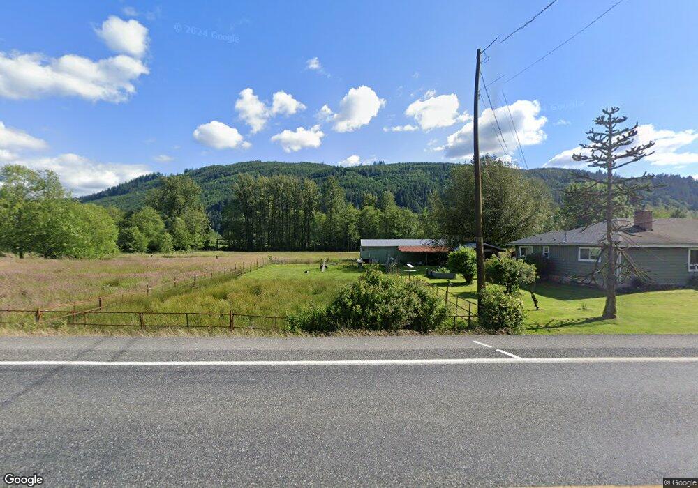
18214 State Route 530 NE Arlington, WA 98223
Estimated Value: $457,586 - $1,108,000
3
Beds
1
Bath
1,406
Sq Ft
$492/Sq Ft
Est. Value
About This Home
This home is located at 18214 State Route 530 NE, Arlington, WA 98223 and is currently estimated at $692,147, approximately $492 per square foot. 18214 State Route 530 NE is a home located in Snohomish County with nearby schools including Eagle Creek Elementary School, Post Middle School, and Arlington High School.
Ownership History
Date
Name
Owned For
Owner Type
Purchase Details
Closed on
May 19, 2022
Sold by
Lane Eugene E
Bought by
Lane Eugene E and Baur Ann
Current Estimated Value
Home Financials for this Owner
Home Financials are based on the most recent Mortgage that was taken out on this home.
Original Mortgage
$165,000
Outstanding Balance
$156,390
Interest Rate
5%
Mortgage Type
New Conventional
Estimated Equity
$535,757
Create a Home Valuation Report for This Property
The Home Valuation Report is an in-depth analysis detailing your home's value as well as a comparison with similar homes in the area
Home Values in the Area
Average Home Value in this Area
Purchase History
| Date | Buyer | Sale Price | Title Company |
|---|---|---|---|
| Lane Eugene E | -- | Chicago Title |
Source: Public Records
Mortgage History
| Date | Status | Borrower | Loan Amount |
|---|---|---|---|
| Open | Lane Eugene E | $165,000 |
Source: Public Records
Tax History Compared to Growth
Tax History
| Year | Tax Paid | Tax Assessment Tax Assessment Total Assessment is a certain percentage of the fair market value that is determined by local assessors to be the total taxable value of land and additions on the property. | Land | Improvement |
|---|---|---|---|---|
| 2025 | $2,705 | $385,400 | $246,600 | $138,800 |
| 2024 | $2,705 | $339,800 | $213,200 | $126,600 |
| 2023 | $2,745 | $359,500 | $213,200 | $146,300 |
| 2022 | $2,406 | $252,100 | $132,700 | $119,400 |
| 2020 | $2,577 | $251,300 | $112,300 | $139,000 |
| 2019 | $2,529 | $244,500 | $112,300 | $132,200 |
| 2018 | $2,939 | $228,000 | $103,700 | $124,300 |
| 2017 | $2,629 | $211,900 | $91,200 | $120,700 |
| 2016 | $2,510 | $189,400 | $69,500 | $119,900 |
| 2015 | $1,689 | $119,700 | $65,000 | $54,700 |
| 2013 | $1,547 | $102,100 | $52,600 | $49,500 |
Source: Public Records
Map
Nearby Homes
- 27525 W Lake Riley Rd
- 34354 S Shore Dr
- 35046 N Shore Dr
- 34989 N Shore Dr
- 13802 State Route 530 NE
- 14026 272nd St NE
- 0 XXXXX S Shore Dr
- 32966 S Shore Dr
- 34750 S Shore Dr
- 18 Xxx Jim Creek Rd
- 33571 Cliff Rd
- 12327 276th St NE
- 33454 W Shore Dr
- 12631 State Route 530 NE
- 0 Lot 15 W Shore Dr
- 0 XXXXX W Shore Dr
- 32779 S Shore Dr
- 8824 Grandview Rd
- 9620 State Route 530 NE
- 22406 121st Dr NE
- 18303 State Route 530 NE
- 18207 State Route 530 NE
- 18414 State Route 530 NE
- 18409 State Route 530 NE
- 17917 State Route 530 NE
- 18123 State Route 530 NE
- 18301 State Route 530 NE
- 18227 State Route 530 NE
- 30925 179th Ave NE Unit Lot 2
- 30925 179th Ave NE Unit Lot 1
- 17904 Veach Rd
- 31113 Fish Hatchery Rd
- 1111 Fish Hatchery Rd
- 31121 179th Ave NE
- 19029 State Route 530 NE
- 17421 State Route 530 NE
- 17411 State Route 530 NE
- 1111 179th Ave NE
- 31307 175th Ave NE
- 30729 171st Ave NE