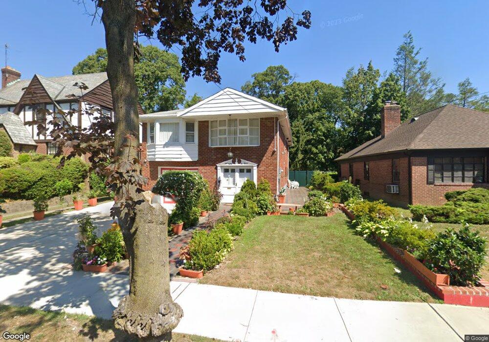
18215 Dalny Rd Jamaica, NY 11432
Jamaica Estates NeighborhoodEstimated Value: $1,174,025 - $1,366,000
--
Bed
--
Bath
1,880
Sq Ft
$690/Sq Ft
Est. Value
About This Home
This home is located at 18215 Dalny Rd, Jamaica, NY 11432 and is currently estimated at $1,297,256, approximately $690 per square foot. 18215 Dalny Rd is a home located in Queens County with nearby schools including P.S. 131 - Abigail Adams, George J. Ryan Middle School 216, and Immaculate Conception Catholic Academy.
Ownership History
Date
Name
Owned For
Owner Type
Purchase Details
Closed on
Apr 28, 2004
Sold by
Davidoff Lester
Bought by
Ulysse Helene and Ulysse Jean Rene
Current Estimated Value
Home Financials for this Owner
Home Financials are based on the most recent Mortgage that was taken out on this home.
Original Mortgage
$495,200
Interest Rate
5.47%
Mortgage Type
Purchase Money Mortgage
Purchase Details
Closed on
Jul 18, 2001
Sold by
Davidoff Dorothy
Bought by
Davidoff Dorothy and Davidoff Lester
Create a Home Valuation Report for This Property
The Home Valuation Report is an in-depth analysis detailing your home's value as well as a comparison with similar homes in the area
Home Values in the Area
Average Home Value in this Area
Purchase History
| Date | Buyer | Sale Price | Title Company |
|---|---|---|---|
| Ulysse Helene | $619,000 | -- | |
| Davidoff Dorothy | -- | -- |
Source: Public Records
Mortgage History
| Date | Status | Borrower | Loan Amount |
|---|---|---|---|
| Previous Owner | Ulysse Helene | $495,200 |
Source: Public Records
Tax History Compared to Growth
Tax History
| Year | Tax Paid | Tax Assessment Tax Assessment Total Assessment is a certain percentage of the fair market value that is determined by local assessors to be the total taxable value of land and additions on the property. | Land | Improvement |
|---|---|---|---|---|
| 2025 | $10,074 | $54,649 | $16,609 | $38,040 |
| 2024 | $10,086 | $51,556 | $17,035 | $34,521 |
| 2023 | $10,074 | $51,556 | $16,144 | $35,412 |
| 2022 | $9,927 | $63,300 | $20,460 | $42,840 |
| 2021 | $9,863 | $67,680 | $20,460 | $47,220 |
| 2020 | $9,344 | $64,920 | $20,460 | $44,460 |
| 2019 | $8,695 | $58,380 | $20,460 | $37,920 |
| 2018 | $8,460 | $42,963 | $13,379 | $29,584 |
| 2017 | $4,277 | $42,639 | $17,624 | $25,015 |
| 2016 | $7,732 | $42,639 | $17,624 | $25,015 |
| 2015 | $4,632 | $37,951 | $17,801 | $20,150 |
| 2014 | $4,632 | $35,803 | $17,668 | $18,135 |
Source: Public Records
Map
Nearby Homes
- 85-49 Avon St
- 85-24 Eton St
- 86-22 Somerset St
- 182-25 Wexford Terrace Unit 506
- 86-32 Avon St
- 18015 Dalny Rd
- 180-16 Wexford Terrace Unit 5D
- 8632 Midland Pkwy
- 182-34 Hillside Ave
- 182-36 Hillside Ave
- 186-34 Henley Rd
- 8746 Chelsea St Unit 6E
- 8746 Chelsea St Unit 7H
- 85-15 Wareham Place
- 84-01 Midland Pkwy
- 8702 Chevy Chase St
- 8830 182nd St Unit 3F
- 88-30 182nd St Unit 1H
- 88-30 182nd St Unit 4D
- 17836 Wexford Terrace Unit 4F