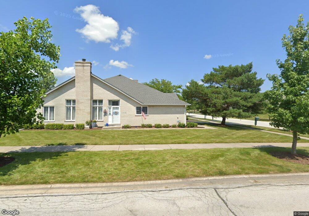
18218 Mockingbird Ln Tinley Park, IL 60487
Central Tinley Park NeighborhoodEstimated Value: $340,000 - $396,000
3
Beds
2
Baths
1,900
Sq Ft
$194/Sq Ft
Est. Value
About This Home
This home is located at 18218 Mockingbird Ln, Tinley Park, IL 60487 and is currently estimated at $368,665, approximately $194 per square foot. 18218 Mockingbird Ln is a home located in Cook County with nearby schools including Millennium Elementary School, Prairie View Middle School, and Victor J Andrew High School.
Ownership History
Date
Name
Owned For
Owner Type
Purchase Details
Closed on
May 8, 2017
Sold by
The Chicago Trust Company N A
Bought by
Ochenkowski Robbin
Current Estimated Value
Purchase Details
Closed on
Feb 26, 2007
Sold by
Duffy Joseph P
Bought by
Wayne Hummer Trust Co Na and Trust #Bev-2360
Purchase Details
Closed on
Oct 17, 1997
Sold by
Heritage Trust Company
Bought by
Duffy Joseph P and Duffy Margaret L
Create a Home Valuation Report for This Property
The Home Valuation Report is an in-depth analysis detailing your home's value as well as a comparison with similar homes in the area
Home Values in the Area
Average Home Value in this Area
Purchase History
| Date | Buyer | Sale Price | Title Company |
|---|---|---|---|
| Ochenkowski Robbin | $205,000 | Fidelity National Title | |
| Wayne Hummer Trust Co Na | -- | None Available | |
| Duffy Joseph P | $162,333 | -- |
Source: Public Records
Tax History Compared to Growth
Tax History
| Year | Tax Paid | Tax Assessment Tax Assessment Total Assessment is a certain percentage of the fair market value that is determined by local assessors to be the total taxable value of land and additions on the property. | Land | Improvement |
|---|---|---|---|---|
| 2024 | $4,391 | $30,000 | $4,243 | $25,757 |
| 2023 | $6,792 | $32,000 | $4,243 | $27,757 |
| 2022 | $6,792 | $22,473 | $3,661 | $18,812 |
| 2021 | $6,604 | $22,471 | $3,660 | $18,811 |
| 2020 | $6,509 | $22,471 | $3,660 | $18,811 |
| 2019 | $6,584 | $23,729 | $3,328 | $20,401 |
| 2018 | $6,441 | $23,729 | $3,328 | $20,401 |
| 2017 | $6,288 | $23,729 | $3,328 | $20,401 |
| 2016 | $6,812 | $20,512 | $2,995 | $17,517 |
| 2015 | $6,740 | $20,512 | $2,995 | $17,517 |
| 2014 | $5,247 | $20,512 | $2,995 | $17,517 |
| 2013 | $5,581 | $22,987 | $2,995 | $19,992 |
Source: Public Records
Map
Nearby Homes
- 9038 Mansfield Dr Unit 8
- 9051 Mansfield Dr Unit 1
- 18248 Murphy Cir Unit 182
- 18055 Upland Dr
- 18261 Kirby Dr Unit 2918261
- 8416 Stratford Dr Unit 8416
- 17964 Upland Dr
- 8836 Clifton Ln
- 8530 Radcliffe Rd
- 17631 Dover Ct
- 17533 Pecan Ln
- Fremont Plan at Radcliffe Place
- Calysta Plan at Radcliffe Place
- Danbury Plan at Radcliffe Place
- Briarcliffe Plan at Radcliffe Place
- Eden Plan at Radcliffe Place
- Amberwood Plan at Radcliffe Place
- 9280 Windsor Pkwy Unit 92
- 9260 Windsor Pkwy Unit 80
- 17500 Lagrange Rd
- 18216 Mockingbird Ln
- 18214 Mockingbird Ln
- 18212 Mockingbird Ln
- 18208 Mockingbird Ln
- 8832 Bluebird Dr
- 8903 Bluebird Dr
- 8907 Bluebird Dr Unit 2
- 8901 Bluebird Dr
- 8905 Bluebird Dr
- 8905 Bluebird Dr Unit 8905
- 8837 Bluebird Dr
- 18206 Mockingbird Ln
- 8835 Bluebird Dr
- 8830 Bluebird Dr
- 8833 Bluebird Dr
- 18204 Mockingbird Ln
- 8828 Bluebird Dr
- 8831 Bluebird Dr
- 18213 Mockingbird Ln
- 18202 Mockingbird Ln