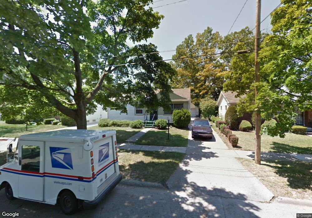
1822 Barks St Flint, MI 48503
South Parks NeighborhoodEstimated Value: $62,000 - $84,000
3
Beds
2
Baths
975
Sq Ft
$78/Sq Ft
Est. Value
About This Home
This home is located at 1822 Barks St, Flint, MI 48503 and is currently estimated at $75,639, approximately $77 per square foot. 1822 Barks St is a home located in Genesee County with nearby schools including Freeman Elementary School, Flint Southwestern Classical Academy, and International Academy of Flint (K-12).
Ownership History
Date
Name
Owned For
Owner Type
Purchase Details
Closed on
May 4, 2019
Sold by
Brown Brenda B
Bought by
Brown Brenda B and Edwards Kevin A
Current Estimated Value
Purchase Details
Closed on
Feb 6, 2008
Sold by
Matthews Geraldine and Matthews Homer
Bought by
Matthews Agnes Geraldine
Home Financials for this Owner
Home Financials are based on the most recent Mortgage that was taken out on this home.
Original Mortgage
$75,000
Interest Rate
3.23%
Mortgage Type
Reverse Mortgage Home Equity Conversion Mortgage
Create a Home Valuation Report for This Property
The Home Valuation Report is an in-depth analysis detailing your home's value as well as a comparison with similar homes in the area
Home Values in the Area
Average Home Value in this Area
Purchase History
| Date | Buyer | Sale Price | Title Company |
|---|---|---|---|
| Brown Brenda B | -- | None Available | |
| Matthews Agnes Geraldine | -- | None Available |
Source: Public Records
Mortgage History
| Date | Status | Borrower | Loan Amount |
|---|---|---|---|
| Closed | Matthews Agnes Geraldine | $75,000 |
Source: Public Records
Tax History
| Year | Tax Paid | Tax Assessment Tax Assessment Total Assessment is a certain percentage of the fair market value that is determined by local assessors to be the total taxable value of land and additions on the property. | Land | Improvement |
|---|---|---|---|---|
| 2025 | $1,610 | $35,600 | $0 | $0 |
| 2024 | $1,481 | $31,700 | $0 | $0 |
| 2023 | $1,439 | $26,900 | $0 | $0 |
| 2022 | $0 | $24,100 | $0 | $0 |
| 2021 | $1,464 | $20,300 | $0 | $0 |
| 2020 | $1,336 | $16,300 | $0 | $0 |
| 2019 | $770 | $15,000 | $0 | $0 |
| 2018 | $766 | $14,200 | $0 | $0 |
| 2017 | $745 | $0 | $0 | $0 |
| 2016 | $741 | $0 | $0 | $0 |
| 2015 | -- | $0 | $0 | $0 |
| 2014 | -- | $0 | $0 | $0 |
| 2012 | -- | $13,700 | $0 | $0 |
Source: Public Records
Map
Nearby Homes
- 1851 Seymour Ave
- 1814 Mcphail St
- 1840 Mcphail St
- 2033 Seymour Ave
- 1930 Owen St
- 9211 Owen St
- 2029 Winans Ave
- 1510 S Franklin Ave
- 1114 W Vernon Dr
- 2010 Crocker Ave
- 1210 Blanchard Ave
- 2221 Howard Ave
- 2224 Crocker Ave
- 2050 Ferris Ave
- 1720 Park St
- 2013 E Court St
- 1701 Park St
- 1925 Gilmartin St
- 420 Pingree Ave
- 1828 Tebo St
Your Personal Tour Guide
Ask me questions while you tour the home.