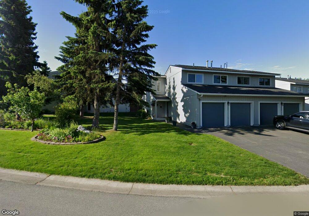
1822 Parkside Dr Anchorage, AK 99501
Airport Heights NeighborhoodEstimated Value: $202,000 - $379,000
About This Home
This home is located at 1822 Parkside Dr, Anchorage, AK 99501 and is currently estimated at $319,247, approximately $221 per square foot. 1822 Parkside Dr is a home located in Anchorage Municipality with nearby schools including Airport Heights Elementary School, Wendler Middle School, and Bettye Davis East Anchorage High School.
Ownership History
We collect this data history from publicly available records. To have your information removed, we recommend requesting removal directly through your county’s website.
Purchase Details
Purchase Details
Home Financials for this Owner
Home Financials are based on the most recent Mortgage that was taken out on this home.Home Values in the Area
Average Home Value in this Area
Purchase History
We collect this data history from publicly available records. To have your information removed, we recommend requesting removal directly through your county’s website.
| Date | Buyer | Sale Price | Title Company |
|---|---|---|---|
| -- | Pnt | ||
| -- | -- |
Mortgage History
We collect this data history from publicly available records. To have your information removed, we recommend requesting removal directly through your county’s website.
| Date | Status | Borrower | Loan Amount |
|---|---|---|---|
| Previous Owner | $87,000 |
Tax History
We collect this data history from publicly available records. To have your information removed, we recommend requesting removal directly through your county’s website.
| Year | Tax Paid | Tax Assessment Tax Assessment Total Assessment is a certain percentage of the fair market value that is determined by local assessors to be the total taxable value of land and additions on the property. | Land | Improvement |
|---|---|---|---|---|
| 2025 | $1,598 | $326,200 | $80,400 | $245,800 |
| 2024 | $1,426 | $313,300 | $80,400 | $232,900 |
| 2023 | $1,064 | $287,500 | $80,400 | $207,100 |
| 2022 | $1,271 | $275,500 | $80,400 | $195,100 |
| 2021 | $4,601 | $255,300 | $80,400 | $174,900 |
| 2020 | $735 | $243,000 | $80,400 | $162,600 |
| 2019 | $856 | $252,300 | $80,400 | $171,900 |
| 2018 | $787 | $247,500 | $75,600 | $171,900 |
| 2017 | $1,300 | $253,000 | $75,600 | $177,400 |
| 2016 | $814 | $248,100 | $72,500 | $175,600 |
| 2015 | $814 | $245,500 | $79,200 | $166,300 |
| 2014 | $814 | $244,700 | $79,200 | $165,500 |
Map
- 1650 Eastridge Dr Unit 4-204
- 1630 Eastridge Dr Unit 303
- 1804 Parkside Dr
- 2067 Eastridge Dr Unit 35
- 2107 Sorbus Way
- 1704 Orca Place
- 2243 Sorbus Way
- 2031 Shepherdia Dr
- 2615 Sorbus Cir
- 1852 E 26th Ave
- 1310 Chance Ct
- 2091 Crataegus Ave
- 1207 E 16th Ave Unit 1207
- 1328 Birchwood St
- 2642 Cottonwood St
- 2900 Dartmouth Dr
- 000 Tr A Thurston
- 1103 Bannister Dr
- 2913 Wentworth St
- 1843 Juneau Dr
- 1825 Parkside Dr
- 1823 Parkside Dr
- 1827 Parkside Dr
- 1821 Parkside Dr
- 1829 Parkside Dr
- 1819 Parkside Dr
- 1831 Parkside Dr
- 1817 Parkside Dr
- 1670 Eastridge Dr Unit 203
- 1670 Eastridge Dr Unit 303
- 1670 Eastridge Dr Unit 202
- 1670 Eastridge Dr Unit 5-202
- 1670 Eastridge Dr Unit 302
- 1820 Parkside Dr
- 1815 Parkside Dr
- 1818 Parkside Dr
- 1835 Parkside Dr
- 1840 Parkside Dr
- 1816 Parkside Dr
- 1837 Parkside Dr
Ask me questions while you tour the home.