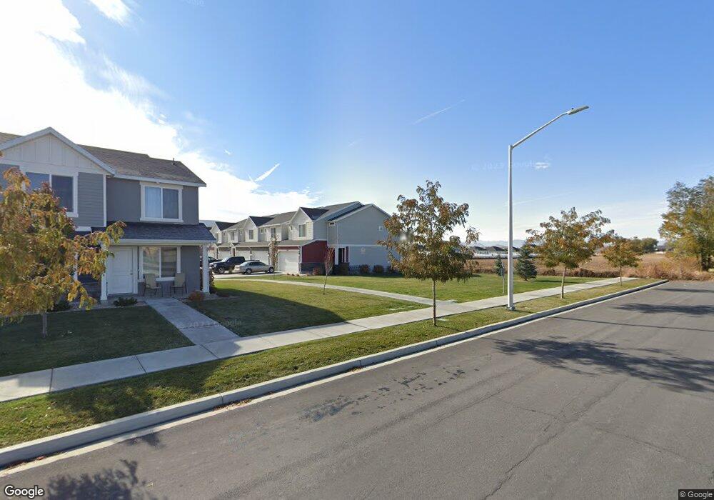
1822 S 460 W Unit 200 Payson, UT 84651
Estimated Value: $379,000 - $396,000
3
Beds
2
Baths
2,185
Sq Ft
$177/Sq Ft
Est. Value
About This Home
This home is located at 1822 S 460 W Unit 200, Payson, UT 84651 and is currently estimated at $386,748, approximately $177 per square foot. 1822 S 460 W Unit 200 is a home located in Utah County with nearby schools including Spring Lake Elementary, Payson High School, and Payson Junior High School.
Ownership History
Date
Name
Owned For
Owner Type
Purchase Details
Closed on
Sep 18, 2023
Sold by
Leavitt Cody and Hiatt Jentry
Bought by
Evans Jeff Alan
Current Estimated Value
Home Financials for this Owner
Home Financials are based on the most recent Mortgage that was taken out on this home.
Original Mortgage
$317,463
Outstanding Balance
$310,654
Interest Rate
6.9%
Mortgage Type
New Conventional
Estimated Equity
$76,094
Purchase Details
Closed on
Jun 16, 2020
Sold by
D R Horton Inc
Bought by
Leavitt Cody and Hiatt Jentry
Home Financials for this Owner
Home Financials are based on the most recent Mortgage that was taken out on this home.
Original Mortgage
$270,267
Interest Rate
3.2%
Mortgage Type
New Conventional
Create a Home Valuation Report for This Property
The Home Valuation Report is an in-depth analysis detailing your home's value as well as a comparison with similar homes in the area
Home Values in the Area
Average Home Value in this Area
Purchase History
| Date | Buyer | Sale Price | Title Company |
|---|---|---|---|
| Evans Jeff Alan | -- | Investors Title | |
| Leavitt Cody | -- | Cottonwood Tite Ins Agcy Inc |
Source: Public Records
Mortgage History
| Date | Status | Borrower | Loan Amount |
|---|---|---|---|
| Open | Evans Jeff Alan | $317,463 | |
| Previous Owner | Leavitt Cody | $270,267 |
Source: Public Records
Tax History Compared to Growth
Tax History
| Year | Tax Paid | Tax Assessment Tax Assessment Total Assessment is a certain percentage of the fair market value that is determined by local assessors to be the total taxable value of land and additions on the property. | Land | Improvement |
|---|---|---|---|---|
| 2025 | $2,048 | $203,445 | $54,400 | $315,500 |
| 2024 | $2,048 | $208,395 | $0 | $0 |
| 2023 | $1,974 | $201,410 | $0 | $0 |
| 2022 | $1,837 | $184,415 | $0 | $0 |
| 2021 | $1,632 | $262,800 | $39,400 | $223,400 |
| 2020 | $866 | $75,000 | $75,000 | $0 |
Source: Public Records
Map
Nearby Homes
- 1856 S 410 W
- 1868 S 410 W
- 480 W 1890 S
- 1825 S 410 W
- 1652 S 240 W Unit 48
- 1632 S 240 W Unit 47
- 211 W 1800 S
- The Aurora Plan at Payson View South
- The McKenzie Plan at Payson View South
- The Elizabeth Plan at Payson View South
- The Christine Plan at Payson View South
- The Kaitlyn Plan at Payson View South
- The Autumn Plan at Payson View South
- The Avery Plan at Payson View South
- The Roosevelt Plan at Payson View South
- The Brooke Plan at Payson View South
- The Madison Plan at Payson View South
- The Brandy Plan at Payson View South
- The Evelyn Plan at Payson View South
- The Tracie Plan at Payson View South
- 1826 S 460 W Unit 46
- 1830 S 460 W Unit 45
- 1830 S 460 W
- 1834 S 460 W Unit 44
- 1838 S 460 W Unit 43
- 452 W 1820 S Unit 49
- 1846 S 460 W
- 448 W 1820 S Unit 50
- 448 W 1820 S
- 1837 S 460 W
- 1850 S 460 W
- 444 W 1820 S Unit 51
- 1841 S 460 W Unit 80
- 1845 S 460 W
- 1854 S 460 W Unit 40
- 438 W 1820 S
- 1849 S 460 W
- 1849 S 460 W Unit 82
- 1856 S 460 W
- 1853 S 460 W Unit 83