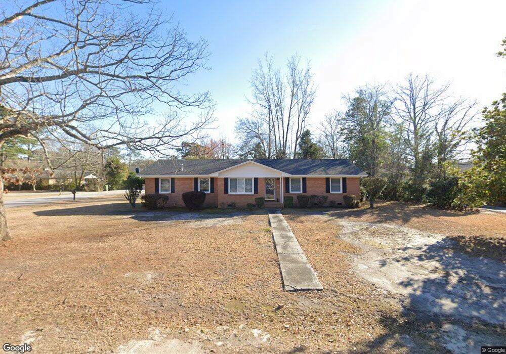
1822 W Sandhurst Dr Florence, SC 29505
Estimated Value: $209,000 - $235,325
3
Beds
2
Baths
1,891
Sq Ft
$120/Sq Ft
Est. Value
About This Home
This home is located at 1822 W Sandhurst Dr, Florence, SC 29505 and is currently estimated at $226,331, approximately $119 per square foot. 1822 W Sandhurst Dr is a home located in Florence County with nearby schools including McLaurin Elementary School, Southside Middle School, and South Florence High School.
Ownership History
Date
Name
Owned For
Owner Type
Purchase Details
Closed on
Jul 29, 2011
Sold by
Carey Robert R
Bought by
Mcclam Jennifer Leigh and Steadman Krista L
Current Estimated Value
Home Financials for this Owner
Home Financials are based on the most recent Mortgage that was taken out on this home.
Original Mortgage
$132,552
Outstanding Balance
$91,477
Interest Rate
4.5%
Mortgage Type
FHA
Estimated Equity
$134,854
Purchase Details
Closed on
Jan 15, 2010
Sold by
Caulder Denise C
Bought by
Carey Robert R
Purchase Details
Closed on
Mar 28, 2002
Sold by
Campbell Elizabeth K
Bought by
Caulder Denise C
Create a Home Valuation Report for This Property
The Home Valuation Report is an in-depth analysis detailing your home's value as well as a comparison with similar homes in the area
Home Values in the Area
Average Home Value in this Area
Purchase History
| Date | Buyer | Sale Price | Title Company |
|---|---|---|---|
| Mcclam Jennifer Leigh | $136,000 | -- | |
| Carey Robert R | $154,000 | -- | |
| Caulder Denise C | $108,300 | -- |
Source: Public Records
Mortgage History
| Date | Status | Borrower | Loan Amount |
|---|---|---|---|
| Open | Mcclam Jennifer Leigh | $132,552 |
Source: Public Records
Tax History Compared to Growth
Tax History
| Year | Tax Paid | Tax Assessment Tax Assessment Total Assessment is a certain percentage of the fair market value that is determined by local assessors to be the total taxable value of land and additions on the property. | Land | Improvement |
|---|---|---|---|---|
| 2024 | $635 | $7,375 | $1,000 | $6,375 |
| 2023 | $573 | $5,383 | $1,000 | $4,383 |
| 2022 | $657 | $5,383 | $1,000 | $4,383 |
| 2021 | $704 | $5,380 | $0 | $0 |
| 2020 | $641 | $5,380 | $0 | $0 |
| 2019 | $598 | $5,383 | $1,000 | $4,383 |
| 2018 | $562 | $5,380 | $0 | $0 |
| 2017 | $533 | $5,380 | $0 | $0 |
| 2016 | $490 | $5,380 | $0 | $0 |
| 2015 | $512 | $5,380 | $0 | $0 |
| 2014 | $442 | $5,383 | $1,000 | $4,383 |
Source: Public Records
Map
Nearby Homes
- 1767 Marsh Ave
- 1768 Marsh Ave
- 1770 Woods Dr
- 1311 Pinckney Ave
- 1801 Woods Dr
- 1700 Woods Dr
- 1779 S Saint Anthony Ave
- 1311 Queens Ferry Rd
- 1303 Queensferry
- 1800 Thistle Ct
- 1174 Berkeley Ave
- 1175 Berkeley Ave
- 1719 Furman Dr
- 1714 2nd Loop Rd
- 1105 Clarendon Ave
- 1521 2nd Loop Rd
- 2113 Sanderling Dr
- 1100 Meredith Dr
- 1465 Gardener Rd
- 2211 Amberleigh Ct
- 1826 W Sandhurst Dr
- 1801 Kent Cir
- 1801 Kent Cir
- 1816 W Sandhurst Dr
- 1805 Kent Cir
- 1830 W Sandhurst Dr
- 1827 W Sandhurst Dr
- 1823 W Sandhurst Dr
- 1806 Devonshire Dr
- 1831 W Sandhurst Dr
- 1819 W Sandhurst Dr
- 1810 W Sandhurst Dr
- 1834 W Sandhurst Dr
- 1809 Kent Cir
- 1810 Devonshire Dr
- 1835 W Sandhurst Dr
- 1815 W Sandhurst Dr
- 1815 Devonshire Dr
- 1815 Sandhust Dr
- 1332 Clarendon Ave