18227 Alpine Rd West Fork, AR 72774
Estimated Value: $236,000 - $340,000
3
Beds
2
Baths
1,408
Sq Ft
$197/Sq Ft
Est. Value
About This Home
This home is located at 18227 Alpine Rd, West Fork, AR 72774 and is currently estimated at $277,164, approximately $196 per square foot. 18227 Alpine Rd is a home located in Washington County with nearby schools including West Fork Elementary School, West Fork Middle School, and West Fork High School.
Ownership History
Date
Name
Owned For
Owner Type
Purchase Details
Closed on
Jan 25, 2021
Sold by
Olson Clifford
Bought by
Keathley Mark L
Current Estimated Value
Home Financials for this Owner
Home Financials are based on the most recent Mortgage that was taken out on this home.
Original Mortgage
$181,717
Outstanding Balance
$160,946
Interest Rate
2.67%
Mortgage Type
New Conventional
Estimated Equity
$116,218
Purchase Details
Closed on
Sep 23, 2015
Bought by
Olson Clifford
Purchase Details
Closed on
Aug 13, 2015
Bought by
Olson Clifford
Purchase Details
Closed on
Nov 12, 2010
Sold by
Federal Home Loan Mortgage Corporation
Bought by
Olson Clifford and Olson Cheryl
Home Financials for this Owner
Home Financials are based on the most recent Mortgage that was taken out on this home.
Original Mortgage
$85,000
Interest Rate
4.27%
Mortgage Type
New Conventional
Create a Home Valuation Report for This Property
The Home Valuation Report is an in-depth analysis detailing your home's value as well as a comparison with similar homes in the area
Purchase History
| Date | Buyer | Sale Price | Title Company |
|---|---|---|---|
| Keathley Mark L | $179,900 | Waco Title | |
| Olson Clifford | -- | -- | |
| Olson Clifford | -- | -- | |
| Olson Clifford | -- | Fnt |
Source: Public Records
Mortgage History
| Date | Status | Borrower | Loan Amount |
|---|---|---|---|
| Open | Keathley Mark L | $181,717 | |
| Previous Owner | Olson Clifford | $85,000 |
Source: Public Records
Tax History Compared to Growth
Tax History
| Year | Tax Paid | Tax Assessment Tax Assessment Total Assessment is a certain percentage of the fair market value that is determined by local assessors to be the total taxable value of land and additions on the property. | Land | Improvement |
|---|---|---|---|---|
| 2025 | $1,678 | $41,430 | $8,280 | $33,150 |
| 2024 | $1,549 | $41,430 | $8,280 | $33,150 |
| 2023 | $1,425 | $41,430 | $8,280 | $33,150 |
| 2022 | $1,346 | $26,940 | $5,680 | $21,260 |
| 2021 | $1,117 | $26,940 | $5,680 | $21,260 |
| 2020 | $645 | $26,940 | $5,680 | $21,260 |
| 2019 | $645 | $21,570 | $4,390 | $17,180 |
| 2018 | $670 | $21,570 | $4,390 | $17,180 |
| 2017 | $590 | $21,570 | $4,390 | $17,180 |
| 2016 | $640 | $21,570 | $4,390 | $17,180 |
| 2015 | $640 | $21,570 | $4,390 | $17,180 |
| 2014 | $640 | $20,170 | $4,190 | $15,980 |
Source: Public Records
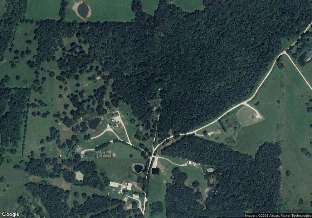
Map
Nearby Homes
- 18544 Bug Scuffle Rd
- TBD Zinnamon Church Rd
- 18403 S Highway 170
- 17952 S Highway 170
- 19055 S Cove Creek Rd
- TBD Strickler (Wc 217) Rd
- 16175 Cove Creek N
- TBD Strickler Rd
- 16175 N Cove Creek Wc 21 Rd
- 15337 Stagecoach Rd
- 16977 Holcombe School Rd
- 16891 Holcombe School Rd
- TBD Bug Scuffle Rd
- 00 Hubbard Rd
- 16380 Cove Creek Rd N
- 14774 Cove Creek Rd N
- TBD Pierson Rd
- TBD Blue Mountain Rd
- 14753 Cove Creek Rd N
- 21408 Pierson Rd
- 18244 Alpine Rd
- 18213 Alpine Rd
- 0 Rd 3242 (Alpine Drive)
- 0 Rd 3242 (Alpine Drive)
- - Alpine Rd
- 0 Alpine Rd
- 18245 Alpine Rd
- 18245 Alpine Rd
- 18287 Alpine Rd
- 18168 Alpine Rd
- 14064 S Highway 265
- 14064 W Highway 265
- 18155 Alpine Rd
- 13725 Arkansas 265
- 13596 S Hwy 265
- 13596 Arkansas 265
- 18064 S Highway 265
- 18026 S Highway 265
- 18277 S Highway 265
- 18277 S Highway 265