18227 Hurricane Ct Hagerstown, MD 21740
Collegiate Acres NeighborhoodEstimated Value: $303,080 - $342,000
--
Bed
2
Baths
2,334
Sq Ft
$140/Sq Ft
Est. Value
About This Home
This home is located at 18227 Hurricane Ct, Hagerstown, MD 21740 and is currently estimated at $327,520, approximately $140 per square foot. 18227 Hurricane Ct is a home located in Washington County with nearby schools including Maugansville Elementary School, Western Heights Middle School, and North Hagerstown High School.
Ownership History
Date
Name
Owned For
Owner Type
Purchase Details
Closed on
Apr 25, 2013
Sold by
Beazer Homes Corp
Bought by
Grantham Jerome and Grantham Stephanie L
Current Estimated Value
Home Financials for this Owner
Home Financials are based on the most recent Mortgage that was taken out on this home.
Original Mortgage
$200,000
Outstanding Balance
$142,483
Interest Rate
3.6%
Mortgage Type
New Conventional
Estimated Equity
$185,037
Create a Home Valuation Report for This Property
The Home Valuation Report is an in-depth analysis detailing your home's value as well as a comparison with similar homes in the area
Home Values in the Area
Average Home Value in this Area
Purchase History
| Date | Buyer | Sale Price | Title Company |
|---|---|---|---|
| Grantham Jerome | $196,000 | Title One Settlement Group L |
Source: Public Records
Mortgage History
| Date | Status | Borrower | Loan Amount |
|---|---|---|---|
| Open | Grantham Jerome | $200,000 |
Source: Public Records
Tax History Compared to Growth
Tax History
| Year | Tax Paid | Tax Assessment Tax Assessment Total Assessment is a certain percentage of the fair market value that is determined by local assessors to be the total taxable value of land and additions on the property. | Land | Improvement |
|---|---|---|---|---|
| 2025 | $2,048 | $266,000 | $35,000 | $231,000 |
| 2024 | $2,048 | $244,500 | $0 | $0 |
| 2023 | $1,939 | $223,000 | $0 | $0 |
| 2022 | $1,836 | $201,500 | $35,000 | $166,500 |
| 2021 | $1,807 | $197,833 | $0 | $0 |
| 2020 | $1,807 | $194,167 | $0 | $0 |
| 2019 | $1,781 | $190,500 | $35,000 | $155,500 |
| 2018 | $1,764 | $188,633 | $0 | $0 |
| 2017 | $1,699 | $186,767 | $0 | $0 |
| 2016 | -- | $184,900 | $0 | $0 |
| 2015 | -- | $172,900 | $0 | $0 |
| 2014 | -- | $160,900 | $0 | $0 |
Source: Public Records
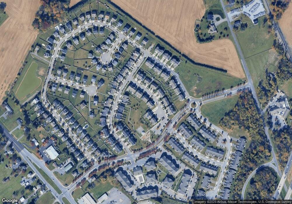
Map
Nearby Homes
- 12922 Nittany Lion Cir
- 12922 Salem Ave
- 1328 Outer Dr
- 1349 Cedarwood Dr
- 1424 Outer Dr
- 343 A&B Woodpoint Ave
- 343 Woodpoint Ave Unit A & B
- 341 A&B Woodpoint Ave
- 341 Woodpoint Ave Unit A & B
- 1362 Connecticut Ave
- 1361 Connecticut Ave
- 1229 Wayne Ave
- 1355 Connecticut Ave
- 13409 Chads Terrace
- 17734 Perlite Way
- 1321 Marshall St
- 1113 Green Ln
- 1223 Glenwood Ave
- 1181 Wayne Ave
- 0 Haven Rd
- 18225 Hurricane Ct
- 18223 Hurricane Ct
- 18233 Hurricane Ct
- 18235 Hurricane Ct
- 18217 Hurricane Ct
- 18237 Hurricane Ct
- 18215 Hurricane Ct
- 18241 Hurricane Ct
- 18213 Hurricane Ct
- 18243 Hurricane Ct
- 18209 Hurricane Ct
- 18230 Hurricane Ct
- 18228 Hurricane Ct
- 18232 Hurricane Ct
- 18245 Hurricane Ct
- 18207 Hurricane Ct
- 18234 Hurricane Ct
- 18222 Hurricane Ct
- 18224 Hurricane Ct
- 18220 Hurricane Ct