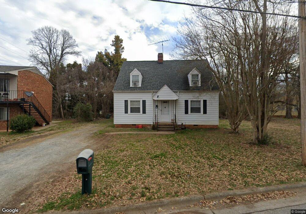
1823 Branch St High Point, NC 27260
Greater High Point NeighborhoodEstimated Value: $110,000 - $161,000
3
Beds
3
Baths
1,683
Sq Ft
$82/Sq Ft
Est. Value
About This Home
This home is located at 1823 Branch St, High Point, NC 27260 and is currently estimated at $137,180, approximately $81 per square foot. 1823 Branch St is a home located in Guilford County with nearby schools including Oak Hill Elementary School, Ferndale Middle School, and High Point Central High School.
Ownership History
Date
Name
Owned For
Owner Type
Purchase Details
Closed on
Aug 29, 2003
Sold by
Hendrick Madge Louise
Bought by
Woods Bobby R and Woods Janice
Current Estimated Value
Home Financials for this Owner
Home Financials are based on the most recent Mortgage that was taken out on this home.
Original Mortgage
$50,000
Outstanding Balance
$23,259
Interest Rate
6.28%
Mortgage Type
Purchase Money Mortgage
Estimated Equity
$113,921
Create a Home Valuation Report for This Property
The Home Valuation Report is an in-depth analysis detailing your home's value as well as a comparison with similar homes in the area
Home Values in the Area
Average Home Value in this Area
Purchase History
| Date | Buyer | Sale Price | Title Company |
|---|---|---|---|
| Woods Bobby R | $50,000 | -- |
Source: Public Records
Mortgage History
| Date | Status | Borrower | Loan Amount |
|---|---|---|---|
| Open | Woods Bobby R | $50,000 |
Source: Public Records
Tax History
| Year | Tax Paid | Tax Assessment Tax Assessment Total Assessment is a certain percentage of the fair market value that is determined by local assessors to be the total taxable value of land and additions on the property. | Land | Improvement |
|---|---|---|---|---|
| 2025 | $522 | $37,900 | $10,000 | $27,900 |
| 2024 | $522 | $37,900 | $10,000 | $27,900 |
| 2023 | $522 | $37,900 | $10,000 | $27,900 |
| 2022 | $511 | $37,900 | $10,000 | $27,900 |
| 2021 | $442 | $32,100 | $7,000 | $25,100 |
| 2020 | $442 | $32,100 | $7,000 | $25,100 |
| 2019 | $442 | $32,100 | $0 | $0 |
| 2018 | $440 | $32,100 | $0 | $0 |
| 2017 | $440 | $32,100 | $0 | $0 |
| 2016 | $436 | $31,100 | $0 | $0 |
| 2015 | $439 | $31,100 | $0 | $0 |
| 2014 | $446 | $31,100 | $0 | $0 |
Source: Public Records
Map
Nearby Homes
- 4304 Griffins Gate Ln
- 1504 Cloverdale St
- 1410 Cloverdale St
- 323 Coltrane Ave
- 206 Model Farm Rd
- 1217 Cloverdale St
- 1213 S Elm St
- 308 W Kearns Ave
- 206 E Moore Ave
- 335 Nathan Hunt Dr
- 1114 Richland St
- 312 Model Farm Rd
- 1422 Valley Ridge Dr
- 537 Flint Ave
- 925 Randolph St
- 1021 Asheboro St
- 1010 Grace St
- 1015 Sharon St
- 405 W Willis Ave
- 407 W Willis Ave
- 124 Kendall Ave
- 122 Kendall Ave
- 1824 Branch St
- 1826 Branch St
- 120 Kendall Ave
- 1818 Branch St
- 208 Kendall Ave
- 118 Kendall Ave
- 205 Kendall Ave
- 201 Kendall Ave
- 123 Kendall Ave
- 114 Kendall Ave
- 203 Kendall Ave
- 121 Kendall Ave
- 119 Kendall Ave
- 1820 Branch St
- 1903 King St
- 117 Kendall Ave
- 112 Kendall Ave
- 1814 Branch St
Your Personal Tour Guide
Ask me questions while you tour the home.