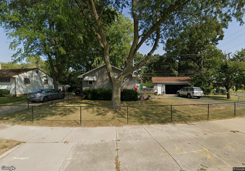
1823 Delaware Rd Waukegan, IL 60087
Lake Cogardens NeighborhoodEstimated Value: $203,000 - $234,000
2
Beds
1
Bath
864
Sq Ft
$251/Sq Ft
Est. Value
About This Home
This home is located at 1823 Delaware Rd, Waukegan, IL 60087 and is currently estimated at $216,827, approximately $250 per square foot. 1823 Delaware Rd is a home located in Lake County with nearby schools including Clearview Elementary School, Miguel Juarez Middle School, and Waukegan High School.
Ownership History
Date
Name
Owned For
Owner Type
Purchase Details
Closed on
Jul 27, 2000
Sold by
Moreno Rogel Julian P and Moreno Rogel Gloria
Bought by
Diaz Loeb Ardo
Current Estimated Value
Home Financials for this Owner
Home Financials are based on the most recent Mortgage that was taken out on this home.
Original Mortgage
$104,141
Outstanding Balance
$37,814
Interest Rate
8.24%
Mortgage Type
FHA
Estimated Equity
$179,013
Create a Home Valuation Report for This Property
The Home Valuation Report is an in-depth analysis detailing your home's value as well as a comparison with similar homes in the area
Home Values in the Area
Average Home Value in this Area
Purchase History
| Date | Buyer | Sale Price | Title Company |
|---|---|---|---|
| Diaz Loeb Ardo | $105,000 | Ticor Title |
Source: Public Records
Mortgage History
| Date | Status | Borrower | Loan Amount |
|---|---|---|---|
| Open | Diaz Loeb Ardo | $104,141 |
Source: Public Records
Tax History
| Year | Tax Paid | Tax Assessment Tax Assessment Total Assessment is a certain percentage of the fair market value that is determined by local assessors to be the total taxable value of land and additions on the property. | Land | Improvement |
|---|---|---|---|---|
| 2024 | $4,222 | $67,269 | $11,576 | $55,693 |
| 2023 | $3,767 | $60,770 | $10,458 | $50,312 |
| 2022 | $3,767 | $49,532 | $9,964 | $39,568 |
| 2021 | $3,365 | $43,276 | $8,627 | $34,649 |
| 2020 | $3,323 | $40,317 | $8,037 | $32,280 |
| 2019 | $3,248 | $36,944 | $7,365 | $29,579 |
| 2018 | $2,458 | $30,708 | $9,379 | $21,329 |
| 2017 | $2,300 | $27,168 | $8,298 | $18,870 |
| 2016 | $1,948 | $23,608 | $7,211 | $16,397 |
| 2015 | $1,711 | $21,130 | $6,454 | $14,676 |
| 2014 | $2,245 | $23,425 | $7,623 | $15,802 |
| 2012 | $3,343 | $25,378 | $8,259 | $17,119 |
Source: Public Records
Map
Nearby Homes
- 2440 W Cheyenne Rd
- 1913 Apache Rd
- 1916 Niva Ct
- 12352 W Atlantic Ave
- 2508 W Atlantic Ave
- 12787 W Grove Ave
- 2810 W Atlantic Ave
- 2223 New York St
- 2928 W Country Club Ave
- 3000 W Country Club Ave
- 2946 W Country Club Ave
- 1504 W Glen Flora Ave
- 1005 N Lewis Ave
- 1810 Linden Ave
- 956 Westmoreland Ave
- 968 Judge Ave
- 3320 Sunset Ave
- 905 Glenwood Ave
- 1810 N Jackson St
- 1832 N Jackson St
- 1833 Delaware Rd
- 1839 Delaware Rd Unit 1
- 2108 W Greenwood Ave
- 2221 W Greenwood Ave
- 2230 W Greenwood Ave
- 1845 Delaware Rd
- 1840 Delaware Rd Unit 1
- 2231 W Greenwood Ave
- 2240 W Greenwood Ave
- 1851 Delaware Rd
- 2104 W Greenwood Ave
- 2241 W Greenwood Ave
- 2241 W Cheyenne Rd
- 1857 Delaware Rd
- 2300 W Greenwood Ave
- 1834 Kellogg Ave
- 2301 W Greenwood Ave
- 2301 W Cheyenne Rd
- 1862 Delaware Rd
- 1816 Kellogg Ave
Your Personal Tour Guide
Ask me questions while you tour the home.