1823 Fox Ridge Dr E Springfield, OH 45503
Estimated Value: $240,514 - $270,000
2
Beds
2
Baths
1,623
Sq Ft
$157/Sq Ft
Est. Value
About This Home
This home is located at 1823 Fox Ridge Dr E, Springfield, OH 45503 and is currently estimated at $254,879, approximately $157 per square foot. 1823 Fox Ridge Dr E is a home located in Clark County with nearby schools including Northridge Elementary School, Kenton Ridge Middle & High School, and Emmanuel Christian Academy.
Ownership History
Date
Name
Owned For
Owner Type
Purchase Details
Closed on
Feb 27, 2020
Sold by
Everhart Daniel L and Everhart Nancy A
Bought by
Everhart Daniel L and Everhart Nancy A
Current Estimated Value
Purchase Details
Closed on
Mar 22, 2013
Sold by
Bowen Ryan M
Bought by
Everhart Daniel L and Everhart Nancy A
Purchase Details
Closed on
Nov 26, 2002
Sold by
Mundhenk Ralph L and Mundhenk Linda M
Bought by
Bowen Stephen W and Bowen Evangeline K
Purchase Details
Closed on
Sep 22, 1993
Create a Home Valuation Report for This Property
The Home Valuation Report is an in-depth analysis detailing your home's value as well as a comparison with similar homes in the area
Home Values in the Area
Average Home Value in this Area
Purchase History
| Date | Buyer | Sale Price | Title Company |
|---|---|---|---|
| Everhart Daniel L | -- | None Available | |
| Everhart Daniel L | $118,500 | Team Title & Closing Service | |
| Bowen Stephen W | $148,000 | -- | |
| -- | $92,800 | -- |
Source: Public Records
Tax History
| Year | Tax Paid | Tax Assessment Tax Assessment Total Assessment is a certain percentage of the fair market value that is determined by local assessors to be the total taxable value of land and additions on the property. | Land | Improvement |
|---|---|---|---|---|
| 2025 | $2,237 | $81,540 | $13,480 | $68,060 |
| 2024 | $2,164 | $51,170 | $11,730 | $39,440 |
| 2023 | $2,164 | $51,170 | $11,730 | $39,440 |
| 2022 | $2,172 | $51,170 | $11,730 | $39,440 |
| 2021 | $2,273 | $45,390 | $8,750 | $36,640 |
| 2020 | $2,275 | $45,390 | $8,750 | $36,640 |
| 2019 | $2,318 | $45,390 | $8,750 | $36,640 |
| 2018 | $2,151 | $40,410 | $8,930 | $31,480 |
| 2017 | $1,843 | $40,107 | $8,925 | $31,182 |
| 2016 | $1,830 | $40,107 | $8,925 | $31,182 |
| 2015 | $1,763 | $39,932 | $8,750 | $31,182 |
| 2014 | $1,763 | $39,932 | $8,750 | $31,182 |
| 2013 | $1,722 | $39,932 | $8,750 | $31,182 |
Source: Public Records
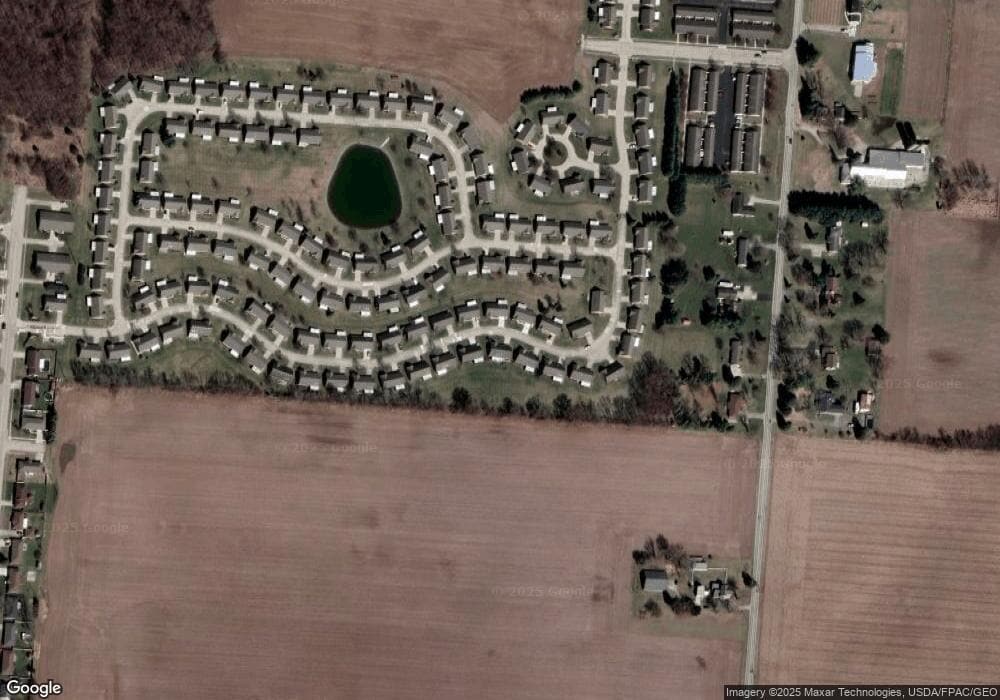
Map
Nearby Homes
- 1977 Willoughby Ave
- 5564 Ridgewood Rd E Unit 7
- 1495 Victorian Way
- 1398 Elizabeth Ct Unit 66
- 5564 Ridgewood Rd W
- 1521 Erika Dr
- 1470 Oldham Dr Unit 12
- 5033 Ridgewood Rd E
- 5235 W Ridgewood Rd
- 4890 Brannan Dr W Unit 4890
- 4732 Lehigh Dr
- 937 Willow Rd
- 4652 Reno Ln Unit 15
- 4802 Willowbrook Dr
- 4577 Reno Ln Unit 2
- 4741 Cullen Ave
- 5300 Brookshire Ln
- 4446 Ridgewood Rd E Unit 3
- 4733 Curtis Dr
- 335 Willow Rd
- 1823 Fox Ridge Dr E Unit 40
- 1835 Fox Ridge Dr E
- 1835 Fox Ridge Dr E Unit 39
- 1811 Fox Ridge Dr E
- 1826 Fox Ridge Dr E Unit 79
- 1826 Fox Ridge Dr E
- 1826 Fox Ridge Dr E
- 1832 Fox Ridge Dr E
- 1832 Fox Ridge Dr E
- 1818 Fox Ridge Dr E Unit 80
- 1818 Fox Ridge Dr E
- 1818 Fox Ridge Dr E
- 1818 Fox Ridge Dr E
- 1847 Fox Ridge Dr E Unit 38
- 1847 Fox Ridge Dr E
- 1842 Fox Ridge Dr E
- 1842 Fox Ridge Dr E Unit 77
- 1799 Fox Ridge Dr E
- 1806 Fox Ridge Dr E
- 1852 Fox Ridge Dr E Unit 76
Your Personal Tour Guide
Ask me questions while you tour the home.