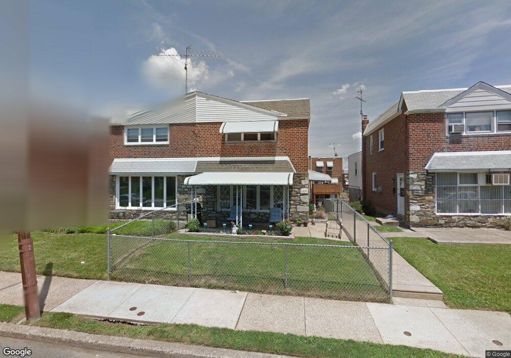
1823 Kendrick St Philadelphia, PA 19152
Rhawnhurst NeighborhoodEstimated Value: $341,709 - $444,000
4
Beds
1
Bath
1,656
Sq Ft
$228/Sq Ft
Est. Value
About This Home
This home is located at 1823 Kendrick St, Philadelphia, PA 19152 and is currently estimated at $377,177, approximately $227 per square foot. 1823 Kendrick St is a home located in Philadelphia County with nearby schools including Farrell Louis H School, Northeast High School, and Tacony Academy Charter School.
Ownership History
Date
Name
Owned For
Owner Type
Purchase Details
Closed on
Jul 23, 2004
Sold by
West Patricia M
Bought by
West Patricia M and Murphy Marie
Current Estimated Value
Home Financials for this Owner
Home Financials are based on the most recent Mortgage that was taken out on this home.
Original Mortgage
$140,000
Outstanding Balance
$69,667
Interest Rate
6.16%
Mortgage Type
New Conventional
Estimated Equity
$307,510
Purchase Details
Closed on
Sep 29, 1994
Sold by
Lerner Betty C
Bought by
West Patricia M
Create a Home Valuation Report for This Property
The Home Valuation Report is an in-depth analysis detailing your home's value as well as a comparison with similar homes in the area
Home Values in the Area
Average Home Value in this Area
Purchase History
| Date | Buyer | Sale Price | Title Company |
|---|---|---|---|
| West Patricia M | -- | -- | |
| West Patricia M | $85,000 | -- |
Source: Public Records
Mortgage History
| Date | Status | Borrower | Loan Amount |
|---|---|---|---|
| Open | West Patricia M | $140,000 |
Source: Public Records
Tax History Compared to Growth
Tax History
| Year | Tax Paid | Tax Assessment Tax Assessment Total Assessment is a certain percentage of the fair market value that is determined by local assessors to be the total taxable value of land and additions on the property. | Land | Improvement |
|---|---|---|---|---|
| 2025 | $3,327 | $319,800 | $63,960 | $255,840 |
| 2024 | $3,327 | $319,800 | $63,960 | $255,840 |
| 2023 | $3,327 | $237,700 | $47,540 | $190,160 |
| 2022 | $2,202 | $192,700 | $47,540 | $145,160 |
| 2021 | $2,832 | $0 | $0 | $0 |
| 2020 | $2,832 | $0 | $0 | $0 |
| 2019 | $2,578 | $0 | $0 | $0 |
| 2018 | $2,412 | $0 | $0 | $0 |
| 2017 | $2,412 | $0 | $0 | $0 |
| 2016 | $1,992 | $0 | $0 | $0 |
| 2015 | $1,907 | $0 | $0 | $0 |
| 2014 | -- | $172,300 | $39,600 | $132,700 |
| 2012 | -- | $24,576 | $3,680 | $20,896 |
Source: Public Records
Map
Nearby Homes
- 1716 Bergen St
- 1711 Kendrick St
- 1828 Megargee St
- 1700 Kendrick St
- 1712 Tustin St
- 1832 Mower St
- 1705 Solly Ave
- 8606 Frontenac St
- 8127 Langdon St
- 8614 Agusta St
- 1702 Arthur St
- 2155 Benson St
- 2162 Strahle St
- 8523 Benton Ave
- 8562 Benton Ave
- 1704 Stanwood St
- 2201 Strahle St Unit C302
- 8563 Benton Ave
- 1625 Rhawn St
- 1931 33 Rhawn St
- 1825 Kendrick St
- 1821 Kendrick St
- 1827 Kendrick St
- 1819 Kendrick St
- 1829 Kendrick St
- 1824 Bergen St
- 1817 Kendrick St
- 1822 Bergen St
- 1826 Bergen St
- 1820 Bergen St
- 1828 Bergen St
- 1818 Bergen St
- 1830 Bergen St
- 1831 Kendrick St
- 1816 Bergen St
- 1822 Kendrick St
- 1820 Kendrick St
- 1824 Kendrick St
- 1818 Kendrick St
- 1813 Kendrick St