1823 Lopez Way Point Roberts, WA 98281
Estimated Value: $268,665 - $350,000
1
Bed
1
Bath
814
Sq Ft
$386/Sq Ft
Est. Value
About This Home
This home is located at 1823 Lopez Way, Point Roberts, WA 98281 and is currently estimated at $314,416, approximately $386 per square foot. 1823 Lopez Way is a home located in Whatcom County with nearby schools including Point Roberts Primary School, Blaine Middle School, and Blaine High School.
Ownership History
Date
Name
Owned For
Owner Type
Purchase Details
Closed on
Jul 19, 2021
Sold by
Lalani Kelly Lynn
Bought by
Whitehouse Darren Raymond
Current Estimated Value
Purchase Details
Closed on
Apr 19, 2021
Sold by
Kelly-Lynn Lalani
Bought by
Whitehouse Darren Raymond
Purchase Details
Closed on
Mar 5, 2020
Sold by
Shintar and Olga
Bought by
Mcgarrity Samantha and Mcgarrity Craig
Purchase Details
Closed on
May 21, 2007
Sold by
Whitehouse Evaline M
Bought by
Whitehouse Evaline M and Whitehouse David W
Create a Home Valuation Report for This Property
The Home Valuation Report is an in-depth analysis detailing your home's value as well as a comparison with similar homes in the area
Home Values in the Area
Average Home Value in this Area
Purchase History
| Date | Buyer | Sale Price | Title Company |
|---|---|---|---|
| Whitehouse Darren Raymond | -- | None Available | |
| Whitehouse Darren Raymond | $313 | None Listed On Document | |
| Mcgarrity Samantha | $6,765,000 | Whatcom Land Title | |
| Whitehouse Evaline M | -- | None Available |
Source: Public Records
Tax History Compared to Growth
Tax History
| Year | Tax Paid | Tax Assessment Tax Assessment Total Assessment is a certain percentage of the fair market value that is determined by local assessors to be the total taxable value of land and additions on the property. | Land | Improvement |
|---|---|---|---|---|
| 2024 | $2,098 | $257,644 | $126,473 | $131,171 |
| 2023 | $2,098 | $246,146 | $114,975 | $131,171 |
| 2022 | $2,014 | $224,791 | $105,000 | $119,791 |
| 2021 | $2,006 | $195,360 | $100,320 | $95,040 |
| 2020 | $1,999 | $180,887 | $92,888 | $87,999 |
| 2019 | $1,858 | $173,511 | $89,100 | $84,411 |
| 2018 | $1,721 | $155,985 | $80,100 | $75,885 |
| 2017 | $1,493 | $148,974 | $76,500 | $72,474 |
| 2016 | $1,620 | $146,053 | $75,000 | $71,053 |
| 2015 | $1,723 | $154,215 | $77,288 | $76,927 |
| 2014 | -- | $161,221 | $80,800 | $80,421 |
| 2013 | -- | $154,343 | $77,600 | $76,743 |
Source: Public Records
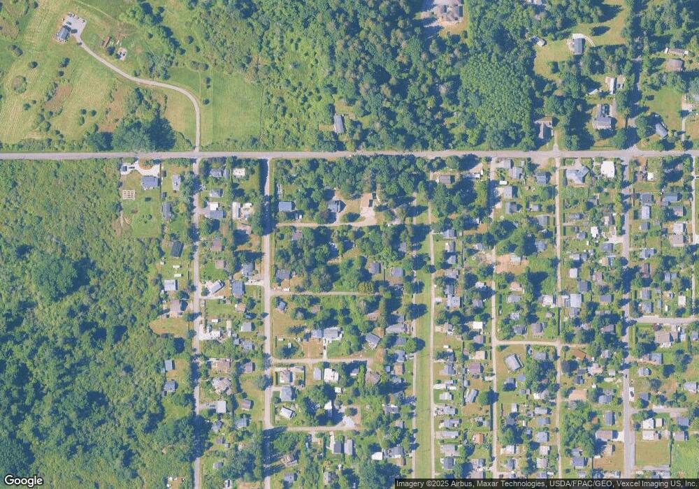
Map
Nearby Homes
- 1927 Orcas View Way
- 1920 Patos Way
- 634 S Beach Rd
- 1911 Apa Rd
- 661 Driftwood Ln
- 1881 Edwards Dr
- 1934 Waters Rd
- 698 Kendor Dr
- 1940 Apa Rd
- 675 Sylvia Dr
- 1976 Cedar Park Dr
- 0 6 39 Acres South Beach Rd
- lot 14 Cedar Park Dr Unit 14
- 2045 Apa Rd
- 2 Benson Rd
- Lot 2 Greenwood Dr
- Lot 3 Edwards Dr
- 19 Harbor Seal Dr
- 1587 Harbor Seal Dr
- 8 Heather Way
- 1921 Lopez Way
- 1934 Orcas Way
- 0 Lot 70 Lopez Way
- 1930 Lopez Way
- 1922 Lopez Way
- 619 Bells Grove
- 1920 Orcas Way
- 635 Bells Grove
- 615 Bells Grove
- 624 Largaud Dr
- 639 Bells Grove
- 613 Bells Grove
- 636 Largaud Dr
- 1910 Lopez Way
- 1931 Orcas Way
- 0 Apa-Lot 2 Rd Unit NWM2170313
- 1919 Orcas Way
- 647 Bells Grove
- 642 Largaud Dr
- 0 Apa-Lot 1 Rd Unit NWM2170305