Estimated Value: $100,651
--
Bed
--
Bath
4,613
Sq Ft
$22/Sq Ft
Est. Value
About This Home
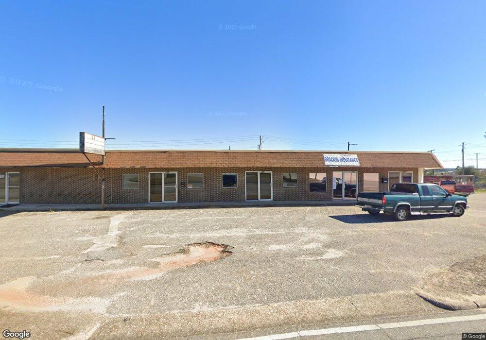
This home is located at 1823 S Union Ave, Ozark, AL 36360 and is currently estimated at $100,651, approximately $21 per square foot. 1823 S Union Ave is a home located in Dale County with nearby schools including Lisenby Primary School, Mixon Intermediate School, and D. A. Smith Middle School.
Ownership History
Date
Name
Owned For
Owner Type
Purchase Details
Closed on
Jan 5, 2022
Sold by
Ward Leon A
Bought by
Jones Alisha and Jones Richard
Current Estimated Value
Home Financials for this Owner
Home Financials are based on the most recent Mortgage that was taken out on this home.
Original Mortgage
$69,891
Outstanding Balance
$54,998
Interest Rate
2.34%
Mortgage Type
New Conventional
Estimated Equity
$45,653
Create a Home Valuation Report for This Property
The Home Valuation Report is an in-depth analysis detailing your home's value as well as a comparison with similar homes in the area
Home Values in the Area
Average Home Value in this Area
Purchase History
| Date | Buyer | Sale Price | Title Company |
|---|---|---|---|
| Jones Alisha | $82,500 | None Listed On Document |
Source: Public Records
Mortgage History
| Date | Status | Borrower | Loan Amount |
|---|---|---|---|
| Open | Jones Alisha | $69,891 |
Source: Public Records
Tax History Compared to Growth
Tax History
| Year | Tax Paid | Tax Assessment Tax Assessment Total Assessment is a certain percentage of the fair market value that is determined by local assessors to be the total taxable value of land and additions on the property. | Land | Improvement |
|---|---|---|---|---|
| 2024 | $1,765 | $34,960 | $3,000 | $31,960 |
| 2023 | $1,765 | $34,960 | $3,000 | $31,960 |
| 2022 | $1,418 | $28,080 | $3,000 | $25,080 |
| 2021 | $1,418 | $28,080 | $3,000 | $25,080 |
| 2020 | $1,418 | $28,080 | $3,000 | $25,080 |
| 2019 | $1,418 | $28,080 | $3,000 | $25,080 |
| 2018 | $1,027 | $20,340 | $3,000 | $17,340 |
| 2017 | $1,027 | $20,340 | $3,000 | $17,340 |
| 2016 | $1,027 | $20,340 | $3,000 | $17,340 |
| 2015 | $1,027 | $20,340 | $3,000 | $17,340 |
| 2014 | $1,012 | $20,040 | $3,000 | $17,040 |
| 2013 | $1,002 | $20,040 | $3,000 | $17,040 |
Source: Public Records
Map
Nearby Homes
- 480 Gunter St
- 252 Del Rio Terrace
- 0 Del Rio Terrace
- 0 Briar Cliff Rd Lot 5 Bk E
- 0 Briar Cliff Dr Lot 1 Blk D
- 729 Pine Ave
- 13.35 Acres U S 231
- 4.3 Acres U S 231
- 1.5 Acres U S 231
- 1.144 Acres S Highway 231
- 1425 Lakeview Rd
- 00 Lot 9 & 10 Sandy Hill
- 166 Garner Dr
- 876 Camilla Ave
- 00
- 240 Bradford Dr
- 179 Dixie Dr
- 0 Deese Rd
- 152 Short Pine Ave
- 236 Choctaw Ave
- 1621 S Union Ave
- 1690 S Union Ave
- 0 Parker Ave
- 1659 S Union Ave
- 121 Fair Ave
- 1639 S Union Ave
- 126 Fair Ave
- 810 Matthews Ave
- 155 Fair Ave
- 1561 S Union Ave
- 1024 Matthews Ave
- 1626 S Union Ave
- 2912 S Us Highway 231
- 1601 S Union Ave
- 1231 S Union Ave
- 397 Claybank Ave
- 1010 Matthews Ave
- 228 Gunter St
- 110 Valentine St
- 242 Gunter St