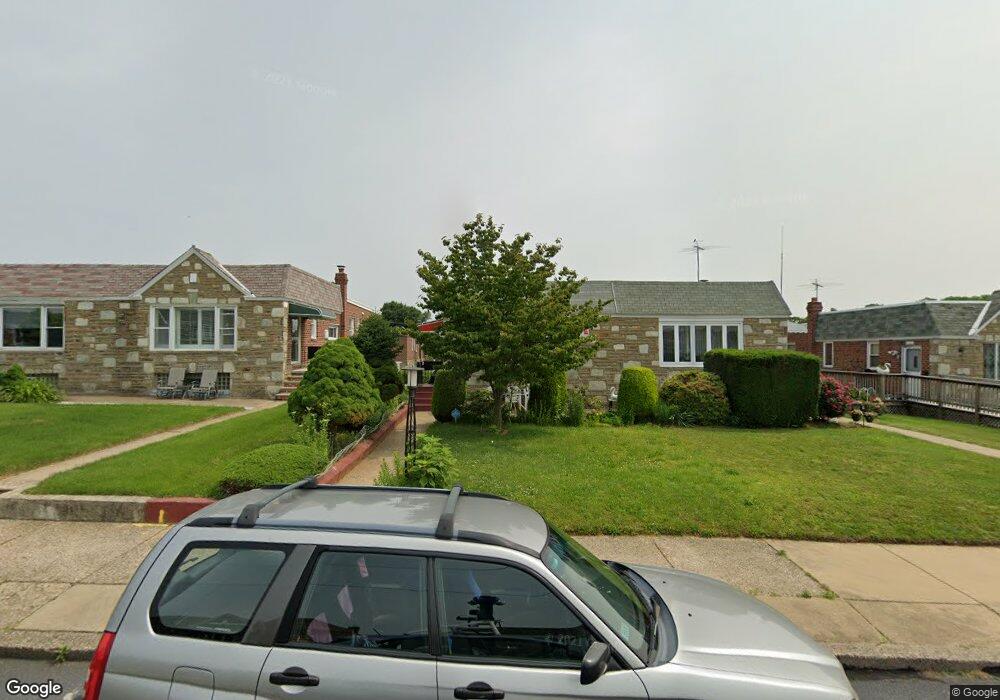
1823 Tolbut St Philadelphia, PA 19152
Rhawnhurst NeighborhoodEstimated Value: $306,000 - $363,000
3
Beds
3
Baths
1,104
Sq Ft
$302/Sq Ft
Est. Value
About This Home
This home is located at 1823 Tolbut St, Philadelphia, PA 19152 and is currently estimated at $333,230, approximately $301 per square foot. 1823 Tolbut St is a home located in Philadelphia County with nearby schools including Farrell Louis H School, Northeast High School, and Tacony Academy Charter School.
Ownership History
Date
Name
Owned For
Owner Type
Purchase Details
Closed on
Jan 20, 2003
Sold by
Kellenbenz Joanne and Will Of Ernestine J Citrone
Bought by
Brisky Thomas and Brisky Patricia
Current Estimated Value
Home Financials for this Owner
Home Financials are based on the most recent Mortgage that was taken out on this home.
Original Mortgage
$131,857
Outstanding Balance
$56,129
Interest Rate
5.99%
Mortgage Type
FHA
Estimated Equity
$277,101
Purchase Details
Closed on
Apr 19, 1995
Sold by
Citrone Daniel L and Kramer Rita
Bought by
Citrone Ernestine J
Create a Home Valuation Report for This Property
The Home Valuation Report is an in-depth analysis detailing your home's value as well as a comparison with similar homes in the area
Home Values in the Area
Average Home Value in this Area
Purchase History
| Date | Buyer | Sale Price | Title Company |
|---|---|---|---|
| Brisky Thomas | $132,900 | -- | |
| Citrone Ernestine J | -- | -- |
Source: Public Records
Mortgage History
| Date | Status | Borrower | Loan Amount |
|---|---|---|---|
| Open | Brisky Thomas | $131,857 |
Source: Public Records
Tax History Compared to Growth
Tax History
| Year | Tax Paid | Tax Assessment Tax Assessment Total Assessment is a certain percentage of the fair market value that is determined by local assessors to be the total taxable value of land and additions on the property. | Land | Improvement |
|---|---|---|---|---|
| 2025 | $3,269 | $294,500 | $58,900 | $235,600 |
| 2024 | $3,269 | $294,500 | $58,900 | $235,600 |
| 2023 | $3,269 | $233,500 | $46,700 | $186,800 |
| 2022 | $2,061 | $188,500 | $46,700 | $141,800 |
| 2021 | $2,690 | $0 | $0 | $0 |
| 2020 | $2,690 | $0 | $0 | $0 |
| 2019 | $2,450 | $0 | $0 | $0 |
| 2018 | $2,357 | $0 | $0 | $0 |
| 2017 | $2,357 | $0 | $0 | $0 |
| 2016 | $1,937 | $0 | $0 | $0 |
| 2015 | $1,855 | $0 | $0 | $0 |
| 2014 | -- | $168,400 | $56,945 | $111,455 |
| 2012 | -- | $22,176 | $5,397 | $16,779 |
Source: Public Records
Map
Nearby Homes
- 8606 Frontenac St
- 1832 Mower St
- 1834 Mower St
- 8614 Agusta St
- 8562 Benton Ave
- 8563 Benton Ave
- 1907 Tustin St
- 1712 Tustin St
- 1828 Megargee St
- 8523 Benton Ave
- 1608 Colima Rd
- 1716 Bergen St
- 1711 Kendrick St
- 9117 Bustleton Ave
- 8816 Bradford St
- 1700 Kendrick St
- 1611 Gregg St
- 8870 Alton St
- 8910 Krewstown Rd Unit 111
- 8950 Krewstown Rd Unit 204
- 1825 Tolbut St
- 1821 Tolbut St
- 1827 Tolbut St
- 1817 Tolbut St
- 1829 Tolbut St
- 1822 Carwithan St
- 1824 Carwithan St
- 1820 Carwithan St
- 1815 Tolbut St
- 1831 Tolbut St
- 1826 Carwithan St
- 1818 Carwithan St
- 1828 Carwithan St
- 1816 Carwithan St
- 1813 Tolbut St
- 1833 Tolbut St
- 1822 Tolbut St
- 1824 Tolbut St
- 1820 Tolbut St
- 1830 Carwithan St