18231 S Munson Rd Molalla, OR 97038
Estimated Value: $588,000 - $1,339,839
3
Beds
1
Bath
2,020
Sq Ft
$467/Sq Ft
Est. Value
About This Home
This home is located at 18231 S Munson Rd, Molalla, OR 97038 and is currently estimated at $943,280, approximately $466 per square foot. 18231 S Munson Rd is a home located in Clackamas County with nearby schools including Colton Elementary School, Colton Middle School, and Colton High School.
Ownership History
Date
Name
Owned For
Owner Type
Purchase Details
Closed on
Apr 3, 2003
Sold by
Ray A Schoppert Logging Inc
Bought by
Baker Matthew M and Baker Silvi
Current Estimated Value
Home Financials for this Owner
Home Financials are based on the most recent Mortgage that was taken out on this home.
Original Mortgage
$152,000
Outstanding Balance
$64,867
Interest Rate
5.78%
Estimated Equity
$878,413
Purchase Details
Closed on
Mar 14, 2002
Sold by
Maloy Neiland F
Bought by
Ray A Schoppert Logging Inc
Create a Home Valuation Report for This Property
The Home Valuation Report is an in-depth analysis detailing your home's value as well as a comparison with similar homes in the area
Purchase History
| Date | Buyer | Sale Price | Title Company |
|---|---|---|---|
| Baker Matthew M | $160,000 | First Amer Title Ins Co Of O | |
| Ray A Schoppert Logging Inc | $183,500 | First American Title Ins Co |
Source: Public Records
Mortgage History
| Date | Status | Borrower | Loan Amount |
|---|---|---|---|
| Open | Baker Matthew M | $152,000 |
Source: Public Records
Tax History
| Year | Tax Paid | Tax Assessment Tax Assessment Total Assessment is a certain percentage of the fair market value that is determined by local assessors to be the total taxable value of land and additions on the property. | Land | Improvement |
|---|---|---|---|---|
| 2025 | $8,290 | $686,438 | -- | -- |
| 2024 | $8,315 | $666,445 | -- | -- |
| 2023 | $8,315 | $637,236 | -- | -- |
| 2022 | $7,066 | $568,976 | $0 | $0 |
| 2021 | $6,153 | $504,698 | $0 | $0 |
| 2020 | $5,178 | $423,494 | $0 | $0 |
| 2019 | $4,184 | $341,169 | $0 | $0 |
| 2018 | $4,085 | $331,232 | $0 | $0 |
| 2017 | $3,847 | $321,584 | $0 | $0 |
| 2016 | $3,679 | $312,217 | $0 | $0 |
| 2015 | $3,817 | $329,553 | $0 | $0 |
| 2014 | $3,003 | $272,045 | $0 | $0 |
Source: Public Records
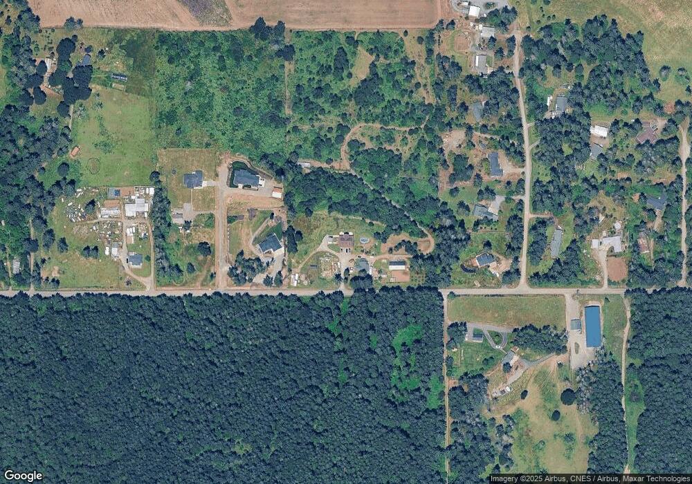
Map
Nearby Homes
- 19221 S Munson Rd
- 30500 S Deardorff Rd
- 19345 S Rockney Rd
- 16454 S Highway 211
- 19400 S Frank Rd
- 30142 S Meadowbrook Ln
- 15706 S Highway 211
- 30725 S Wall St
- 29358 S Salo Rd
- 30965 S Wall St
- 15047 S MacKsburg Rd
- 16302 S Union Mills Rd
- 28107 S Gard Rd
- 708 E Heintz St
- 735 Garden Ct
- 28381 S Salo Rd
- 218 Finneys Ave
- 821 E 7th St
- 128 Finneys Ave
- 800 Mathias Ct
- 0 S Henacres Dr
- 31462 S Stone Creek Ln
- 31388 S Stone Creek Ln
- 0 Stonecreek Ln Unit 3 20517283
- 0 Stonecreek Ln Unit 2 20663417
- 0 Stonecreek Ln Unit 1 20387052
- 31431 S Long Fir Ct
- 31475 S Long Fir Ct
- 18125 S Munson Rd
- 31453 S Stone Creek Ln
- 31345 S Long Fir Ct
- 31550 S Henacres Dr
- 18093 S Munson Rd
- 31443 S Long Fir Ct
- 31325 S Long Fir Ct
- 31370 S Long Fir Ct
- 18377 S Munson Rd
- 31394 S Long Fir Ct
- 31300 S Long Fir Ct
- 31437 S Littlefir Dr
Your Personal Tour Guide
Ask me questions while you tour the home.