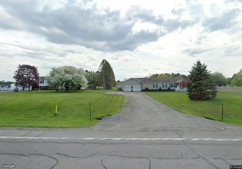
18236 State Route 12e Dexter, NY 13634
Estimated Value: $230,000 - $301,000
3
Beds
2
Baths
1,920
Sq Ft
$134/Sq Ft
Est. Value
About This Home
This home is located at 18236 State Route 12e, Dexter, NY 13634 and is currently estimated at $257,684, approximately $134 per square foot. 18236 State Route 12e is a home located in Jefferson County with nearby schools including General Brown Junior/Senior High School.
Ownership History
Date
Name
Owned For
Owner Type
Purchase Details
Closed on
Jun 30, 2020
Sold by
Montrois Lise T
Bought by
Powers Christine A
Current Estimated Value
Purchase Details
Closed on
Nov 21, 2016
Sold by
Montrois Lise T
Bought by
Montrois James
Purchase Details
Closed on
Jun 29, 2015
Sold by
Montrois Karen L
Bought by
Montrois Lise
Purchase Details
Closed on
Jul 24, 2009
Sold by
Montrois James
Bought by
Montrois Karen
Create a Home Valuation Report for This Property
The Home Valuation Report is an in-depth analysis detailing your home's value as well as a comparison with similar homes in the area
Home Values in the Area
Average Home Value in this Area
Purchase History
| Date | Buyer | Sale Price | Title Company |
|---|---|---|---|
| Powers Christine A | -- | None Available | |
| Montrois James | -- | -- | |
| Montrois Lise | -- | Catherine Burns Quencer | |
| Montrois Karen | -- | Catherine Burns Quencer |
Source: Public Records
Tax History
| Year | Tax Paid | Tax Assessment Tax Assessment Total Assessment is a certain percentage of the fair market value that is determined by local assessors to be the total taxable value of land and additions on the property. | Land | Improvement |
|---|---|---|---|---|
| 2024 | $3,051 | $138,500 | $21,000 | $117,500 |
| 2023 | $3,112 | $138,500 | $21,000 | $117,500 |
| 2022 | $3,114 | $138,500 | $21,000 | $117,500 |
| 2021 | $3,057 | $138,500 | $21,000 | $117,500 |
| 2020 | $2,914 | $138,500 | $21,000 | $117,500 |
| 2019 | $2,841 | $138,500 | $21,000 | $117,500 |
| 2018 | $2,841 | $138,500 | $21,000 | $117,500 |
| 2017 | $2,951 | $138,500 | $21,000 | $117,500 |
| 2016 | $2,583 | $136,000 | $21,000 | $115,000 |
| 2015 | -- | $85,000 | $14,300 | $70,700 |
| 2014 | -- | $79,000 | $14,700 | $64,300 |
Source: Public Records
Map
Nearby Homes
- 17045 State Route 12f
- 23610 Fetterly Rd
- 219-221 W Main St
- 328 Brown Blvd
- 23794 County Route 54
- 214 E Bronson St
- 107 W Kirby St
- 203 Lakeview Dr
- 20207 Reasoner Rd
- 18289 State Route 3
- 518 Main St
- 23960 White Rd
- 0 Spruce Cresent
- 0 State Route 3 Unit 13555497
- 226 Wealtha Ave
- 20304 Burton Rd
- 126 Casey St
- 130 Casey St
- 21349 Storrs Rd
- 148 Duffy St
- 18206 State Route 12e
- 18252 State Route 12e
- 18252 State Route 12e
- 18284 State Route 12e
- 18296 State Route 12e
- 18182 State Route 12e
- 18338 State Route 12e
- 18356 State Route 12e
- 18370 State Route 12e
- 18382 State Route 12e
- 18400 State Route 12e
- 18422 State Route 12e
- 18462 State Route 12e
- 17902 State Route 12e
- 23430 Turkey Hollow Dr
- 18468 State Route 12e
- 23235 Butts Rd
- 23431 Turkey Hollow Dr
- 23276 Butts Rd
- 18486 State Route 12e
Your Personal Tour Guide
Ask me questions while you tour the home.