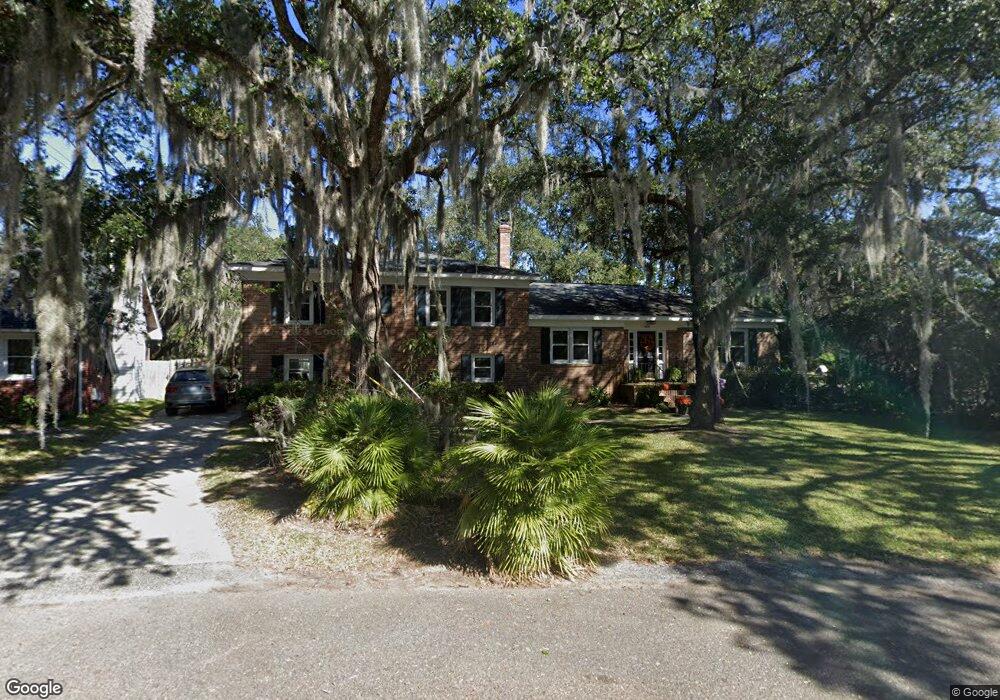
1824 Alice Dr Charleston, SC 29407
West Ashley NeighborhoodEstimated Value: $722,000 - $791,000
3
Beds
2
Baths
1,968
Sq Ft
$380/Sq Ft
Est. Value
About This Home
This home is located at 1824 Alice Dr, Charleston, SC 29407 and is currently estimated at $747,392, approximately $379 per square foot. 1824 Alice Dr is a home located in Charleston County with nearby schools including Stono Park Elementary School, West Ashley High School, and Carolina Voyager Charter.
Ownership History
Date
Name
Owned For
Owner Type
Purchase Details
Closed on
Mar 6, 2000
Sold by
Hard Julian A and Hard Julia A
Bought by
Brown Rosemary L
Current Estimated Value
Create a Home Valuation Report for This Property
The Home Valuation Report is an in-depth analysis detailing your home's value as well as a comparison with similar homes in the area
Home Values in the Area
Average Home Value in this Area
Purchase History
| Date | Buyer | Sale Price | Title Company |
|---|---|---|---|
| Brown Rosemary L | -- | -- |
Source: Public Records
Tax History Compared to Growth
Tax History
| Year | Tax Paid | Tax Assessment Tax Assessment Total Assessment is a certain percentage of the fair market value that is determined by local assessors to be the total taxable value of land and additions on the property. | Land | Improvement |
|---|---|---|---|---|
| 2024 | $2,380 | $13,940 | $0 | $0 |
| 2023 | $2,380 | $13,940 | $0 | $0 |
| 2022 | $2,263 | $13,940 | $0 | $0 |
| 2021 | $2,339 | $13,940 | $0 | $0 |
| 2020 | $2,366 | $13,940 | $0 | $0 |
| 2019 | $2,040 | $12,120 | $0 | $0 |
| 2017 | $1,933 | $12,120 | $0 | $0 |
| 2016 | $1,855 | $12,120 | $0 | $0 |
| 2015 | $1,886 | $12,120 | $0 | $0 |
| 2014 | $1,622 | $0 | $0 | $0 |
| 2011 | -- | $0 | $0 | $0 |
Source: Public Records
Map
Nearby Homes
- 1866 Capri Dr
- 185 Wappoo Rd
- 9 Sallys Alley
- 244 Marsh Oaks Dr
- 375 Hoff Ave
- 323 Millcreek Dr
- 132 River Breeze Dr Unit M132
- 344 Lantana Dr
- 363 Timothy St
- 439 Geddes Ave
- 413 Hoff Ave
- 2007 Boeing Ave
- 447 Geddes Ave
- 198 River Breeze Dr Unit 75
- 339 Cabell St
- 205 River Breeze Dr Unit A205
- 511 Mansfield St
- 301 Culver Ave
- 233 Lands End Dr Unit T233
- 396 Culver Ave