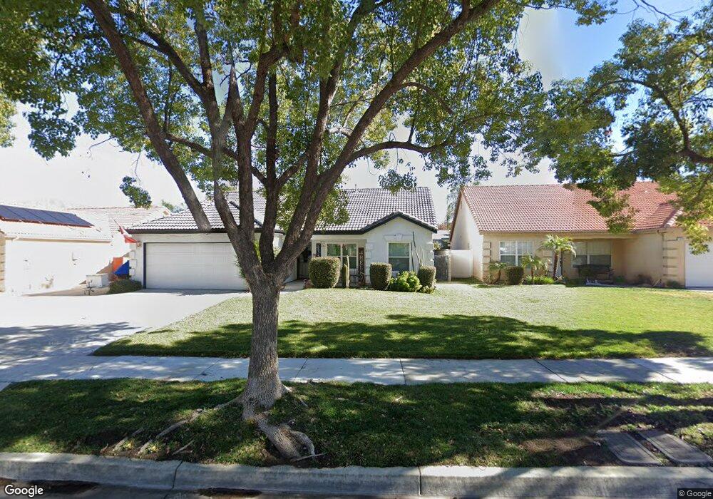
1824 Brookstone St Redlands, CA 92374
North Redlands NeighborhoodEstimated Value: $618,000 - $693,000
3
Beds
2
Baths
1,320
Sq Ft
$495/Sq Ft
Est. Value
About This Home
This home is located at 1824 Brookstone St, Redlands, CA 92374 and is currently estimated at $653,064, approximately $494 per square foot. 1824 Brookstone St is a home located in San Bernardino County with nearby schools including Lugonia Elementary School, Clement Middle School, and Citrus Valley High School.
Ownership History
Date
Name
Owned For
Owner Type
Purchase Details
Closed on
Mar 11, 2026
Sold by
Sue Aponte and Aponte Cathy S
Bought by
Catherine Sue Aponte Living Trust and Aponte
Current Estimated Value
Purchase Details
Closed on
Jul 2, 2002
Sold by
Ramirez Antonio B and Ramirez Rhonda E
Bought by
Aponte Reuben G and Aponte Cathy S
Home Financials for this Owner
Home Financials are based on the most recent Mortgage that was taken out on this home.
Original Mortgage
$140,000
Interest Rate
6.7%
Purchase Details
Closed on
Dec 15, 1998
Sold by
Gardner Construction & Development Inc
Bought by
Ramirez Antonio B and Ramirez Rhonda E
Home Financials for this Owner
Home Financials are based on the most recent Mortgage that was taken out on this home.
Original Mortgage
$132,206
Interest Rate
6.86%
Mortgage Type
FHA
Create a Home Valuation Report for This Property
The Home Valuation Report is an in-depth analysis detailing your home's value as well as a comparison with similar homes in the area
Home Values in the Area
Average Home Value in this Area
Purchase History
| Date | Buyer | Sale Price | Title Company |
|---|---|---|---|
| Catherine Sue Aponte Living Trust | -- | None Listed On Document | |
| Aponte Reuben G | $195,000 | United Title Company | |
| Ramirez Antonio B | $134,000 | First American Title Ins Co |
Source: Public Records
Mortgage History
| Date | Status | Borrower | Loan Amount |
|---|---|---|---|
| Previous Owner | Aponte Reuben G | $140,000 | |
| Previous Owner | Ramirez Antonio B | $132,206 |
Source: Public Records
Tax History
| Year | Tax Paid | Tax Assessment Tax Assessment Total Assessment is a certain percentage of the fair market value that is determined by local assessors to be the total taxable value of land and additions on the property. | Land | Improvement |
|---|---|---|---|---|
| 2025 | $3,886 | $316,563 | $70,607 | $245,956 |
| 2024 | $3,630 | $310,356 | $69,223 | $241,133 |
| 2023 | $3,624 | $304,271 | $67,866 | $236,405 |
| 2022 | $3,570 | $298,305 | $66,535 | $231,770 |
| 2021 | $3,714 | $292,455 | $65,230 | $227,225 |
| 2020 | $3,666 | $289,456 | $64,561 | $224,895 |
| 2019 | $3,564 | $283,780 | $63,295 | $220,485 |
| 2018 | $3,476 | $278,216 | $62,054 | $216,162 |
| 2017 | $3,083 | $243,347 | $60,836 | $182,511 |
| 2016 | $3,048 | $238,575 | $59,643 | $178,932 |
| 2015 | $3,028 | $234,991 | $58,747 | $176,244 |
| 2014 | $2,972 | $230,388 | $57,596 | $172,792 |
Source: Public Records
Map
Nearby Homes
- 122 E Pioneer Ave
- 227 Mulvihill Ave
- 1602 Glover St
- 140 W Pioneer Ave Unit 38
- 140 W Pioneer Ave Unit 31
- 1076 Occidental Cir
- 1539 Robyn St
- 1084 Tangerine Dr
- 1011 Gail Ave
- 1429 Berkeley Dr
- 1802 Pummelo Dr
- 1543 Hanford St
- 833 Half Moon Ave
- 610 E Lugonia Ave Unit 4
- 1323 Kingswood Dr
- 1225 Alta St
- 1412 Medallion St
- 1237 Sherry Way
- 215 W Lugonia Ave
- 853 Railway Ln
- 1828 Brookstone St
- 1820 Brookstone St
- 1832 Brookstone St
- 1816 Brookstone St
- 1863 Kingsbury Dr
- 1867 Kingsbury Dr
- 1859 Kingsbury Dr
- 1871 Kingsbury Dr
- 1836 Brookstone St
- 1812 Brookstone St
- 1827 Brookstone St
- 1823 Brookstone St
- 1831 Brookstone St
- 1903 Kingsbury Dr
- 1819 Brookstone St
- 1855 Kingsbury Dr
- 1840 Brookstone St
- 1835 Brookstone St
- 1808 Brookstone St
- 1815 Brookstone St
Your Personal Tour Guide
Ask me questions while you tour the home.