1824 Defoor Rd Toccoa, GA 30577
Estimated Value: $64,271 - $170,000
Studio
--
Bath
--
Sq Ft
198,634
Sq Ft Lot
About This Home
This home is located at 1824 Defoor Rd, Toccoa, GA 30577 and is currently estimated at $137,818. 1824 Defoor Rd is a home with nearby schools including Stephens County High School.
Ownership History
Date
Name
Owned For
Owner Type
Purchase Details
Closed on
Jun 3, 2010
Sold by
Timberlock Development Llc
Bought by
Richie Thomas R
Current Estimated Value
Home Financials for this Owner
Home Financials are based on the most recent Mortgage that was taken out on this home.
Original Mortgage
$35,000
Interest Rate
4.97%
Mortgage Type
New Conventional
Purchase Details
Closed on
Apr 10, 2007
Sold by
Not Provided
Bought by
Richie Thomas R
Purchase Details
Closed on
Mar 1, 1998
Bought by
<Buyer Info Not Present>
Create a Home Valuation Report for This Property
The Home Valuation Report is an in-depth analysis detailing your home's value as well as a comparison with similar homes in the area
Purchase History
| Date | Buyer | Sale Price | Title Company |
|---|---|---|---|
| Richie Thomas R | $25,000 | -- | |
| Richie Thomas R | -- | -- | |
| <Buyer Info Not Present> | $98,000 | -- |
Source: Public Records
Mortgage History
| Date | Status | Borrower | Loan Amount |
|---|---|---|---|
| Closed | Richie Thomas R | $35,000 |
Source: Public Records
Tax History
| Year | Tax Paid | Tax Assessment Tax Assessment Total Assessment is a certain percentage of the fair market value that is determined by local assessors to be the total taxable value of land and additions on the property. | Land | Improvement |
|---|---|---|---|---|
| 2025 | $303 | $11,048 | $8,467 | $2,581 |
| 2024 | $278 | $9,131 | $8,467 | $664 |
| 2023 | $272 | $9,131 | $8,467 | $664 |
| 2022 | $272 | $9,131 | $8,467 | $664 |
| 2021 | $288 | $9,222 | $8,467 | $755 |
| 2020 | $291 | $9,222 | $8,467 | $755 |
| 2019 | $292 | $9,222 | $8,467 | $755 |
| 2018 | $269 | $8,467 | $8,467 | $0 |
| 2017 | -- | $8,467 | $8,467 | $0 |
| 2016 | $268 | $8,467 | $8,467 | $0 |
| 2015 | -- | $8,467 | $8,467 | $0 |
| 2014 | -- | $8,467 | $8,467 | $0 |
Source: Public Records
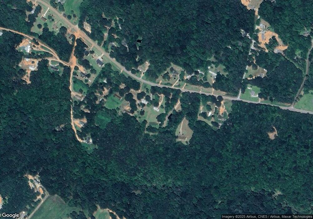
Map
Nearby Homes
- 3.35 ACRES Keener Rd
- 2986 Defoor Rd
- 900 Defoor Rd
- 0 Scott Rd Unit 10702484
- 451 Defoor Rd
- 0 Hickory Log Cir Unit 7723744
- 0 Hickory Log Cir Unit 7723737
- 0 Hickory Log Cir Unit 10696877
- 0 Hickory Log Cir Unit 10696890
- 0 Hickory Log Cir Unit CL349707
- 0 Hickory Log Cir Unit 10696864
- 0 Hickory Log Cir Unit 7723742
- 0 Hickory Log Cir Unit CL349704
- 0 Hickory Log Cir Unit CL349705
- 0 Davis Rd Unit 10694033
- 290 Indian Dr
- 46 Cedar Ridge Dr
- 513 S Red Rock Rd
- 75 Country View Dr
- 219 Eastanollee Rd
Your Personal Tour Guide
Ask me questions while you tour the home.