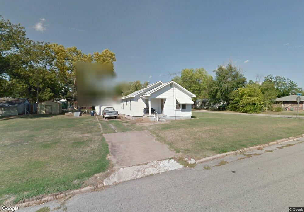
1824 E 10th St Shawnee, OK 74801
Estimated Value: $72,000 - $106,000
3
Beds
1
Bath
1,152
Sq Ft
$80/Sq Ft
Est. Value
About This Home
This home is located at 1824 E 10th St, Shawnee, OK 74801 and is currently estimated at $92,683, approximately $80 per square foot. 1824 E 10th St is a home located in Pottawatomie County with nearby schools including Horace Mann Elementary School, Shawnee Middle School, and Shawnee High School.
Ownership History
Date
Name
Owned For
Owner Type
Purchase Details
Closed on
Oct 5, 2022
Sold by
Ashworth Bill J and Ashworth Addileen
Bought by
Gibson Betty and Kreie Edith
Current Estimated Value
Purchase Details
Closed on
Feb 13, 2015
Sold by
Ashworth Addileen N
Bought by
Liv Bill J and Liv Addileen Ashworth Revocable
Purchase Details
Closed on
Feb 1, 2005
Sold by
Drake Kermit and Drake Leona
Bought by
Drake Kermit E and Drake Leona M
Create a Home Valuation Report for This Property
The Home Valuation Report is an in-depth analysis detailing your home's value as well as a comparison with similar homes in the area
Purchase History
| Date | Buyer | Sale Price | Title Company |
|---|---|---|---|
| Gibson Betty | $85,000 | Firstitle & Abstract Services | |
| Liv Bill J | -- | None Available | |
| Drake Kermit E | -- | None Available |
Source: Public Records
Tax History
| Year | Tax Paid | Tax Assessment Tax Assessment Total Assessment is a certain percentage of the fair market value that is determined by local assessors to be the total taxable value of land and additions on the property. | Land | Improvement |
|---|---|---|---|---|
| 2025 | $602 | $7,821 | $2,100 | $5,721 |
| 2024 | $819 | $7,844 | $2,034 | $5,810 |
| 2023 | $819 | $7,844 | $2,100 | $5,744 |
| 2022 | $438 | $4,272 | $1,490 | $2,782 |
| 2021 | $410 | $4,272 | $1,490 | $2,782 |
| 2020 | $392 | $3,875 | $1,345 | $2,530 |
| 2019 | $385 | $3,690 | $1,258 | $2,432 |
| 2018 | $360 | $3,515 | $1,199 | $2,316 |
| 2017 | $338 | $3,347 | $1,146 | $2,201 |
| 2016 | $325 | $3,188 | $1,083 | $2,105 |
| 2015 | $104 | $3,036 | $770 | $2,266 |
| 2014 | $104 | $3,036 | $770 | $2,266 |
Source: Public Records
Map
Nearby Homes
- 1416 E 9th St
- 703 N Roosevelt Ave
- 1330 E Main St
- 1330 E Whittaker St
- 1313 E Whittaker St
- 301 Clubhouse Dr
- 2305 E Main St
- 648 N Cleveland Ave
- 321 S Lindale Ave
- 1337 E Margaret St
- 1327 E Fay St
- 911 N Pesotum Ave
- 1322 E Margaret St
- 1314 E Margaret St
- 1207 E 10th St
- 1824 E Remington St
- 2310 Lakeside Cir
- 1 Country Club Rd
- 1119 E 11th St
- 0 E Fay St
- 314 N Tenbrook Ave
- 312 N Tenbrook Ave
- 318 N Tenbrook Ave
- 311 N Tenbrook Ave
- 1802 E 10th St
- 1825 E 10th St
- 315 N Tenbrook Ave
- 1902 E 10th St
- 311 N Roosevelt Ave
- 208 N Tenbrook Ave
- 223 N Roosevelt Ave
- 1907 E 10th St
- 205 N Tenbrook Ave
- 329 N Roosevelt Ave
- 1815 E 11th St
- 101 Cedar Creek Ln
- 100 Cedar Creek Ln
- 325 N Tenbrook Ave
- 1911 E 10th St
- 316 N Roosevelt Ave
Your Personal Tour Guide
Ask me questions while you tour the home.