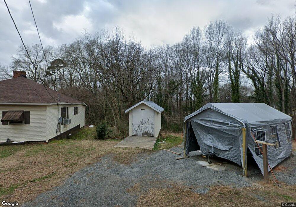
1824 Michael St Gastonia, NC 28054
Estimated Value: $178,000
2
Beds
1
Bath
1,000
Sq Ft
$178/Sq Ft
Est. Value
About This Home
This home is located at 1824 Michael St, Gastonia, NC 28054 and is currently estimated at $178,000, approximately $178 per square foot. 1824 Michael St is a home located in Gaston County with nearby schools including Brookside Elementary School, Holbrook Middle School, and North Gaston High School.
Ownership History
Date
Name
Owned For
Owner Type
Purchase Details
Closed on
Feb 28, 2017
Sold by
Campbell Ernest Eugene and Campbell Tressa G
Bought by
Mcmullen Erik Vincent and Mcmullen Nichole Campbell
Current Estimated Value
Purchase Details
Closed on
Sep 29, 1999
Sold by
Hill Sadie
Bought by
Campbell Ernest Eugene and Campbell Tressa G
Home Financials for this Owner
Home Financials are based on the most recent Mortgage that was taken out on this home.
Original Mortgage
$39,500
Interest Rate
7.89%
Create a Home Valuation Report for This Property
The Home Valuation Report is an in-depth analysis detailing your home's value as well as a comparison with similar homes in the area
Home Values in the Area
Average Home Value in this Area
Purchase History
| Date | Buyer | Sale Price | Title Company |
|---|---|---|---|
| Mcmullen Erik Vincent | -- | None Available | |
| Campbell Ernest Eugene | $10,500 | -- |
Source: Public Records
Mortgage History
| Date | Status | Borrower | Loan Amount |
|---|---|---|---|
| Previous Owner | Campbell Ernest Eugene | $39,500 |
Source: Public Records
Tax History
| Year | Tax Paid | Tax Assessment Tax Assessment Total Assessment is a certain percentage of the fair market value that is determined by local assessors to be the total taxable value of land and additions on the property. | Land | Improvement |
|---|---|---|---|---|
| 2025 | $238 | $22,270 | $20,210 | $2,060 |
| 2024 | $238 | $22,270 | $20,210 | $2,060 |
| 2023 | $241 | $22,270 | $20,210 | $2,060 |
| 2022 | $502 | $37,730 | $10,320 | $27,410 |
| 2021 | $509 | $37,730 | $10,320 | $27,410 |
| 2019 | $513 | $37,730 | $10,320 | $27,410 |
| 2018 | $402 | $28,698 | $8,000 | $20,698 |
| 2017 | $402 | $28,698 | $8,000 | $20,698 |
| 2016 | $402 | $28,698 | $0 | $0 |
| 2014 | $580 | $41,461 | $10,000 | $31,461 |
Source: Public Records
Map
Nearby Homes
- 1874 Ballard Dr
- 1009 N New Hope Rd
- 2325 Pinehaven Dr
- 1889 Oak Hollow Rd
- 1811 Hemlock Ave
- 1569 Cecelia Dr
- 508 N Apple St
- 1027 Morningside Park Dr
- 1233 Marcela Dr
- 1913 Old English Dr
- 1413 Modena St
- 1627 Warren Ave
- 2419 Pebblestone Ct
- 124 Burton Hills Cir
- 2021 Hollandale Dr
- 926 Howard Ave
- 930 E Mauney Ave
- 1308 Redland Dr
- 708 Raindrops Rd
- 1029 Sundance Dr
- 1820 Michael St
- 1828 Michael St
- 2012 E Propst St
- 811 Yellowstone Ct
- 1884 Brookside St
- 1848 Michael St
- 2020 E Propst St
- 814 Yellowstone Ct
- 1898 Brookside St
- 2006 E Propst St
- 2027 E Propst St
- 1850 Michael St
- 2019 E Propst St
- 2132 E Propst St
- 2015 E Propst St
- 1883 Brookside St
- 1871 Brookside St
- 2011 E Propst St
- 822 Yellowstone Ct
- 1891 Brookside St
Your Personal Tour Guide
Ask me questions while you tour the home.