1824 Mooty Bridge Rd Lagrange, GA 30240
Estimated Value: $203,000 - $280,000
3
Beds
1
Bath
1,552
Sq Ft
$151/Sq Ft
Est. Value
About This Home
This home is located at 1824 Mooty Bridge Rd, Lagrange, GA 30240 and is currently estimated at $234,729, approximately $151 per square foot. 1824 Mooty Bridge Rd is a home located in Troup County with nearby schools including Franklin Forest Elementary School, Hollis Hand Elementary School, and Ethel W. Kight Elementary School.
Ownership History
Date
Name
Owned For
Owner Type
Purchase Details
Closed on
Dec 8, 2022
Sold by
Moody Simon
Bought by
Moody Latrisha and Gates Kimari
Current Estimated Value
Purchase Details
Closed on
May 3, 1999
Sold by
Evelyn Annie Shirley Lee
Bought by
Moody Simon
Purchase Details
Closed on
Apr 1, 1986
Sold by
Evelyn A Lee Exec
Bought by
Evelyn Annie Shirley Lee
Purchase Details
Closed on
Jan 1, 1971
Bought by
Evelyn A Lee Exec
Purchase Details
Closed on
Feb 1, 1966
Sold by
Jerry M Barnes
Create a Home Valuation Report for This Property
The Home Valuation Report is an in-depth analysis detailing your home's value as well as a comparison with similar homes in the area
Purchase History
| Date | Buyer | Sale Price | Title Company |
|---|---|---|---|
| Moody Latrisha | -- | -- | |
| Moody Simon | $87,900 | -- | |
| Evelyn Annie Shirley Lee | -- | -- | |
| Evelyn A Lee Exec | -- | -- | |
| -- | -- | -- |
Source: Public Records
Tax History
| Year | Tax Paid | Tax Assessment Tax Assessment Total Assessment is a certain percentage of the fair market value that is determined by local assessors to be the total taxable value of land and additions on the property. | Land | Improvement |
|---|---|---|---|---|
| 2025 | $1,873 | $76,768 | $18,000 | $58,768 |
| 2024 | $1,625 | $59,568 | $18,000 | $41,568 |
| 2023 | $1,490 | $54,648 | $14,000 | $40,648 |
| 2022 | $1,268 | $52,408 | $14,000 | $38,408 |
| 2021 | $1,217 | $47,352 | $14,000 | $33,352 |
| 2020 | $1,217 | $47,352 | $14,000 | $33,352 |
| 2019 | $1,163 | $45,552 | $12,000 | $33,552 |
| 2018 | $1,163 | $45,552 | $14,000 | $31,552 |
| 2017 | $1,047 | $41,712 | $14,000 | $27,712 |
| 2016 | $1,034 | $41,264 | $14,000 | $27,264 |
| 2015 | $1,036 | $41,264 | $14,000 | $27,264 |
| 2014 | $995 | $39,829 | $14,000 | $25,829 |
| 2013 | -- | $40,860 | $14,000 | $26,860 |
Source: Public Records
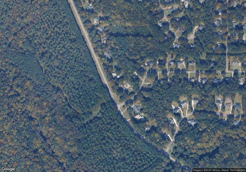
Map
Nearby Homes
- 1784 Mooty Bridge Rd
- 104 Sweetgum Dr
- 502 Ashford Cir
- 104 Englewood Dr
- 114 Red Oak Trail
- 103 Woodchase
- 110 Pond View Point
- 103 Windridge
- 107 Windridge
- 109 Windridge
- 102 Beech Creek Dr
- 204 Dixie Creek Dr
- 209 River Oaks Dr
- 203 S Chilton Crescent
- 201 S Chilton Crescent
- 91 Richmond Dr
- 106 Highland Park
- 732 Camellia Dr
- 724 Camellia Dr
- 106 Ewing St
- 101 Ashling Dr
- 1842 Mooty Bridge Rd
- 1792 Mooty Bridge Rd
- 103 Ashling Dr
- 100 Ashling Dr
- 102 Ashling Dr
- 1786 Mooty Bridge Rd
- 1868 Mooty Bridge Rd
- 106 Ashling Dr
- 105 Ashling Dr
- 103 St Anthony Dr
- 103 St Anthony Dr Unit LOT 2
- 107 Ashling Dr
- 108 Ashling Dr
- 1884 Mooty Bridge Rd
- 109 Ashling Dr
- 105 Saint Anthony Dr
- 1898 Mooty Bridge Rd
- 110 Ashling Dr
- 107 Saint Anthony Dr
Your Personal Tour Guide
Ask me questions while you tour the home.