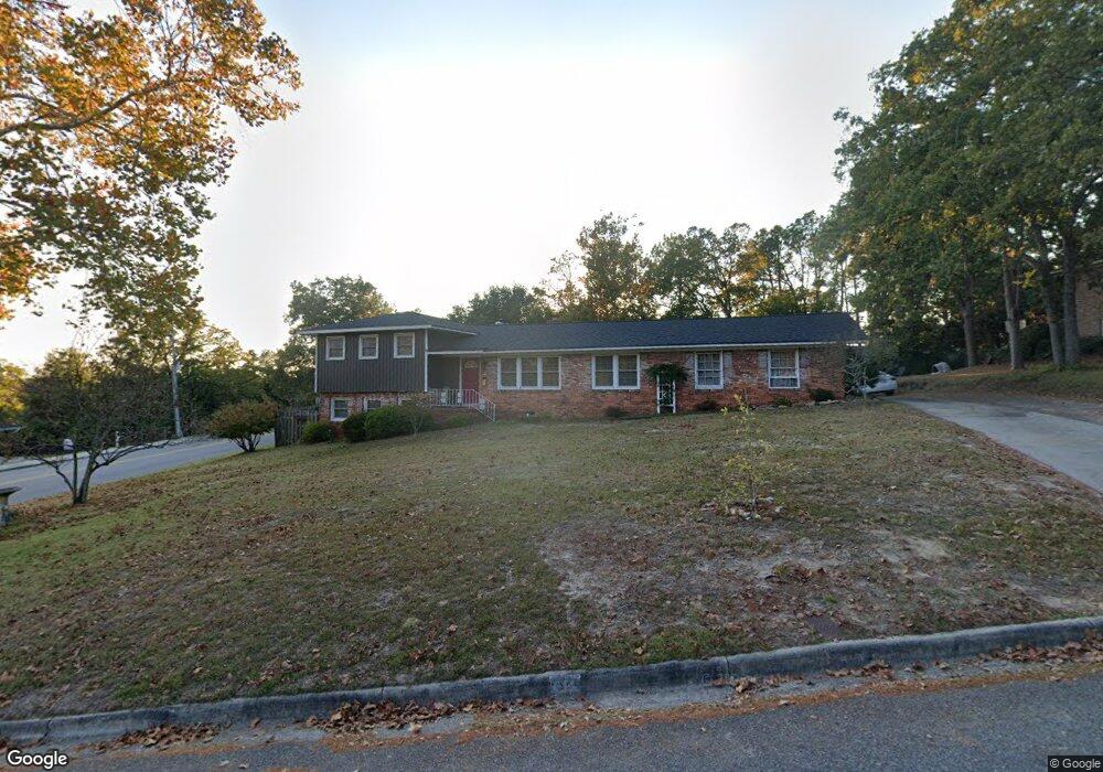
1824 Paris Ave North Augusta, SC 29841
Estimated Value: $293,000 - $350,000
4
Beds
3
Baths
1,618
Sq Ft
$194/Sq Ft
Est. Value
About This Home
This home is located at 1824 Paris Ave, North Augusta, SC 29841 and is currently estimated at $313,154, approximately $193 per square foot. 1824 Paris Ave is a home located in Aiken County with nearby schools including Hammond Hill Elementary School, Paul Knox Middle School, and North Augusta High School.
Ownership History
Date
Name
Owned For
Owner Type
Purchase Details
Closed on
Apr 16, 2009
Sold by
Pate Cryste T and Threlkeld Cryste
Bought by
Pate Benjamin M
Current Estimated Value
Create a Home Valuation Report for This Property
The Home Valuation Report is an in-depth analysis detailing your home's value as well as a comparison with similar homes in the area
Purchase History
| Date | Buyer | Sale Price | Title Company |
|---|---|---|---|
| Pate Benjamin M | -- | -- |
Source: Public Records
Tax History
| Year | Tax Paid | Tax Assessment Tax Assessment Total Assessment is a certain percentage of the fair market value that is determined by local assessors to be the total taxable value of land and additions on the property. | Land | Improvement |
|---|---|---|---|---|
| 2025 | $717 | $7,160 | -- | -- |
| 2023 | $718 | $7,160 | $1,390 | $174,360 |
| 2022 | $692 | $7,090 | $0 | $0 |
| 2021 | $693 | $7,090 | $0 | $0 |
| 2020 | $612 | $6,170 | $0 | $0 |
| 2019 | $612 | $6,170 | $0 | $0 |
| 2018 | $613 | $6,170 | $1,000 | $5,170 |
| 2017 | $582 | $0 | $0 | $0 |
| 2016 | $583 | $0 | $0 | $0 |
| 2015 | $529 | $0 | $0 | $0 |
| 2014 | $530 | $0 | $0 | $0 |
| 2013 | -- | $0 | $0 | $0 |
Source: Public Records
Map
Nearby Homes
- 1818 Mountside Dr
- 1815 Mountside Dr
- 1836 Mountside Dr
- 5093 Anna Creek Way
- 4027 Jane Ln Unit 10B
- 201 Cadada Ct
- 611 Caroline Ct Unit 8a
- 613 Caroline Ct Unit 8b
- 617 Caroline Ct Unit 8c
- 623 Caroline Ct Unit 8d
- 633 Caroline Ct Unit 7b
- 639 Caroline Ct Unit 7c
- 1902 Curtis Dr
- 5065 Anna Creek Way Unit FB25
- 5250 Anna Creek Way Unit Fb95
- 5236 Anna Creek Way Unit Fb96
- 5228 Anna Creek Way Unit Fb97
- 5085 Anna Creek Way Unit FB28
- 1883 Green Forest Dr
- 5145 Anna Creek Way Unit Fb32
- 1826 Paris Ave
- 1850 Bolin Rd
- 1820 Pisgah Rd
- 1825 Pisgah Rd
- 1823 Pisgah Rd
- 1828 Pisgah Rd
- 1848 Bolin Rd
- 1827 Pisgah Rd
- 1900 Bolin Rd
- 1831 Roan Ave
- 1831 Paris Ave
- 1829 Pisgah Rd
- 1824 Mountside Dr
- 1822 Mountside Dr
- 1846 Bolin Rd
- 1826 Mountside Dr
- 1830 Pisgah Rd
- 1843 Bolin Rd
- 1902 Bolin Rd
- 1831 Pisgah Rd
Your Personal Tour Guide
Ask me questions while you tour the home.