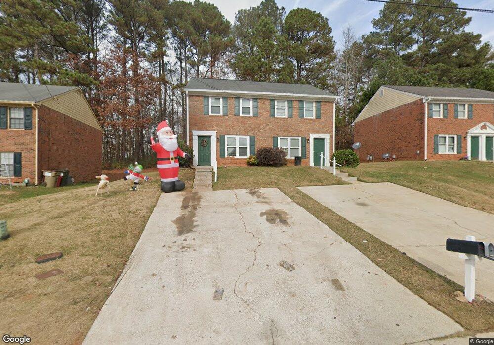
1824 Sturgeon Rd Buford, GA 30518
Estimated Value: $401,000 - $487,383
4
Beds
6
Baths
2,400
Sq Ft
$182/Sq Ft
Est. Value
About This Home
This home is located at 1824 Sturgeon Rd, Buford, GA 30518 and is currently estimated at $437,346, approximately $182 per square foot. 1824 Sturgeon Rd is a home located in Gwinnett County with nearby schools including Buford Elementary School, Buford Senior Academy, and Buford Academy.
Ownership History
Date
Name
Owned For
Owner Type
Purchase Details
Closed on
Sep 1, 2009
Sold by
Schlager Virginia L Trust
Bought by
1824 Sturgeon Road Land Trust
Current Estimated Value
Purchase Details
Closed on
Aug 28, 2009
Sold by
Grinchuk Vasiliy
Bought by
Schlager Virginia L Trust
Purchase Details
Closed on
Feb 16, 2005
Sold by
Virgin Brian
Bought by
Grinchuk Vasiliy
Home Financials for this Owner
Home Financials are based on the most recent Mortgage that was taken out on this home.
Original Mortgage
$98,400
Interest Rate
6.05%
Mortgage Type
New Conventional
Create a Home Valuation Report for This Property
The Home Valuation Report is an in-depth analysis detailing your home's value as well as a comparison with similar homes in the area
Home Values in the Area
Average Home Value in this Area
Purchase History
| Date | Buyer | Sale Price | Title Company |
|---|---|---|---|
| 1824 Sturgeon Road Land Trust | -- | -- | |
| Schlager Virginia L Trust | $70,000 | -- | |
| Grinchuk Vasiliy | $123,000 | -- |
Source: Public Records
Mortgage History
| Date | Status | Borrower | Loan Amount |
|---|---|---|---|
| Previous Owner | Grinchuk Vasiliy | $98,400 |
Source: Public Records
Tax History Compared to Growth
Tax History
| Year | Tax Paid | Tax Assessment Tax Assessment Total Assessment is a certain percentage of the fair market value that is determined by local assessors to be the total taxable value of land and additions on the property. | Land | Improvement |
|---|---|---|---|---|
| 2025 | -- | $154,840 | $32,400 | $122,440 |
| 2024 | $2,282 | $159,040 | $32,400 | $126,640 |
| 2023 | $2,282 | $108,240 | $21,600 | $86,640 |
| 2022 | $1,925 | $134,120 | $18,000 | $116,120 |
| 2021 | $1,083 | $75,440 | $12,000 | $63,440 |
| 2020 | $1,083 | $75,440 | $12,000 | $63,440 |
| 2019 | $850 | $67,720 | $12,000 | $55,720 |
| 2018 | $838 | $64,640 | $12,000 | $52,640 |
| 2016 | $613 | $47,800 | $8,000 | $39,800 |
| 2015 | $564 | $42,480 | $6,600 | $35,880 |
| 2014 | $370 | $42,480 | $6,600 | $35,880 |
Source: Public Records
Map
Nearby Homes
- 103 Maddox Rd
- 0 French Blvd
- 190 Maddox Rd
- 4316 Woodland Bank Blvd
- 4506 Magnolia Club Cir
- 1669 Centerville Dr
- 4895 Sterling Close
- 4245 Woodland Bank Blvd
- 4831 Miller Hill Rd
- 2267 Pink Hawthorn Dr
- 1402 Frontier Dr
- 1182 Edwin Ln
- 27 Morgan St
- 4173 Chatham Ridge Dr
- 25 Morgan St
- 3 Buford Village Walk
- 3735 Fir Dr
- 425 Church St
- 1264 Brynhill Ct
- 1834 Sturgeon Rd
- 1814 Sturgeon Rd
- 1844 Sturgeon Rd Unit 1&2
- 1844 Sturgeon Rd
- 1844 Sturgeon Rd
- 1804 Sturgeon Rd
- 1794 Sturgeon Rd
- 1854 Sturgeon Rd
- 1817 Sturgeon Rd
- 1825 Sturgeon Rd
- 1805 Sturgeon Rd
- 1855 Sturgeon Rd
- 1786 Sturgeon Rd
- 1784 Sturgeon Rd
- 1864 Sturgeon Rd
- 1797 Sturgeon Rd
- 0 Sturgeon Rd Unit 7395906
- 0 Sturgeon Rd Unit 7141965
- 0 Sturgeon Rd Unit 7419926
- 0 Sturgeon Rd Unit 8189255