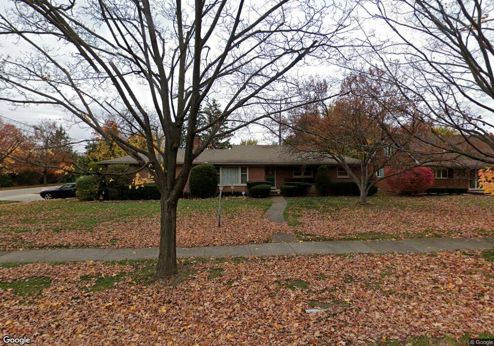
18244 Roseland Blvd Lathrup Village, MI 48076
Estimated Value: $295,000 - $343,000
3
Beds
3
Baths
1,631
Sq Ft
$200/Sq Ft
Est. Value
About This Home
This home is located at 18244 Roseland Blvd, Lathrup Village, MI 48076 and is currently estimated at $326,217, approximately $200 per square foot. 18244 Roseland Blvd is a home located in Oakland County with nearby schools including Alice M. Birney K-8 School, Mcintyre Elementary School, and Crescent Academy Pk-1.
Ownership History
Date
Name
Owned For
Owner Type
Purchase Details
Closed on
Dec 13, 2006
Sold by
Lakota Rudolph and Lakota Mary
Bought by
Gray Joanne
Current Estimated Value
Home Financials for this Owner
Home Financials are based on the most recent Mortgage that was taken out on this home.
Original Mortgage
$124,800
Outstanding Balance
$74,325
Interest Rate
6.24%
Mortgage Type
Purchase Money Mortgage
Estimated Equity
$251,892
Purchase Details
Closed on
Oct 2, 1996
Sold by
Lakota Rudolph
Bought by
Lakota Trust
Create a Home Valuation Report for This Property
The Home Valuation Report is an in-depth analysis detailing your home's value as well as a comparison with similar homes in the area
Home Values in the Area
Average Home Value in this Area
Purchase History
| Date | Buyer | Sale Price | Title Company |
|---|---|---|---|
| Gray Joanne | $156,000 | Transnation Title | |
| Lakota Trust | -- | -- |
Source: Public Records
Mortgage History
| Date | Status | Borrower | Loan Amount |
|---|---|---|---|
| Open | Gray Joanne | $124,800 |
Source: Public Records
Tax History Compared to Growth
Tax History
| Year | Tax Paid | Tax Assessment Tax Assessment Total Assessment is a certain percentage of the fair market value that is determined by local assessors to be the total taxable value of land and additions on the property. | Land | Improvement |
|---|---|---|---|---|
| 2024 | $3,707 | $148,930 | $0 | $0 |
| 2023 | $3,571 | $129,160 | $0 | $0 |
| 2022 | $3,292 | $121,260 | $0 | $0 |
| 2021 | $4,014 | $112,000 | $0 | $0 |
| 2020 | $2,948 | $109,460 | $0 | $0 |
| 2019 | $3,676 | $104,750 | $0 | $0 |
| 2018 | $3,627 | $96,660 | $0 | $0 |
| 2017 | $3,588 | $89,110 | $0 | $0 |
| 2016 | $3,587 | $79,200 | $0 | $0 |
| 2015 | -- | $70,600 | $0 | $0 |
| 2014 | -- | $60,830 | $0 | $0 |
| 2011 | -- | $61,590 | $0 | $0 |
Source: Public Records
Map
Nearby Homes
- 29239 Somerset Dr
- 29214 Candlewood Ln
- 29140 Candlewood Ln
- 29484 Spring Hill Dr
- 18797 Wiltshire Blvd
- 21650 W 11 Mile Rd
- 29848 Rambling Rd
- 27943 Sunset Blvd W
- 29807 Spring Hill Dr
- 29743 Chelmsford Rd
- 28580 Red Leaf Ln
- 28249 Red Leaf Ln
- 28405 Stuart Ave
- 28775 Glasgow St
- 18240 Webster Ave
- 18830 San Quentin Dr
- 27714 California Dr NE
- 19601 W 12 Mile Rd Unit 102
- 27619 California Dr SW
- 29662 Westbrook Pkwy
- 18226 Roseland Blvd
- 18210 Roseland Blvd
- 18245 Roseland Blvd
- 28739 Blackstone Dr
- 18414 Roseland Blvd
- 18200 Roseland Blvd
- 18255 Roseland Blvd
- 18436 Roseland Blvd
- 18211 W 12 Mile Rd Unit 2
- 18211 W 12 Mile Rd Unit 1
- 18211 W 12 Mile Rd
- 18421 Roseland Blvd
- 28731 Blackstone Dr
- 18411 W 12 Mile Rd
- 18180 Roseland Blvd
- 18170 Roseland Blvd
- 28736 Blackstone Dr
- 28742 Blackstone Dr
- 28717 Blackstone Dr
- 18454 Roseland Blvd