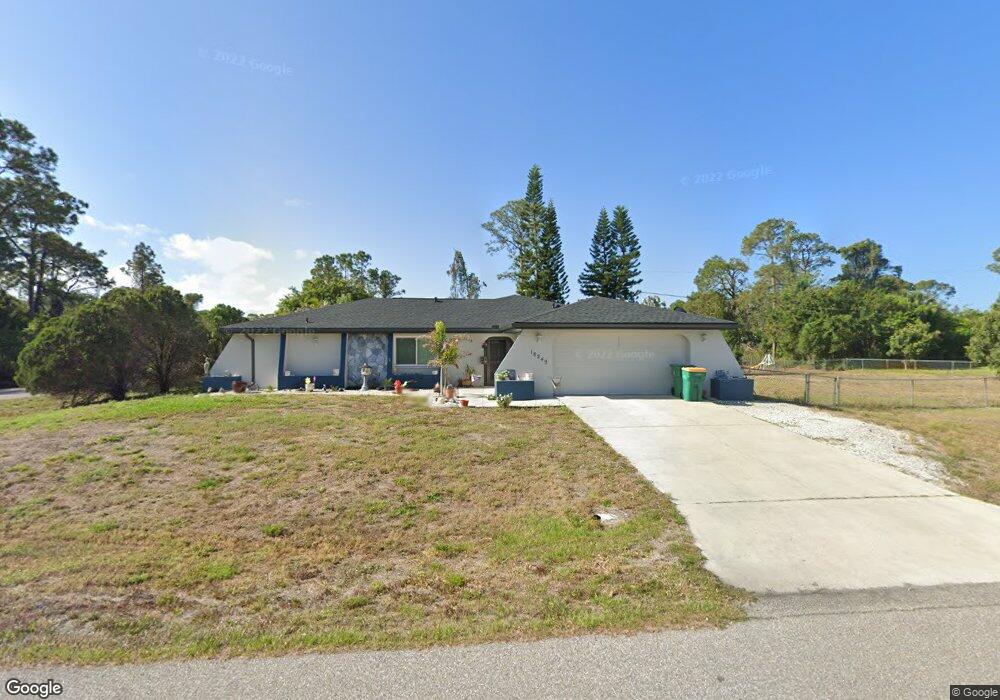
18249 Steele Ave Port Charlotte, FL 33948
Estimated Value: $356,000 - $488,000
3
Beds
2
Baths
2,774
Sq Ft
$144/Sq Ft
Est. Value
About This Home
This home is located at 18249 Steele Ave, Port Charlotte, FL 33948 and is currently estimated at $399,143, approximately $143 per square foot. 18249 Steele Ave is a home located in Charlotte County with nearby schools including Liberty Elementary School, Murdock Middle School, and Port Charlotte High School.
Ownership History
Date
Name
Owned For
Owner Type
Purchase Details
Closed on
Jul 31, 2014
Sold by
Fannie Mae
Bought by
Makray Joseph C and Makray Barbara K
Current Estimated Value
Purchase Details
Closed on
Feb 18, 2014
Sold by
Kelley Jason and Kelley Nicole
Bought by
Federal National Mortgage Association
Purchase Details
Closed on
Jun 15, 1998
Sold by
Derenge Helen L and Derenge Michael J
Bought by
Kelley Jason and Kelley Nicole
Home Financials for this Owner
Home Financials are based on the most recent Mortgage that was taken out on this home.
Original Mortgage
$76,943
Interest Rate
7.14%
Mortgage Type
FHA
Create a Home Valuation Report for This Property
The Home Valuation Report is an in-depth analysis detailing your home's value as well as a comparison with similar homes in the area
Home Values in the Area
Average Home Value in this Area
Purchase History
| Date | Buyer | Sale Price | Title Company |
|---|---|---|---|
| Makray Joseph C | $159,500 | None Available | |
| Federal National Mortgage Association | -- | Attorney | |
| Kelley Jason | $77,000 | -- |
Source: Public Records
Mortgage History
| Date | Status | Borrower | Loan Amount |
|---|---|---|---|
| Previous Owner | Kelley Jason | $76,943 |
Source: Public Records
Tax History Compared to Growth
Tax History
| Year | Tax Paid | Tax Assessment Tax Assessment Total Assessment is a certain percentage of the fair market value that is determined by local assessors to be the total taxable value of land and additions on the property. | Land | Improvement |
|---|---|---|---|---|
| 2023 | $2,668 | $194,415 | $0 | $0 |
| 2022 | $2,555 | $188,752 | $0 | $0 |
| 2021 | $2,542 | $183,254 | $0 | $0 |
| 2020 | $2,481 | $180,724 | $0 | $0 |
| 2019 | $2,385 | $176,661 | $0 | $0 |
| 2018 | $2,198 | $173,367 | $0 | $0 |
| 2017 | $2,172 | $169,801 | $0 | $0 |
| 2016 | $2,155 | $166,309 | $0 | $0 |
| 2015 | $3,231 | $145,452 | $0 | $0 |
| 2014 | $1,752 | $99,140 | $0 | $0 |
Source: Public Records
Map
Nearby Homes
- 18106 Wintergarden Ave
- 3038 Sargeant St
- 3063 Sargeant St
- 18181 Wakashan Ave
- 18158 Wakashan Ave
- 18157 Wakashan Ave
- 2466 Fourwind St
- 18133 Wakashan Ave
- 2490 Woodyglen St
- 18334 Avon Ave
- 18125 Wakashan Ave
- 2586 Auburn Blvd
- 2626 Auburn Blvd
- 2445 Cannolot Blvd
- 18335 Oxford Ave
- 2707 Auburn Blvd
- 18406 Avon Ave
- 18059 Regan Ave
- 18095 Shirley Ave
- 18191 Wakashan Ave
- 18238 Wintergarden Ave
- 18238 Steele Ave
- 18230 Wintergarden Ave
- 18223 Steele Ave
- 18230 Steele Ave
- 18268 Wintergarden Ave
- 18215 Steele Ave
- 18249 Regan Ave
- 18239 Regan Ave
- 18214 Steele Ave
- 2498 Dando St
- 18214 Wintergarden Ave
- 18231 Regan Ave
- 2513 Haven St
- 18243 Wintergarden Ave
- 2505 Haven St
- 18278 Wintergarden Ave
- 18222 Steele Ave
- 18223 Regan Ave
- 18222 Wintergarden Ave