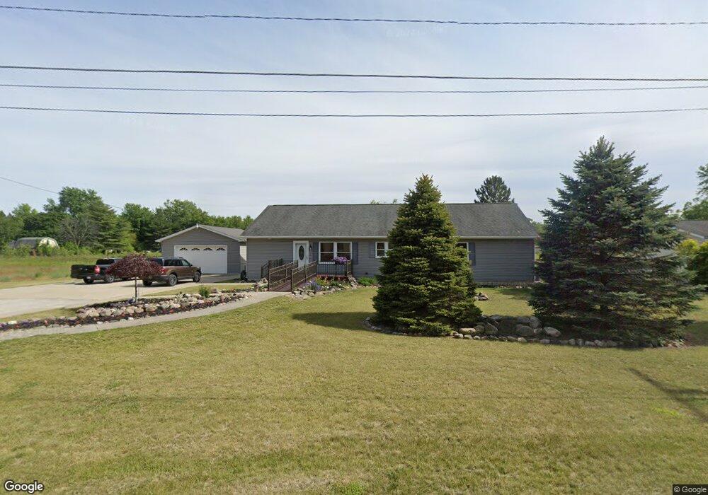
1825 Ann St Carleton, MI 48117
Estimated Value: $280,708 - $299,000
Studio
--
Bath
--
Sq Ft
26,136
Sq Ft
About This Home
This home is located at 1825 Ann St, Carleton, MI 48117 and is currently estimated at $291,177. 1825 Ann St is a home located in Monroe County with nearby schools including Airport Senior High School and Carleton Community Baptist.
Ownership History
Date
Name
Owned For
Owner Type
Purchase Details
Closed on
Aug 29, 2015
Sold by
Young Dale and Young Jean
Bought by
Young Dale and Young Jean
Current Estimated Value
Home Financials for this Owner
Home Financials are based on the most recent Mortgage that was taken out on this home.
Original Mortgage
$110,000
Interest Rate
3.97%
Mortgage Type
New Conventional
Purchase Details
Closed on
Dec 15, 2014
Sold by
Young Dale A and Young Jean
Bought by
The Dale Young & Jean Young Revocable Tr and Young Jean
Create a Home Valuation Report for This Property
The Home Valuation Report is an in-depth analysis detailing your home's value as well as a comparison with similar homes in the area
Home Values in the Area
Average Home Value in this Area
Purchase History
| Date | Buyer | Sale Price | Title Company |
|---|---|---|---|
| Young Dale | -- | None Available | |
| Young Dale | -- | Complete Title Services Llc | |
| The Dale Young & Jean Young Revocable Tr | -- | None Available |
Source: Public Records
Mortgage History
| Date | Status | Borrower | Loan Amount |
|---|---|---|---|
| Closed | Young Dale | $110,000 |
Source: Public Records
Tax History
| Year | Tax Paid | Tax Assessment Tax Assessment Total Assessment is a certain percentage of the fair market value that is determined by local assessors to be the total taxable value of land and additions on the property. | Land | Improvement |
|---|---|---|---|---|
| 2025 | $909 | $140,300 | $140,300 | $0 |
| 2024 | $1,682 | $137,600 | $0 | $0 |
| 2023 | $1,822 | $115,200 | $0 | $0 |
| 2022 | $2,570 | $115,200 | $0 | $0 |
| 2021 | $2,472 | $111,200 | $0 | $0 |
| 2020 | $2,442 | $96,800 | $0 | $0 |
| 2019 | $2,402 | $96,800 | $0 | $0 |
| 2018 | $1,734 | $87,100 | $0 | $0 |
| 2017 | $2,319 | $87,100 | $0 | $0 |
| 2016 | $2,223 | $80,900 | $0 | $0 |
| 2015 | $1,485 | $68,700 | $0 | $0 |
| 2014 | $2,083 | $68,700 | $0 | $0 |
| 2013 | -- | $62,900 | $0 | $0 |
Source: Public Records
Map
Nearby Homes
- 12464 Maxwell Rd
- 12259 Eldora St
- 12361 Spencer Ln
- 1405 Cedarcrest Dr
- 12850 Crane St
- 12751 Jones St
- 49 James Dr
- 13498 Exeter Rd
- 0 Oakville Waltz Rd Unit G50038710
- 1980 Oakville Waltz Rd
- 28503 Margaret Ln Unit 1
- VACANT Oakville Waltz Rd
- 36505 Bismark Rd
- 28264 Waltz Rd
- 9601 Exeter Rd
- 0000 Carleton Rockwood Rd
- 27750 Bell Rd
- 13680 Martinsville Rd
- 27125 Delos Rd
- 0000 Telegraph Rd
- 1827 Ann St
- 1826 Ann St
- 1915 Ann St
- 1694 Ann St
- 12280 Maxwell Rd
- 12272 Maxwell Rd
- 1680 Ann St
- 12371 Harris St
- 1 Maxwell Rd
- 12333 Harris St
- 12430 Maxwell Rd
- 0 Maxwell Rd Unit 29052062
- 0 Maxwell Rd Unit 217001370
- 0 Maxwell Rd Unit 4049298
- 0 Maxwell Rd Unit 4049296
- 0 Maxwell Rd Unit B 4167615
- 0 Maxwell Rd Unit 4460909
- 0 Maxwell Rd Unit 905765
- 0 Maxwell Rd Unit 905764
- 0 Maxwell Rd Unit 5534661
Your Personal Tour Guide
Ask me questions while you tour the home.