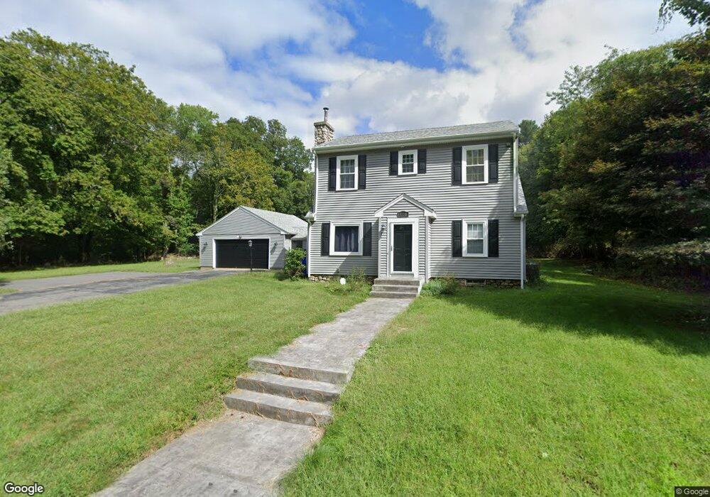
1825 Blossom Rd Westport, MA 02790
Estimated Value: $592,135 - $667,000
4
Beds
2
Baths
1,800
Sq Ft
$348/Sq Ft
Est. Value
About This Home
This home is located at 1825 Blossom Rd, Westport, MA 02790 and is currently estimated at $627,034, approximately $348 per square foot. 1825 Blossom Rd is a home located in Bristol County with nearby schools including North End Elementary School, Morton Middle School, and B M C Durfee High School.
Ownership History
Date
Name
Owned For
Owner Type
Purchase Details
Closed on
Oct 31, 2019
Sold by
Preble Sean S and Menard Jennifer J
Bought by
Pettey David and Pettey Louise
Current Estimated Value
Home Financials for this Owner
Home Financials are based on the most recent Mortgage that was taken out on this home.
Original Mortgage
$292,000
Outstanding Balance
$256,292
Interest Rate
3.7%
Mortgage Type
New Conventional
Estimated Equity
$370,742
Purchase Details
Closed on
May 9, 2002
Sold by
Lamontagne Norman J and Amaral Carol A
Bought by
Preble Sean S and Menaro Jennifer J
Home Financials for this Owner
Home Financials are based on the most recent Mortgage that was taken out on this home.
Original Mortgage
$173,630
Interest Rate
7.18%
Mortgage Type
Purchase Money Mortgage
Create a Home Valuation Report for This Property
The Home Valuation Report is an in-depth analysis detailing your home's value as well as a comparison with similar homes in the area
Home Values in the Area
Average Home Value in this Area
Purchase History
| Date | Buyer | Sale Price | Title Company |
|---|---|---|---|
| Pettey David | $365,000 | -- | |
| Pettey David | $365,000 | -- | |
| Preble Sean S | $179,000 | -- | |
| Preble Sean S | $179,000 | -- |
Source: Public Records
Mortgage History
| Date | Status | Borrower | Loan Amount |
|---|---|---|---|
| Open | Pettey David | $292,000 | |
| Closed | Pettey David | $292,000 | |
| Previous Owner | Preble Sean S | $200,000 | |
| Previous Owner | Preble Sean S | $173,630 |
Source: Public Records
Tax History Compared to Growth
Tax History
| Year | Tax Paid | Tax Assessment Tax Assessment Total Assessment is a certain percentage of the fair market value that is determined by local assessors to be the total taxable value of land and additions on the property. | Land | Improvement |
|---|---|---|---|---|
| 2025 | $5,325 | $465,100 | $183,000 | $282,100 |
| 2024 | $5,030 | $437,800 | $176,000 | $261,800 |
| 2023 | $4,853 | $395,500 | $152,100 | $243,400 |
| 2022 | $4,423 | $350,500 | $142,300 | $208,200 |
| 2021 | $4,464 | $322,800 | $142,700 | $180,100 |
| 2020 | $4,507 | $311,900 | $143,000 | $168,900 |
| 2019 | $4,491 | $308,000 | $145,300 | $162,700 |
| 2018 | $4,268 | $291,900 | $145,300 | $146,600 |
| 2017 | $3,889 | $277,800 | $133,300 | $144,500 |
| 2016 | $3,691 | $270,800 | $133,300 | $137,500 |
| 2015 | $3,558 | $272,000 | $133,300 | $138,700 |
| 2014 | $3,309 | $263,000 | $124,300 | $138,700 |
Source: Public Records
Map
Nearby Homes
- 55 Lynch Ln
- 128 Old Bedford Rd
- 44 Fenmore St
- 168 Windsor St
- 1796 Locust St
- 36 Fordney St
- 309 Yellow Hill Rd
- 200 David St
- 350 Doherty St
- 89 Lafayette St
- 85 Reney St
- 3 Diane Way
- 125 Angell St
- 219 Earle St Unit 3
- 217 Earle St Unit 2
- 215 Earle St Unit 1
- 172 Earle St
- 189 Lemuel St
- 235 Chavenson St
- 34 Alsop St
- 1925 Blossom Rd
- 1920 Blossom Rd
- 1787 Blossom Rd
- 1757 Blossom Rd
- 1820 Blossom Rd
- 1739 Blossom Rd
- 1745 Blossom Rd
- 2000 Blossom Rd
- 1985 Blossom Rd
- 2089 Blossom Rd
- 2116 Blossom Rd Unit 1
- 2107 Blossom Rd
- 292 Indian Town Rd
- 292 Indian Town Rd
- 294 Indian Town Rd
- 285 Indian Town Rd
- 0 Indian Town Rd Unit 72085037
- Lot Blossom Rd
- 297 Indian Town Rd
- 296 Indian Town Rd